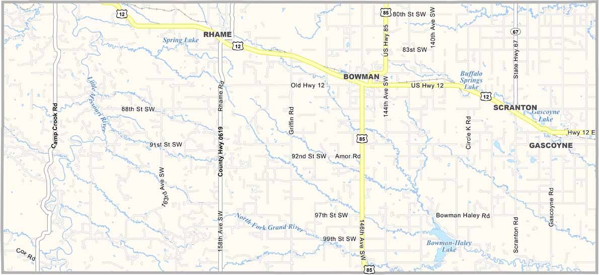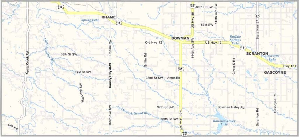
Bowman County Map, North Dakota

Bowman County, North Dakota

Bowman County occupies the southwestern corner of North Dakota, where wide open spaces define this rural area. Bowman, the county seat, serves as the local hub.

You'll find dinosaurs here, or at least their fossils. The Pioneer Trails Regional Museum showcases the area's prehistoric past, and oil development has brought new opportunities to the county.

Ranching and farming are the economic mainstays, and the annual PRCA rodeo brings cowboys from far and wide. The night sky here is something to behold, which is why star-gazing is such a popular pastime.
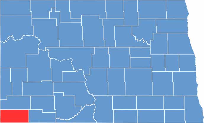
Bowman County location map of North Dakota
CategoryDetails
County NameBowman County
County SeatBowman
EtymologyNamed after Dakota territorial legislator Edward M. Bowman
Cities, Towns, and CommunitiesBowman, Rhame, Scranton, Marmarth
Interstates and HighwaysU.S. Route 12, North Dakota Highway 85
FIPS Code38-011
Total Area (Land and Water)1,885 square miles (land and water)
Adjacent Counties (and Direction)Slope County (North), Adams County (East), Harding County, South Dakota (South), Fallon County, Montana (West)
Time ZoneMountain Time Zone
StateNorth Dakota
Coordinates46.2856° N, 103.5418° W
Major LandmarksBowman County Historical Society Museum, Little Missouri River
PopulationApproximately 3,000
Scroll to Top