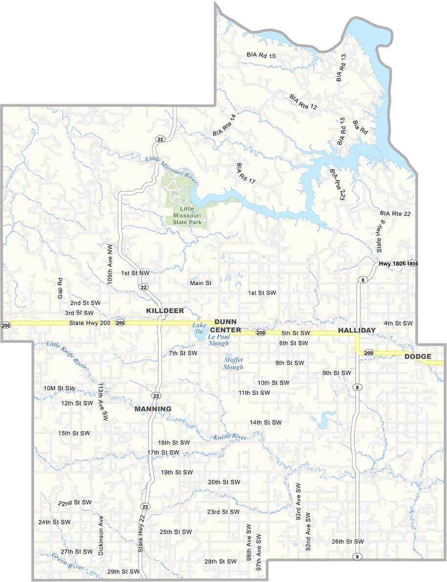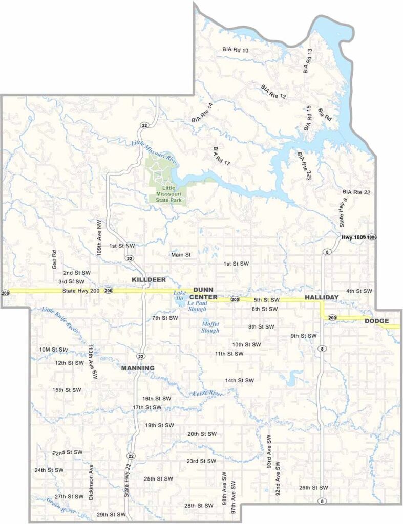
Dunn County Map, North Dakota

Dunn County, North Dakota

Dunn County sprawls across west-central North Dakota in the Badlands region, where rugged buttes and rolling prairie blend together. Killdeer, the largest town and county seat, is home to about 750 people.

The county is named after John Piatt Dunn, an early settler who ran a big ranch here in the late 1800s. These days, both ranching and farming are still important, but oil is the big player now.

Dunn County sits on the Bakken Formation, which has brought a lot of change in recent years, with the population and the economy both growing. Little Missouri State Park is a local highlight and a great spot for birdwatching.
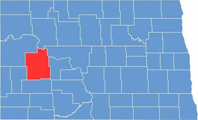
Dunn County location map of North Dakota
CategoryDetails
County NameDunn County
County SeatManning
EtymologyNamed after John Piatt Dunn, an early settler
Cities, Towns, and CommunitiesManning, Killdeer, Dunn Center, Halliday
Interstates and HighwaysNorth Dakota Highway 22, North Dakota Highway 200
FIPS Code38-025
Total Area (Land and Water)2,036 square miles (land and water)
Adjacent Counties (and Direction)Mountrail County (North), McLean County (Northeast), Mercer County (East), Stark County (South), Billings County (Southwest), McKenzie County (Northwest)
Time ZoneMountain Time Zone
StateNorth Dakota
Coordinates46.8128° N, 102.7824° W
Major LandmarksTheodore Roosevelt National Park, Dunn County Fairgrounds
PopulationApproximately 3,000
Scroll to Top