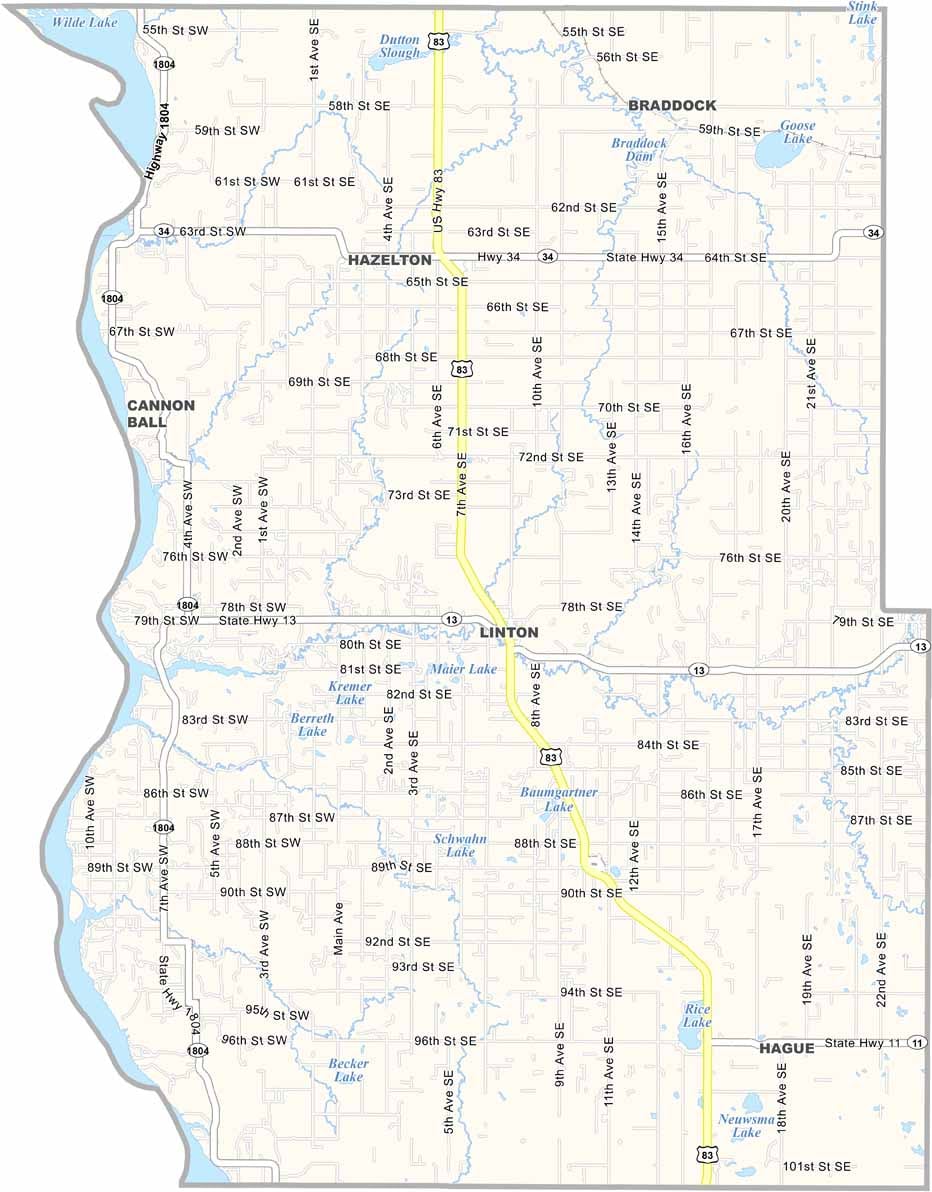
Emmons County Map, North Dakota

Emmons County, North Dakota

Emmons County stretches along the Missouri River in south-central North Dakota. Linton, the county seat, is home to about 1,000 residents. Its German-Russian heritage is still evident today, and you can taste it in the local cuisine.

The Missouri River forms the county's western border and is a paradise for walleye fishing. The prairie pothole region covers much of the eastern part of the county, and these wetlands are crucial for migrating waterfowl.

Agriculture is the backbone of the local economy, and cattle ranching is big here too. The county has some interesting history, and with its open plains and welcoming communities, Emmons County captures the quiet beauty of North Dakota's countryside.
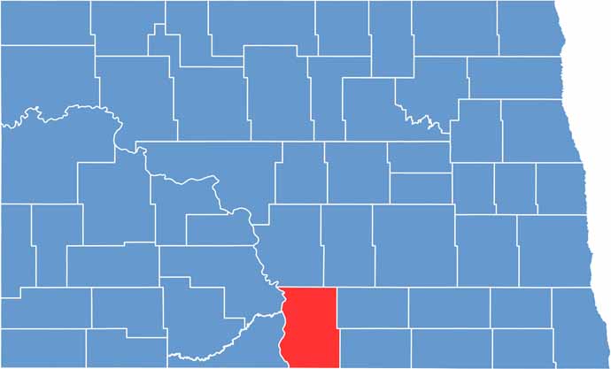
Emmons County location map of North Dakota
CategoryDetails
County NameEmmons County
County SeatLinton
EtymologyNamed after James Emmons
Cities, Towns, and CommunitiesLinton, Strasburg, Braddock, Hague
Interstates and HighwaysNorth Dakota Highway 13, North Dakota Highway 83
FIPS Code38-029
Total Area (Land and Water)1,274 square miles (land and water)
Adjacent Counties (and Direction)Burleigh County (North), Kidder County (Northeast), Logan County (East), McIntosh County (Southeast), Campbell County, South Dakota (South), Corson County, South Dakota (Southwest), Sioux County (West), Morton County (Northwest)
Time ZoneCentral Time Zone
StateNorth Dakota
Coordinates46.2328° N, 100.2773° W
Major LandmarksEmmons County Museum, Cross Ranch State Park
PopulationApproximately 3,000
Scroll to Top