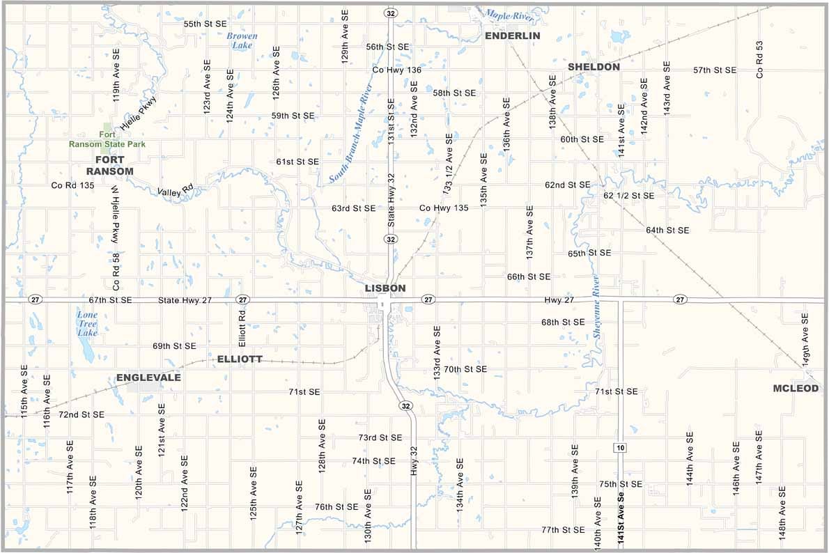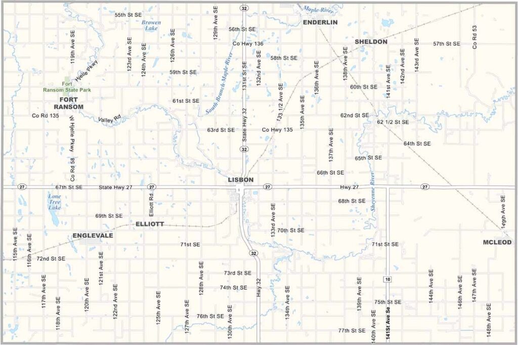
Ransom County Map, North Dakota

Ransom County, North Dakota

Ransom County lies in southeastern North Dakota, where the Sheyenne River meanders through the eastern half. Lisbon, the county seat, sits in the center of the county.

Agriculture drives the economy here, with corn, soybean, and wheat fields stretching to the horizon. Community is especially important in Ransom County.

The county has a rich history, and Fort Ransom State Park preserves a piece of it. You can still see wagon ruts from the old trail. The Sheyenne National Grassland also occupies a good chunk of the east.
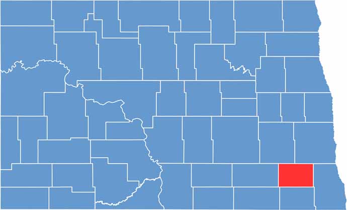
Ransom County location map of North Dakota
CategoryDetails
County NameRansom County
County SeatLisbon
EtymologyNamed after Fort Ransom
Cities, Towns, and CommunitiesLisbon, Fort Ransom, LaMoure, Enderlin
Interstates and HighwaysInterstate 29, North Dakota Highway 32
FIPS Code38-073
Total Area1,276 square miles (land and water)
Adjacent CountiesCass County (Northeast), Richland County (East), Sargent County (South), Dickey County (Southwest), LaMoure County (West), Barnes County (Northwest)
Time ZoneCentral Time Zone
StateNorth Dakota
Coordinates46.4937° N, 97.6794° W
Major LandmarksRansom County Museum, Fort Ransom State Park
PopulationApproximately 5,000
Scroll to Top