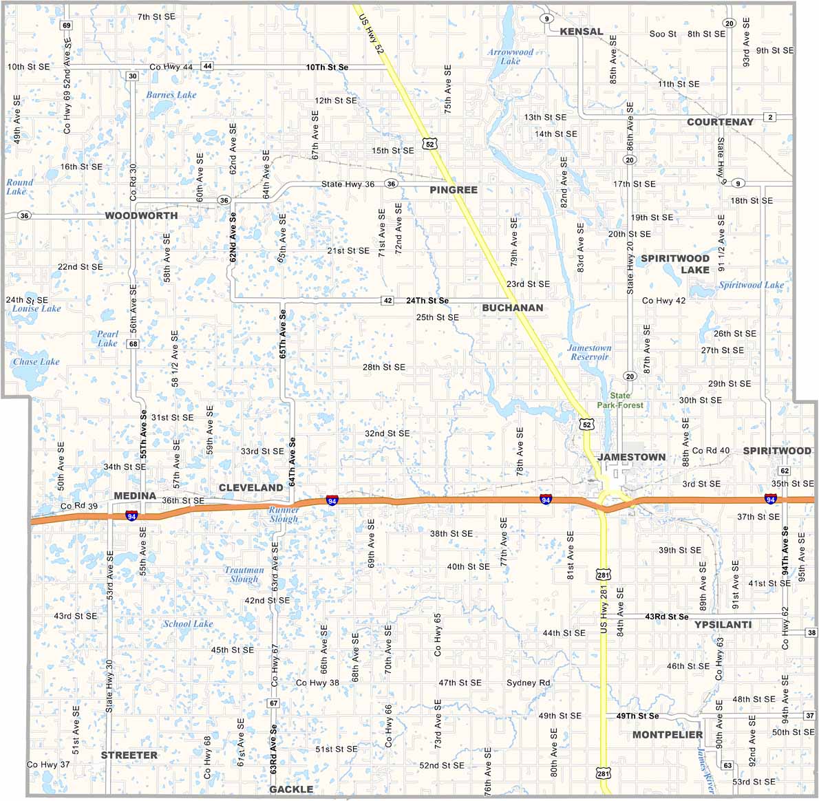
Stutsman County Map, North Dakota

Stutsman County, North Dakota

Stutsman County sits in the middle of North Dakota and is the second-largest county in the state by size. It has a rich agricultural heritage.

Jamestown, the county seat, is known as the "Buffalo City," and the world's largest buffalo statue stands guard here. It's a place with a quirky sense of humor and a lot of heart.

You might spot a white-tailed deer or two on the country roads. Fishing at Pipestem Dam is a favorite local pastime, and the Jamestown Reservoir offers plenty of other recreational opportunities. There's a strong sense of community here, because people take care of each other.
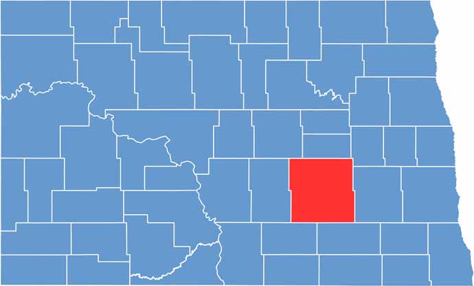
Stutsman County location map of North Dakota
CategoryDetails
County NameStutsman County
County SeatJamestown
EtymologyNamed after Dakota Territorial Legislator Enos Stutsman
Cities, Towns, and CommunitiesJamestown, Medina, Buchanan, Ypsilanti
Interstates and HighwaysInterstate 94, North Dakota Highway 281
FIPS Code38-093
Total Area2,216 square miles (land and water)
Adjacent CountiesFoster County (North), Griggs County (Northeast), Barnes County (East), LaMoure County (Southeast), Logan County (Southwest), Kidder County (West), Wells County (Northwest)
Time ZoneCentral Time Zone
StateNorth Dakota
Coordinates46.9036° N, 98.7020° W
Major LandmarksFort Seward, National Buffalo Museum
PopulationApproximately 20,000
Scroll to Top