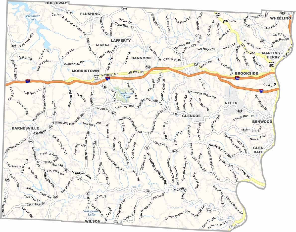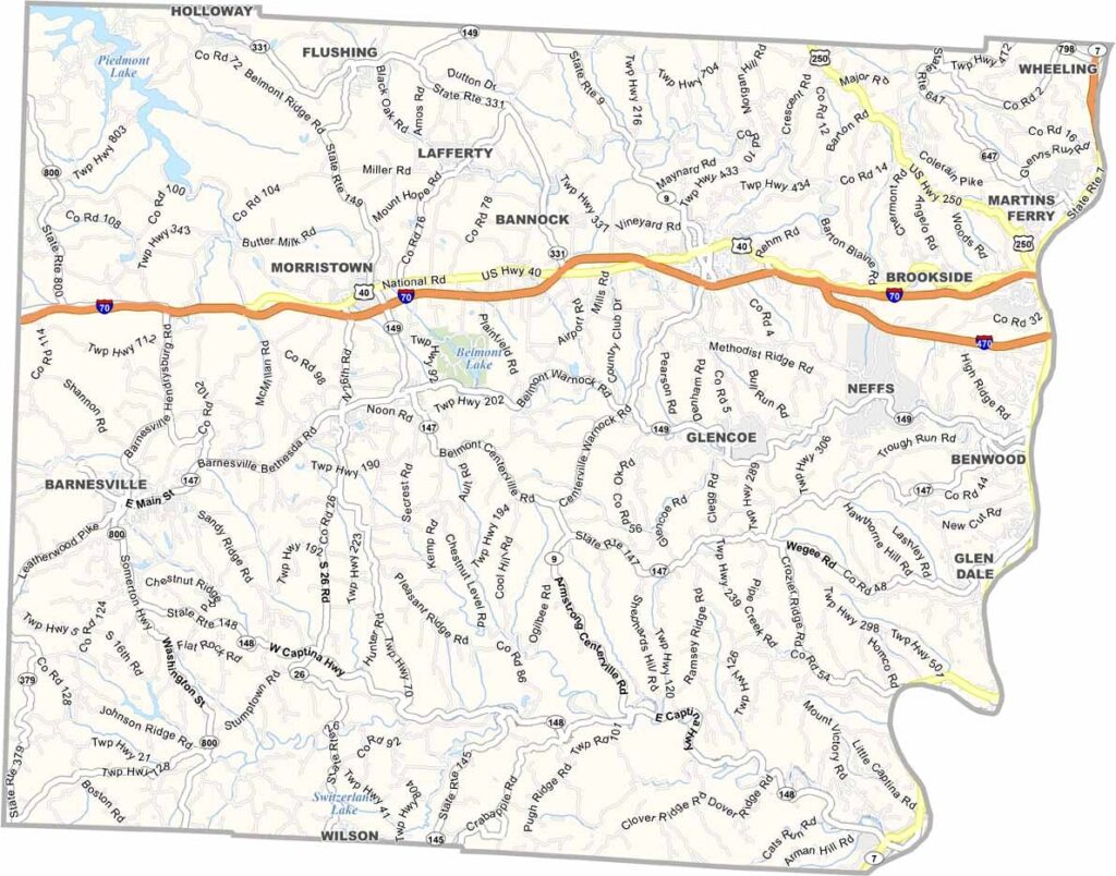
Belmont County Map, Ohio

Belmont County, Ohio

Belmont County lies in the eastern part of Ohio, within Appalachian Ohio. The Ohio River forms the county’s eastern border with West Virginia, and rolling hills and forests make for beautiful drives.

Coal mining has a rich history here, and its influence is still visible today. St. Clairsville, the county seat, boasts a charming historic district, with antique shops and local restaurants lining its streets.

The area is known for its friendly people. Outdoor recreation is a big draw, thanks to Barkcamp State Park and Belmont Lake. Belmont County blends small-town living with easy access to bigger cities.
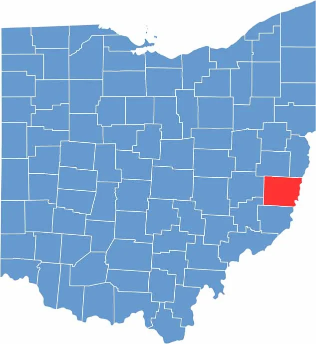

Belmont County location map of Ohio
CategoryDetails
County NameBelmont County
County SeatSt. Clairsville
EtymologyNamed after French for “beautiful mountain”
Cities, Towns, and CommunitiesSt. Clairsville, Martins Ferry, Bellaire, Bridgeport
Interstates and HighwaysInterstate 70, U.S. Highway 40, U.S. Highway 250
FIPS Code39-013
Total Area534 square miles (land and water)
Adjacent CountiesHarrison County (North), Jefferson County (Northeast), Ohio County, West Virginia (East), Marshall County, West Virginia (Southeast), Monroe County (South), Noble County (Southwest), Guernsey County (West)
Time ZoneEastern Time Zone
StateOhio
Coordinates40.0137° N, 80.7665° W
Major LandmarksBelmont County Historical Society Museum, Barkcamp State Park
PopulationApproximately 65,000
Scroll to Top