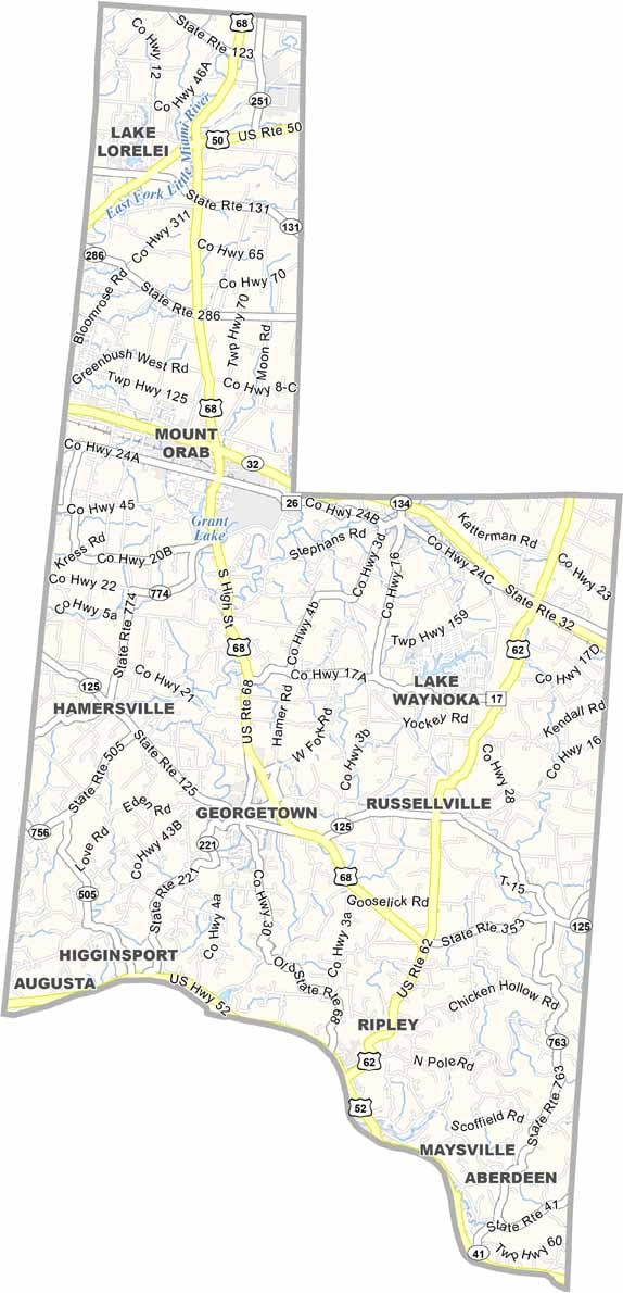
Brown County Map, Ohio

Brown County, Ohio

Brown County stretches along the Ohio River in southwest Ohio, bordering Kentucky to the south. It’s a place of gentle hills and fertile farmland, and Georgetown, the county seat, sits on US Highway 68.

Agriculture runs deep here, and tobacco was once king. Today you’ll see a variety of crops across the fields. U.S. Grant’s boyhood home is a popular attraction, while the Rankin House in Ripley served as an important stop on the Underground Railroad.

Fishing and boating are favorite pastimes on the Ohio River and Grant Lake. Life moves at a slower pace here, and Brown County’s charm lies in its rural beauty and rich history.
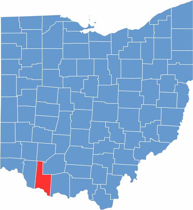

Brown County location map of Ohio
CategoryDetails
County NameBrown County
County SeatGeorgetown
EtymologyNamed after General Jacob Brown, an officer of the War of 1812
Cities, Towns, and CommunitiesGeorgetown, Mount Orab, Ripley, Sardinia
Interstates and HighwaysU.S. Highway 68, State Route 32, State Route 125
FIPS Code39-015
Total Area493 square miles (land and water)
Adjacent CountiesClinton County (North), Highland County (Northeast), Adams County (East), Mason County, Kentucky (Southeast), Bracken County, Kentucky (Southwest), Clermont County (West)
Time ZoneEastern Time Zone
StateOhio
Coordinates38.8511° N, 83.8753° W
Major LandmarksEdgewood Grove Park, Lake Lorelei
PopulationApproximately 46,000
Scroll to Top