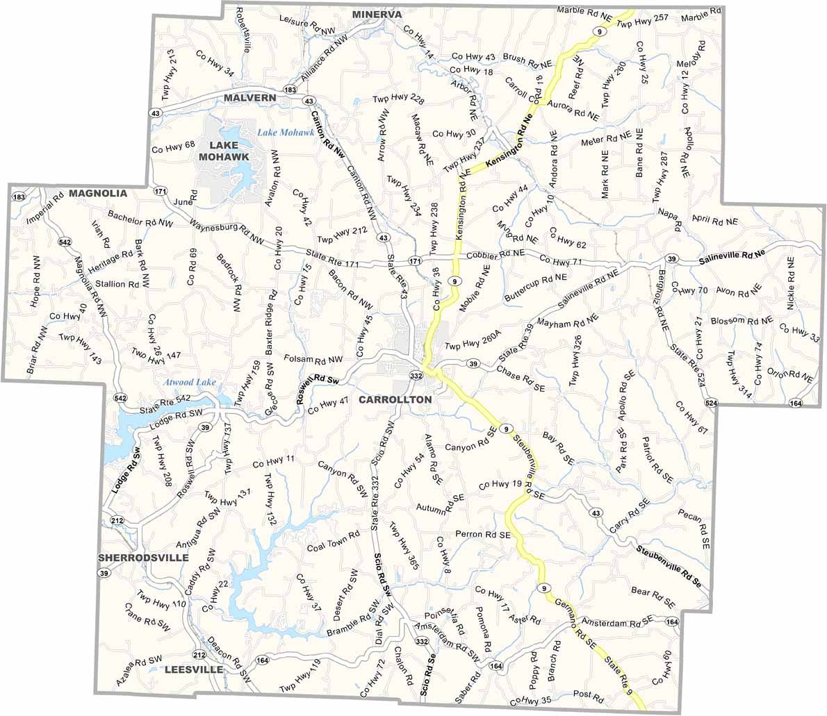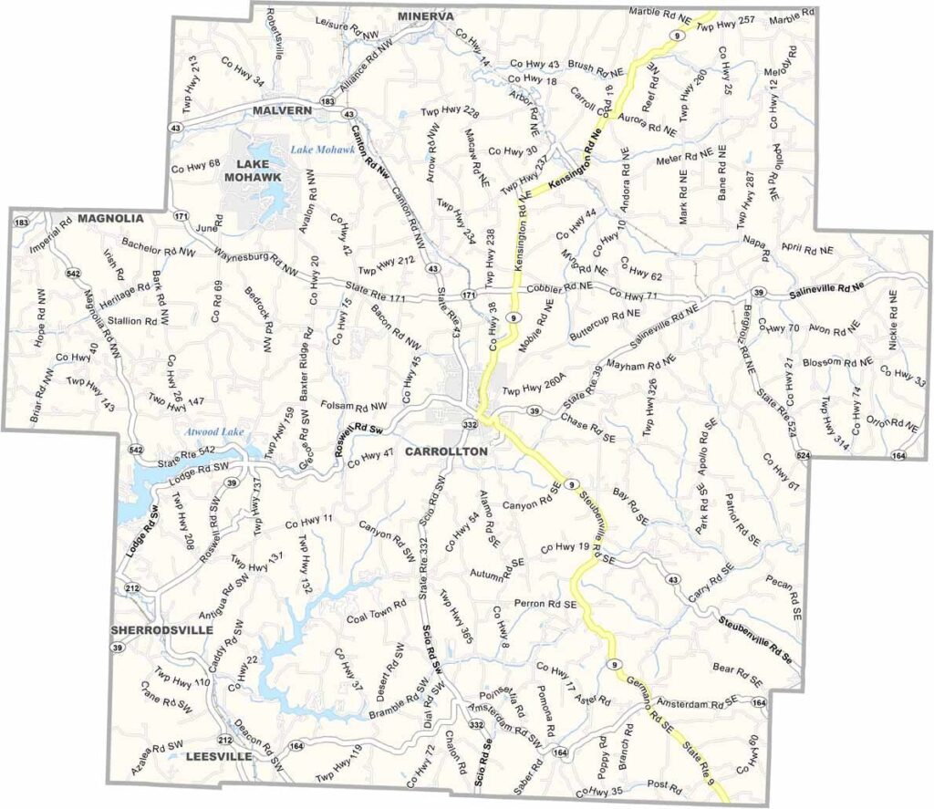
Carroll County Map, Ohio

Carroll County, Ohio

Carroll County is tucked away in eastern Ohio, within the state’s Appalachian region, and is known for its rolling hills and forests. Carrollton, the county seat, features a charming town square.

A strong sense of community runs through the area. Atwood Lake, in the west, is a popular spot for boating and fishing. The county has a rich farming heritage, and Amish buggies are a common sight on its country roads.

The Great Trail Festival celebrates the area’s frontier history. Carroll County offers a peaceful escape from city life, a place that values tradition and cherishes nature.
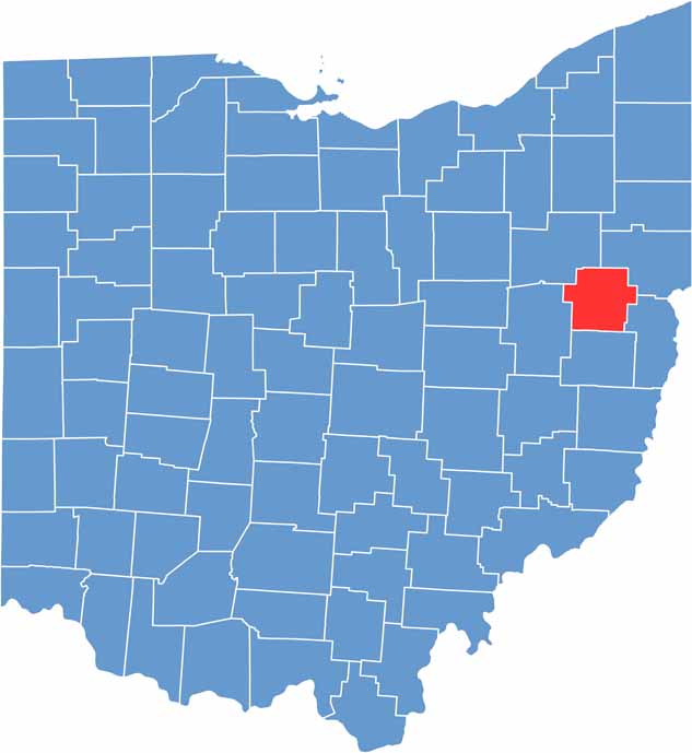

Carroll County location map of Ohio
CategoryDetails
County NameCarroll County
County SeatCarrollton
EtymologyNamed after Charles Carroll of Carrollton, a signer of the Declaration of Independence
Cities, Towns, and CommunitiesCarrollton, Malvern, Minerva, Leesville
Interstates and HighwaysU.S. Highway 30, State Route 43, State Route 39
FIPS Code39-019
Total Area399 square miles (land and water)
Adjacent CountiesColumbiana County (Northeast), Jefferson County (Southeast), Harrison County (South), Tuscarawas County (Southwest), Stark County (Northwest)
Time ZoneEastern Time Zone
StateOhio
Coordinates40.5818° N, 81.0930° W
Major LandmarksCarroll County Historical Society Museum, Atwood Lake Park
PopulationApproximately 28,000
Scroll to Top