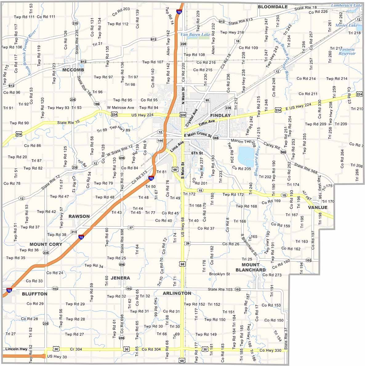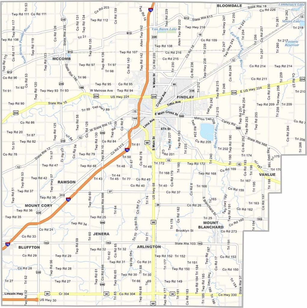
Hancock County Map, Ohio

Hancock County, Ohio

Hancock County sits in the flatlands of northwest Ohio. Findlay, the county seat, is where most of the action happens. It’s a place that takes pride in its small-town feel but isn’t afraid to think big.

Oil booms in the past left their mark, but these days it’s all about education and industry. The University of Findlay ranks among the best colleges in the Midwest, and Marathon Petroleum keeps the economy humming.

Locals love their parks, and there’s always a festival or fair going on. Outdoor types hit the Blanchard River for some kayaking. It’s the kind of place for simple living with a dash of ambition. That’s Hancock County for you.
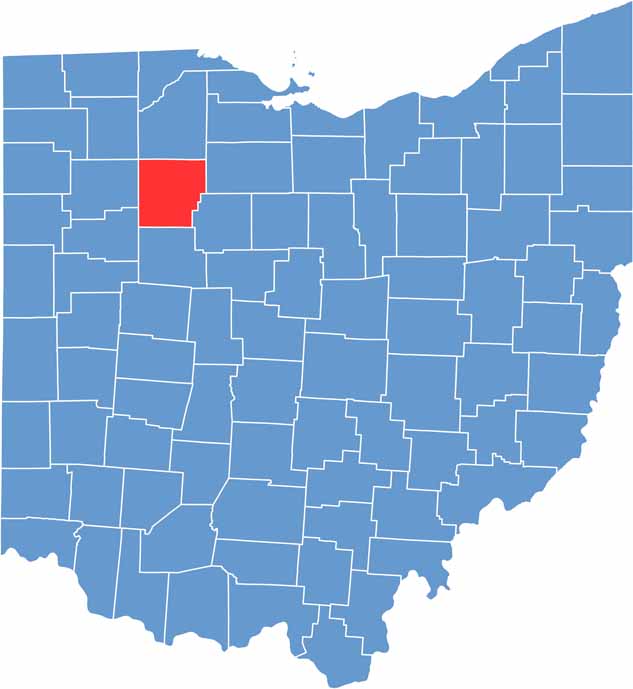

Hancock County location map of Ohio
CategoryDetails
County NameHancock County
County SeatFindlay
EtymologyNamed in honor of John Hancock, a signatory of the Declaration of Independence
Cities, Towns, and CommunitiesFindlay, Fostoria, Ottawa, Arlington
Interstates and HighwaysU.S. Highway 68, U.S. Highway 224, State Route 12
FIPS Code39-063
Total Area525 square miles (land and water)
Adjacent CountiesWood County (North), Seneca County (Northeast), Wyandot County (Southeast), Hardin County (South), Allen County (Southwest), Putnam County (West), Henry County (Northwest)
Time ZoneEastern Time Zone
StateOhio
Coordinates41.0480° N, 83.6494° W
Major LandmarksFindlay Village Mall, Hancock Historical Museum
PopulationApproximately 77,000
Scroll to Top