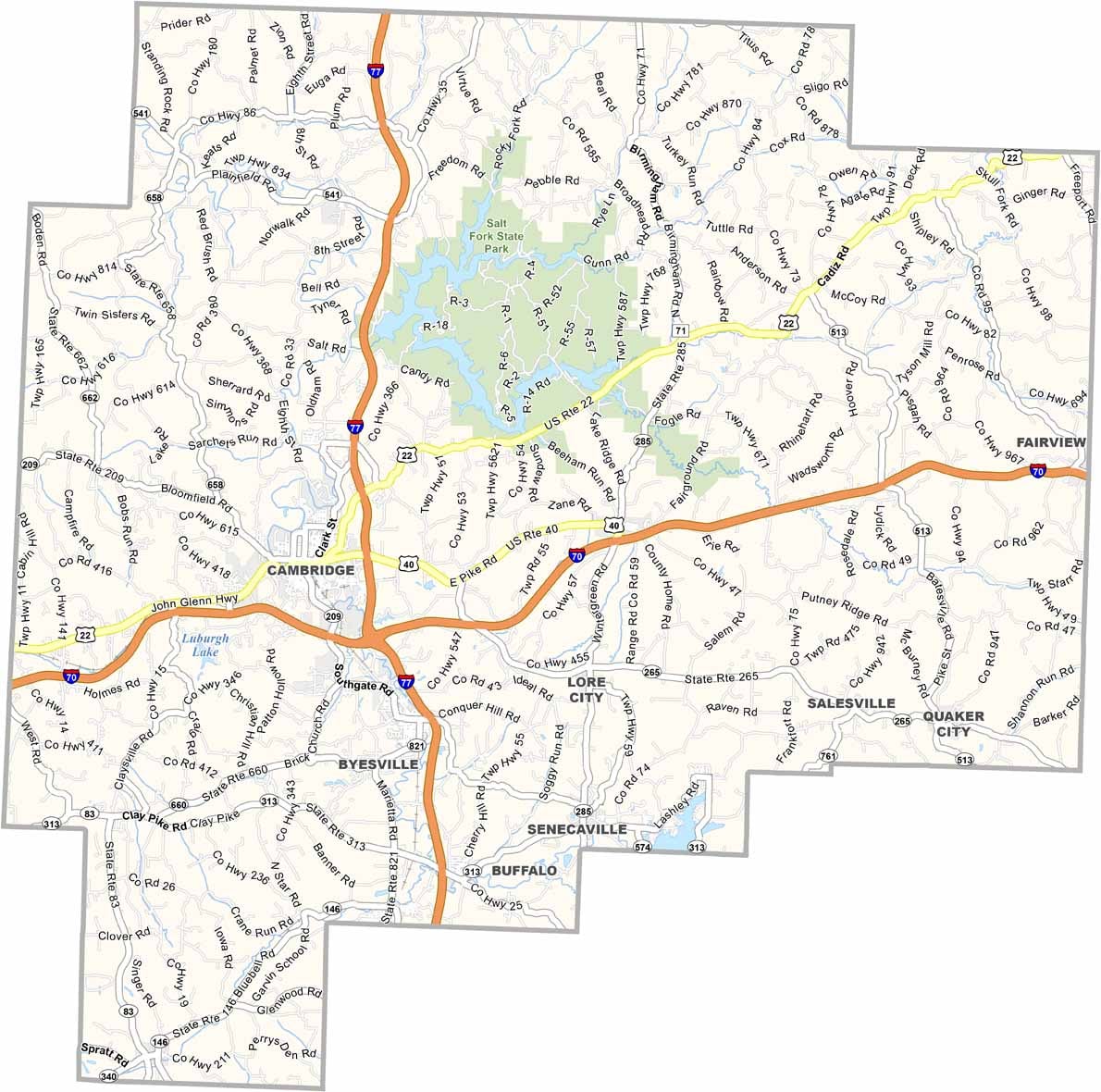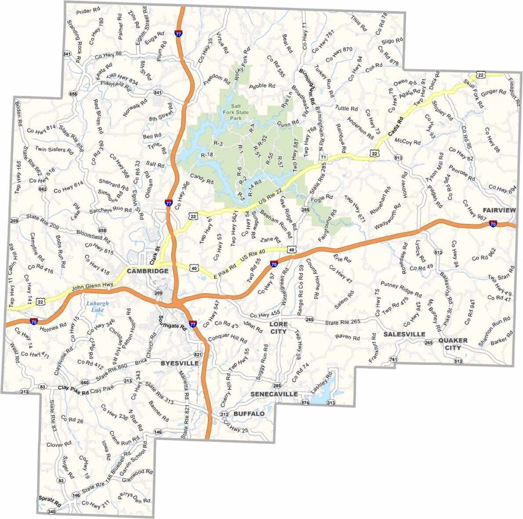
Guernsey County Map, Ohio

Guernsey County, Ohio

Guernsey County lies in eastern Ohio and is known for its rolling hills. It’s named after the Isle of Guernsey, the birthplace of many early settlers. Cambridge, the county seat, is known for its downtown murals, and they’re well worth a look.

The county has a rich glass-making history, and you can learn all about it at the National Museum of Cambridge Glass. It’s also home to Ohio’s largest state park. Yep, that’s right: Salt Fork State Park offers endless recreational opportunities.

The Hopalong Cassidy Trail is a unique attraction for fans of the old Western hero, who was born here, you know. The county’s location along I-70 and I-77 makes it an easy stop for travelers.
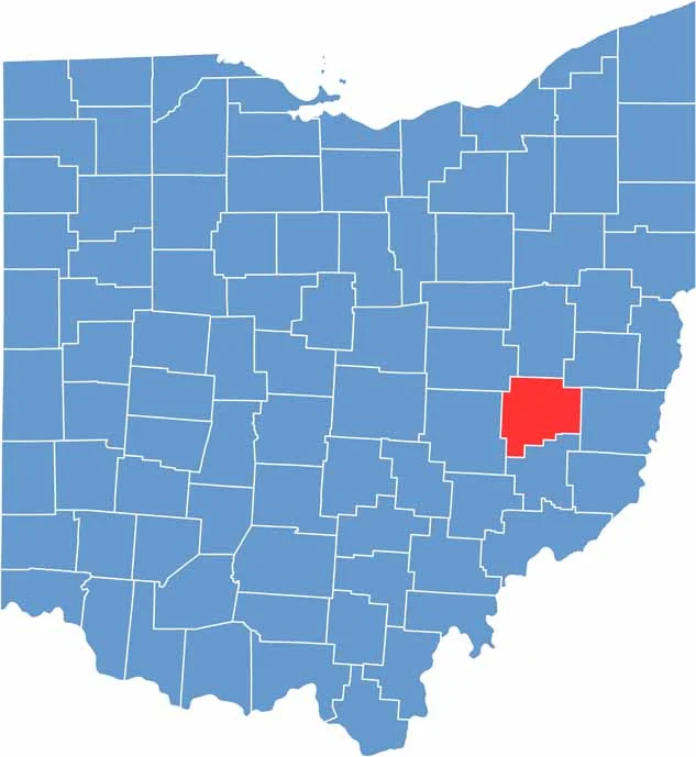

Guernsey County location map of Ohio
CategoryDetails
County NameGuernsey County
County SeatCambridge
EtymologyNamed after the Isle of Guernsey
Cities, Towns, and CommunitiesCambridge, Byesville, Lore City, Salesville
Interstates and HighwaysU.S. Highway 40, U.S. Highway 21, State Route 209
FIPS Code39-059
Total Area525 square miles (land and water)
Adjacent CountiesCoshocton County (Northwest), Tuscawaras County (North), Harrison County (Northeast), Muskingum County (West), Belmont County (East), Noble County (South)
Time ZoneEastern Time Zone
StateOhio
Coordinates40.0242° N, 81.5912° W
Major LandmarksSalt Fork State Park, Cambridge Main Street
PopulationApproximately 35,000
Scroll to Top