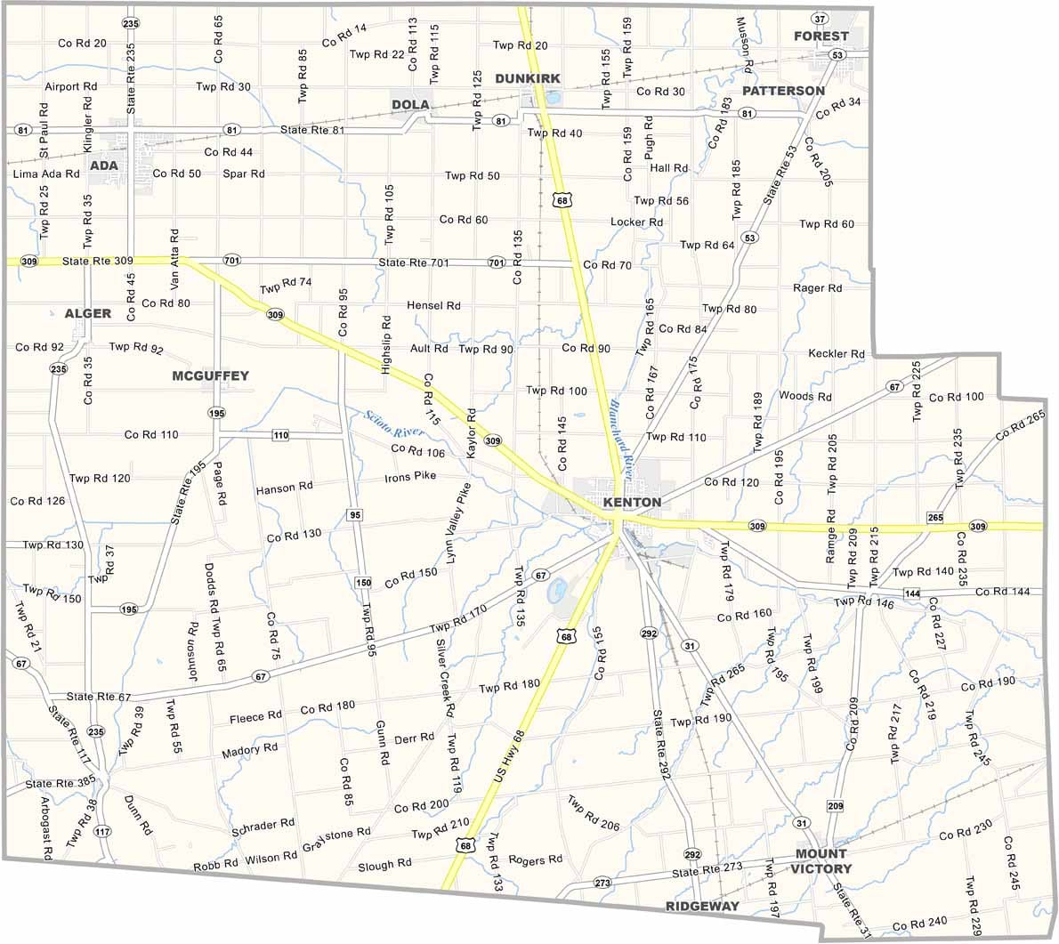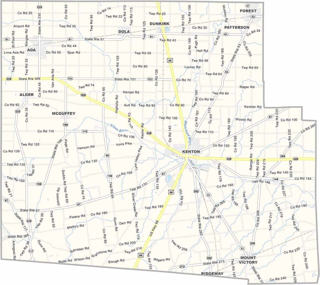
Hardin County Map, Ohio

Hardin County, Ohio

Hardin County sits right in the heart of Ohio, with Kenton as its county seat. It’s farm country, with plenty of soybean and corn fields, but there’s more to this place than agriculture.

The county has a rich history tied to the railroads, and you can still catch glimpses of that past today. Ada, home to Ohio Northern University, brings some college-town vibes.

The Hardin County Fairgrounds host events year-round, though it’s quiet most of the time. Residents enjoy a relaxed pace of life surrounded by open fields. That’s just how things are done in Hardin County.
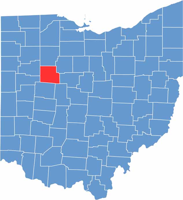

Hardin County location map of Ohio
CategoryDetails
County NameHardin County
County SeatKenton
EtymologyNamed after General John Hardin, Revolutionary War officer
Cities, Towns, and CommunitiesKenton, Ada, Dunkirk, Mount Victory
Interstates and HighwaysU.S. Highway 68, U.S. Highway 231, State Route 309
FIPS Code39-065
Total Area475 square miles (land and water)
Adjacent CountiesHancock County (North), Wyandot County (Northeast), Marion County (East), Union County (Southeast), Logan County (South), Auglaize County (Southwest), Allen County (Northwest)
Time ZoneEastern Time Zone
StateOhio
Coordinates40.6204° N, 83.6066° W
Major LandmarksHardin County Courthouse, Ada Historic District
PopulationApproximately 32,000
Scroll to Top