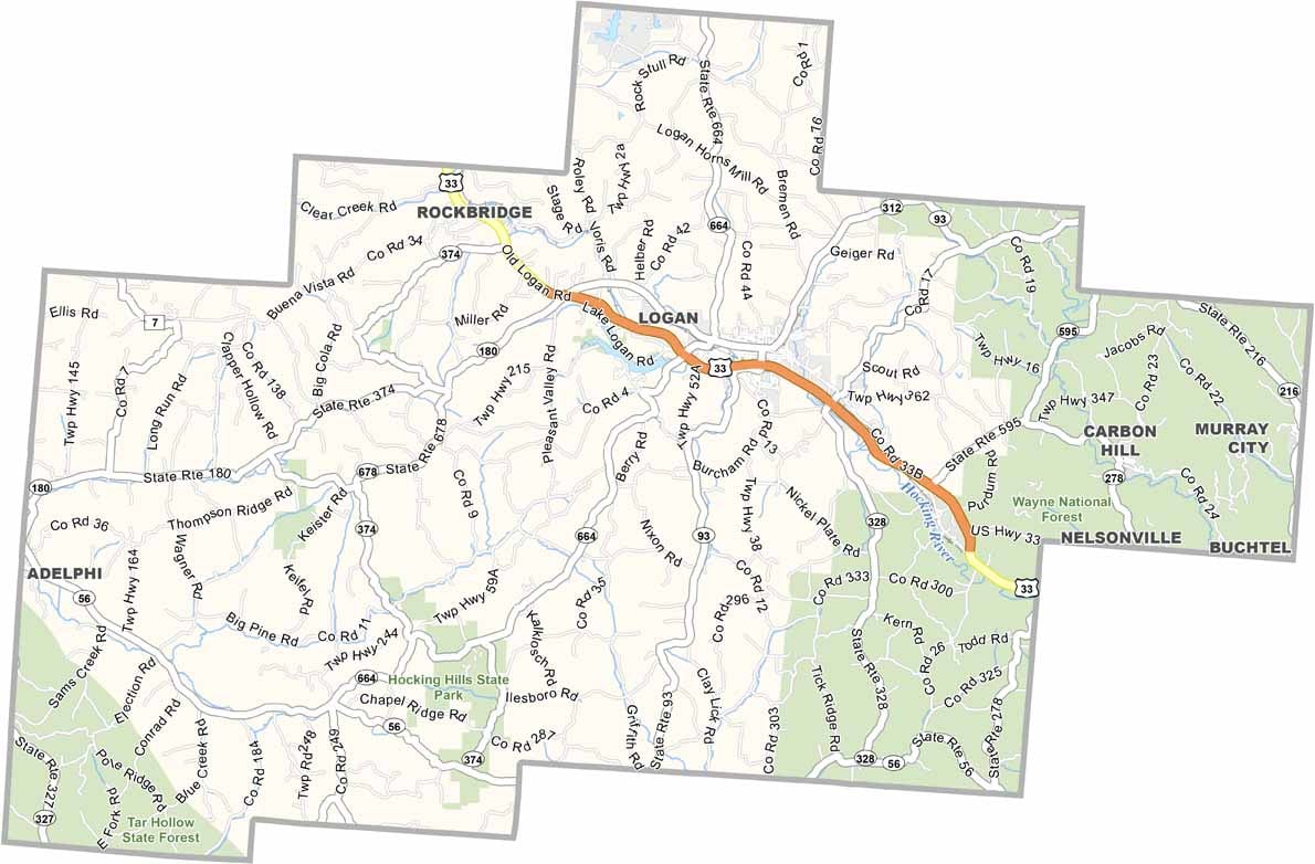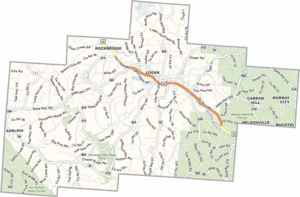
Hocking County Map, Ohio

Hocking County, Ohio

Hocking County lies in the southeastern part of Ohio, right in the heart of the Hocking Hills region. If you’re looking for natural beauty in Ohio, this county has it. Its history is tied to coal mining, but tourism is the big deal now.

This place is an outdoor lover’s paradise, with waterfalls, caves, and sandstone cliffs that draw hikers from all over. Wayne National Forest covers the eastern region, and Logan, the county seat, serves as a great base for exploring.

You can still catch glimpses of the past at places like the Hocking Valley Scenic Railway in Nelsonville. The local arts scene is thriving too, and festivals celebrate everything from moonshine to pawpaws. Hocking County is the kind of place that sticks with you long after you leave.
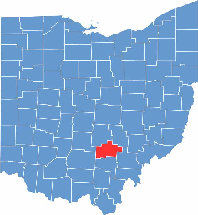

Hocking County location map of Ohio
CategoryDetails
County NameHocking County
County SeatLogan
EtymologyNamed after the Hocking River, derived from the Native American word “Hockhocking” meaning “bottle-shaped”
Cities, Towns, and CommunitiesLogan, Nelsonville, Murray City, Rockbridge
Interstates and HighwaysU.S. Highway 33, State Route 180, State Route 664
FIPS Code39-073
Total Area421 square miles (land and water)
Adjacent CountiesPerry County (Northeast), Athens County (Southeast), Vinton County (South), Ross County (Southwest), Pickaway County (West), Fairfield County (Northwest)
Time ZoneEastern Time Zone
StateOhio
Coordinates39.5370° N, 82.4100° W
Major LandmarksHocking Hills State Park, Old Man’s Cave
PopulationApproximately 30,000
Scroll to Top