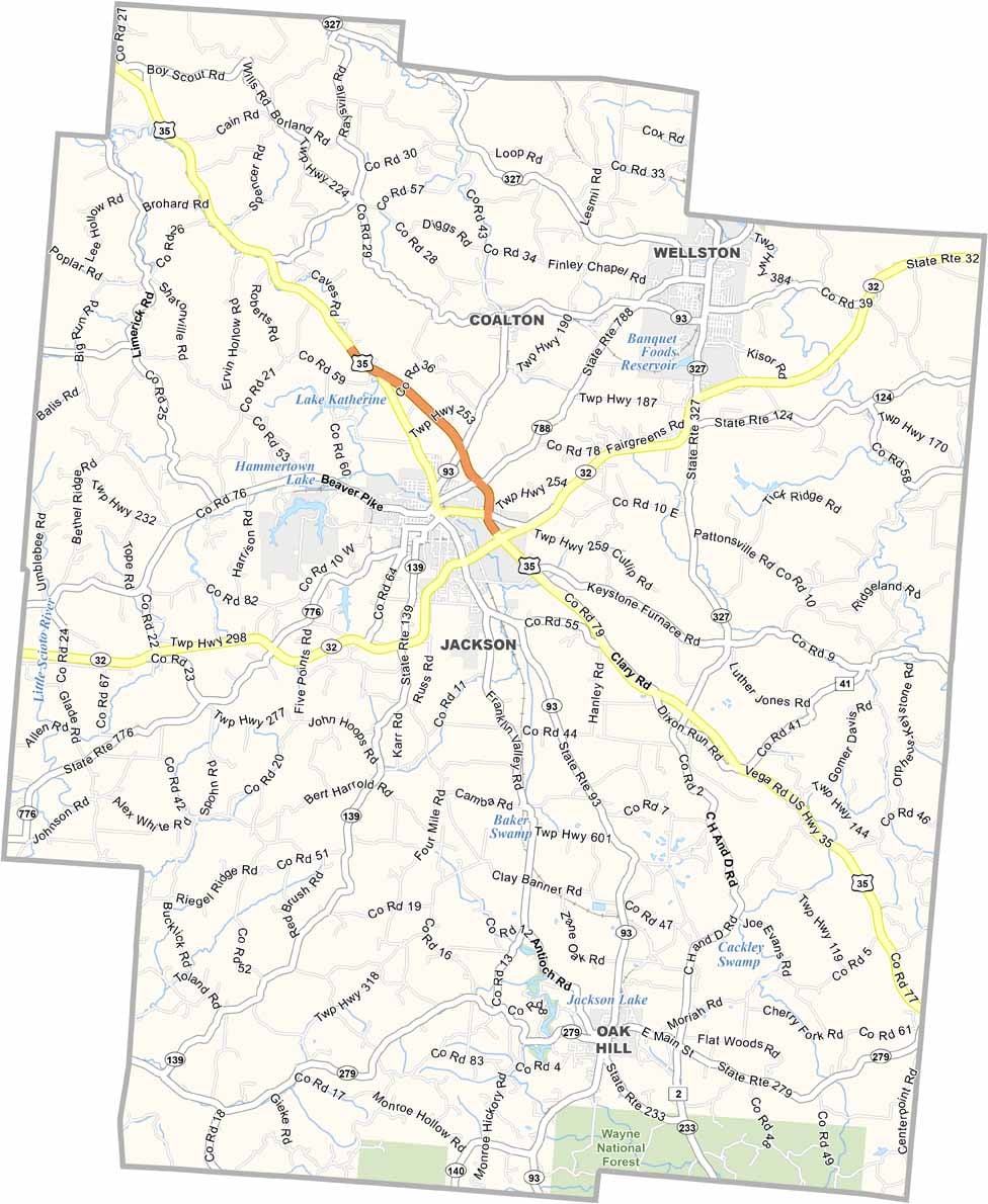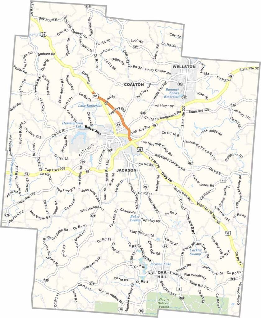
Jackson County Map, Ohio

Jackson County, Ohio

Jackson County lies in south-central Ohio, where the landscape gets interesting and the Appalachian foothills start to show themselves. The place has a rugged beauty to it, and Jackson, the county seat, sits right in the middle of it all.

The county has a long history with iron furnaces and coal mines, and you can still see remnants of that past today. These days, it’s more about small businesses and tourism. Lake Katharine State Nature Preserve is a must for hikers.

The Apple Festival in Jackson is a big draw every year, and locals are proud of their Welsh heritage. You’ll find some great BBQ joints around here too. Jackson County is the kind of place that grows on you.
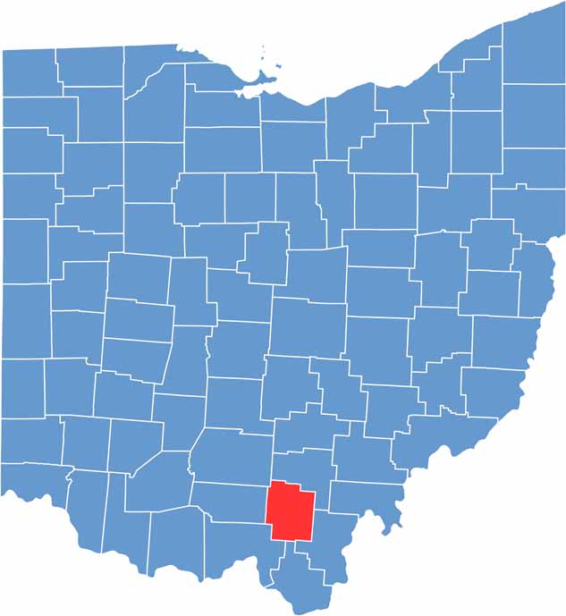

Jackson County location map of Ohio
CategoryDetails
County NameJackson County
County SeatJackson
EtymologyNamed in honor of U.S. President Andrew Jackson
Cities, Towns, and CommunitiesJackson, Wellston, Oak Hill, Coalton
Interstates and HighwaysU.S. Highway 35, U.S. Highway 50, State Route 32
FIPS Code39-079
Total Area423 square miles (land and water)
Adjacent CountiesVinton County (North), Gallia County (East), Lawrence County (South), Scioto County (Southwest), Pike County (West), Ross County (Northwest)
Time ZoneEastern Time Zone
StateOhio
Coordinates39.0294° N, 82.6222° W
Major LandmarksJackson County Fairgrounds, Jackson Lake
PopulationApproximately 30,000
Scroll to Top