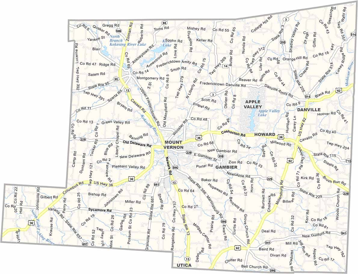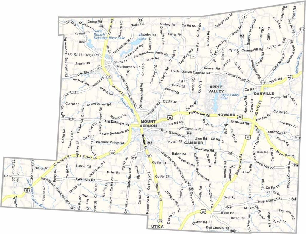
Knox County Map, Ohio

Knox County, Ohio

Knox County sits in the center of Ohio, and this place has character. Mount Vernon, the biggest city, feels like stepping back in time, with old-fashioned shops lining Main Street and friendly faces everywhere.

But Knox isn’t stuck in the past. It’s home to Kenyon College, one of the best liberal arts schools around, and the students bring fresh energy to the area.

The county is a mix of rural and small-town life. Farms stretch for miles, and then you’ll hit a quaint village. Amish buggies share the road with cars, making for an interesting blend. Knox County has its quirks too. Only in Knox.
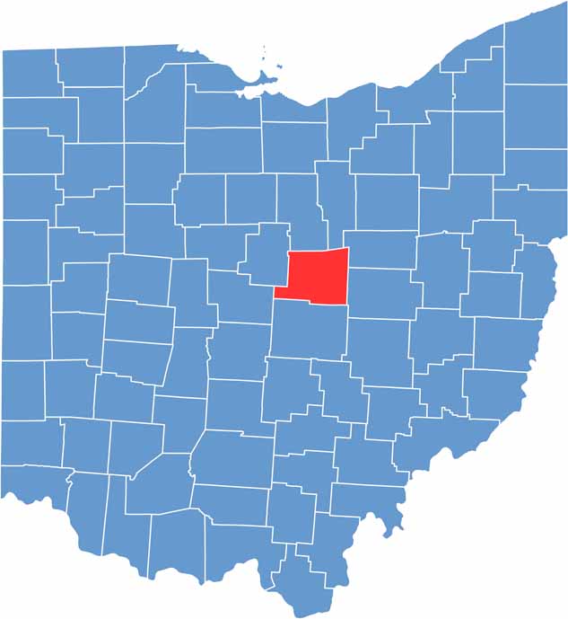

Knox County location map of Ohio
CategoryDetails
County NameKnox County
County SeatMount Vernon
EtymologyNamed after General Henry Knox, the first Secretary of War
Cities, Towns, and CommunitiesMount Vernon, Fredericktown, Danville, Gambier
Interstates and HighwaysU.S. Highway 36, U.S. Highway 62, State Route 3
FIPS Code39-083
Total Area525 square miles (land and water)
Adjacent CountiesRichland County (North), Ashland County (Northeast), Holmes County (Northeast), Coshocton County (East), Licking County (South), Delaware County (Southwest), Morrow County (Northwest)
Time ZoneEastern Time Zone
StateOhio
Coordinates40.3864° N, 82.3193° W
Major LandmarksKnox County Historical Society, Kenyon College
PopulationApproximately 62,000
Scroll to Top