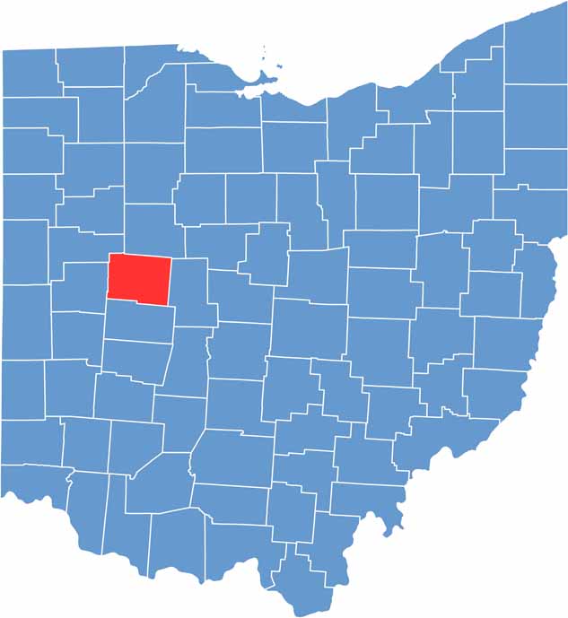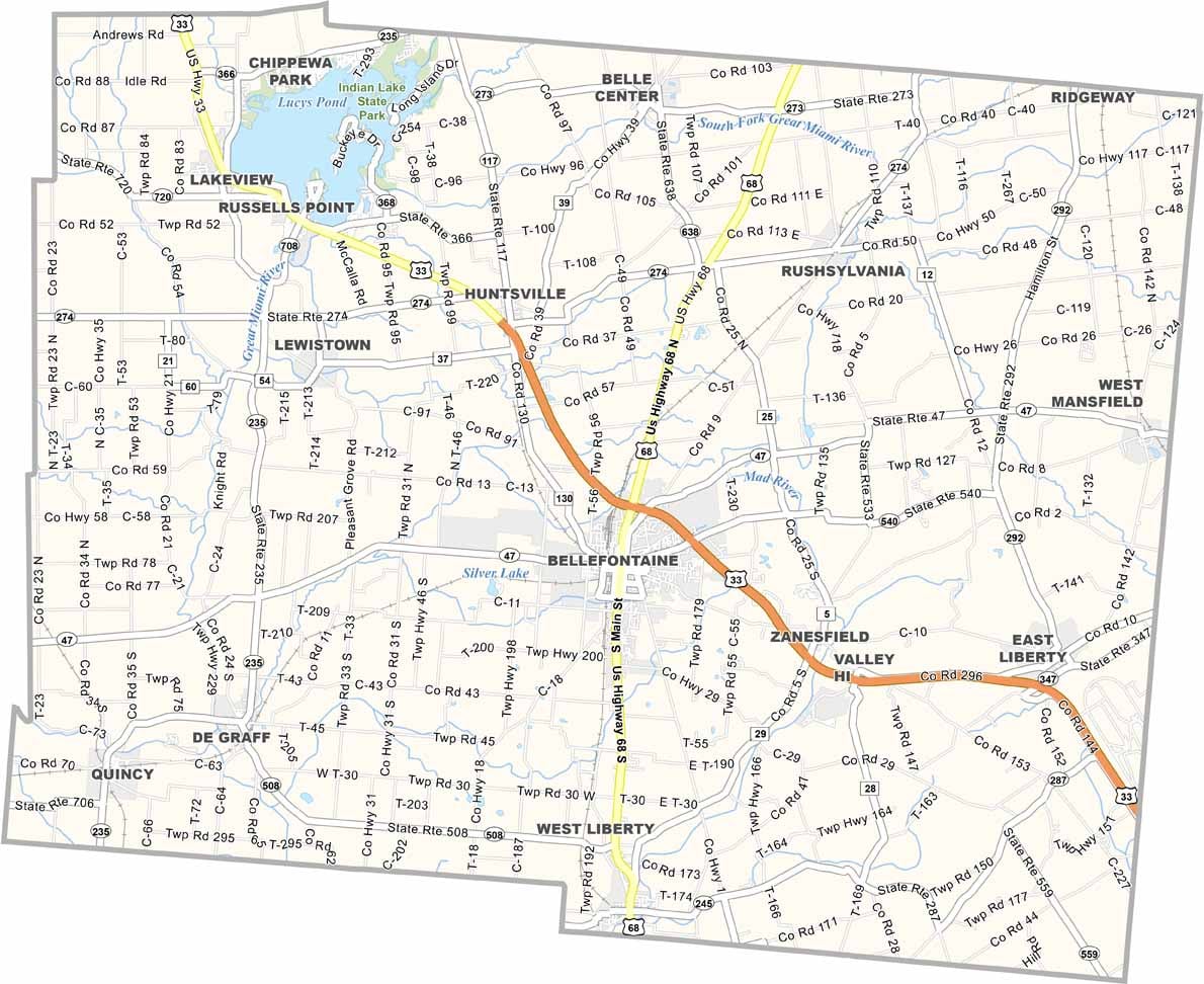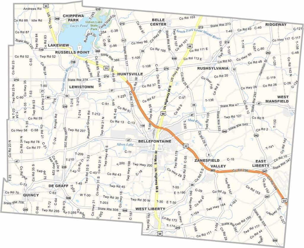
Logan County sits high in the hills of west-central Ohio. Here you’ll find the city of Bellefontaine, home to Ohio’s highest point, and Indian Lake State Park in the northeast, a summer hotspot for boating.
The county is full of surprises, like the world’s shortest street, McKinley Street in Bellefontaine, which is only 15 feet long. Logan County has deep roots too. The area was once home to several Native American tribes, and you can still see their influence today.
The county is also a paradise for anyone who loves the outdoors, with hiking trails crisscrossing the landscape. Campbell Hill, the highest point in Ohio, sits right next to Bellefontaine. Logan County might not be famous, but it has plenty to offer.