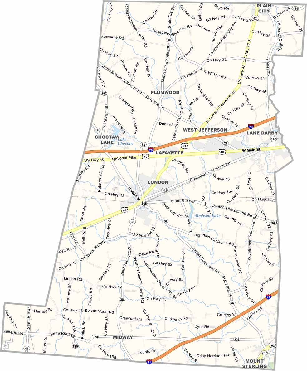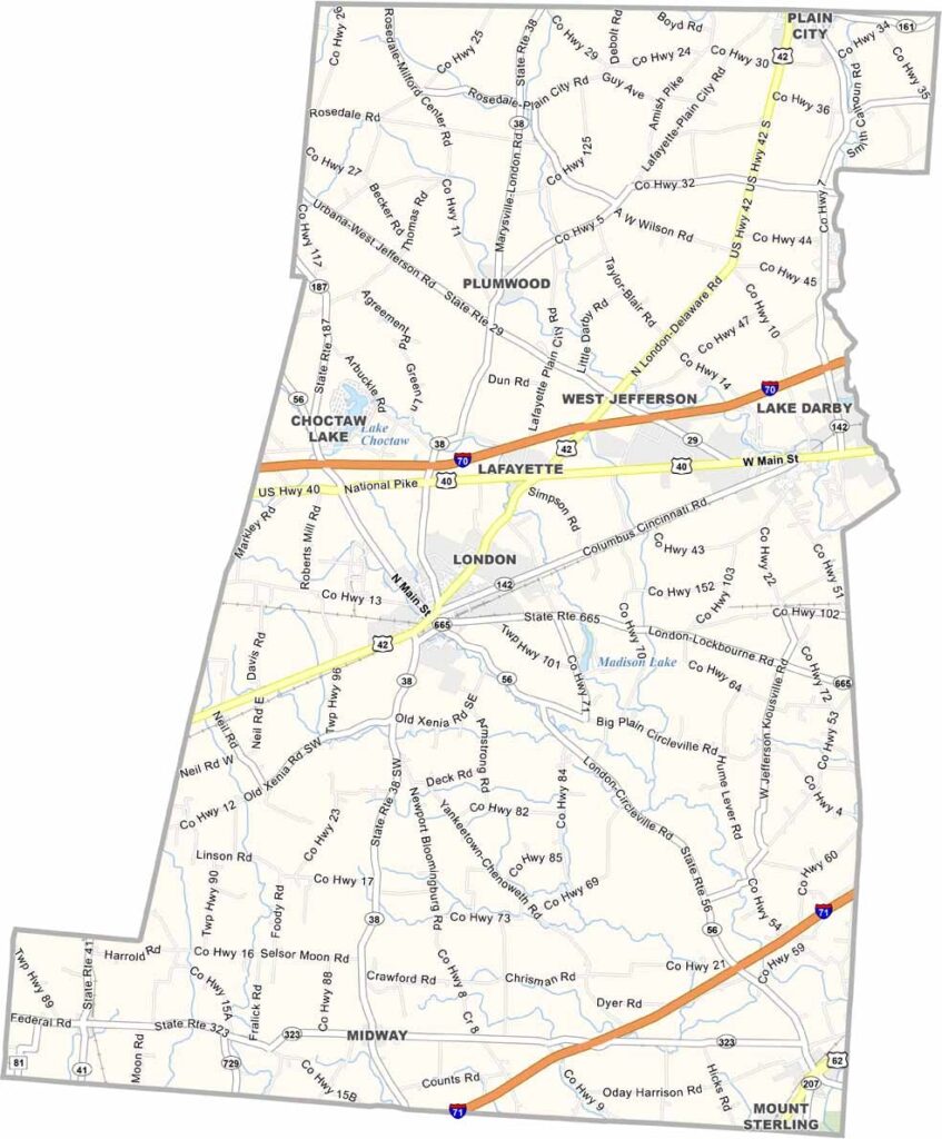
Madison County Map, Ohio

Madison County, Ohio

Madison County sits right in the heart of Ohio. Yep, it’s farm country here, with miles of cornfields and soybean fields. The county is sandwiched between Columbus to the east and Dayton to the west.

The Ohio to Erie Trail cuts right through the county, which makes it perfect for cyclists and hikers. Visitors will love exploring the covered bridges, some of which date back to the 1800s.

London, the county seat, has a nice small-town vibe, and Interstate 70 and Interstate 71 cut right through for easy access. Friendly folks. Mom-and-pop shops. This is the Midwest for you.
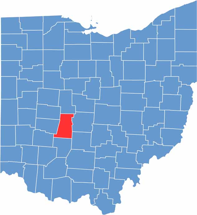

Madison County location map of Ohio
CategoryDetails
County NameMadison County
County SeatLondon
EtymologyNamed in honor of James Madison, U.S. President
Cities, Towns, and CommunitiesLondon, West Jefferson, Mount Sterling, Plain City
Interstates and HighwaysU.S. Highway 42, U.S. Highway 62, State Route 38
FIPS Code39-097
Total Area463 square miles (land and water)
Adjacent CountiesUnion County (North), Franklin County (East), Pickaway County (Southeast), Fayette County (South), Greene County (Southwest), Clark County (West), Champaign County (Northwest)
Time ZoneEastern Time Zone
StateOhio
Coordinates39.8833° N, 83.4539° W
Major LandmarksMadison County Historical Society Museum, London Downtown Historic District
PopulationApproximately 45,000
Scroll to Top