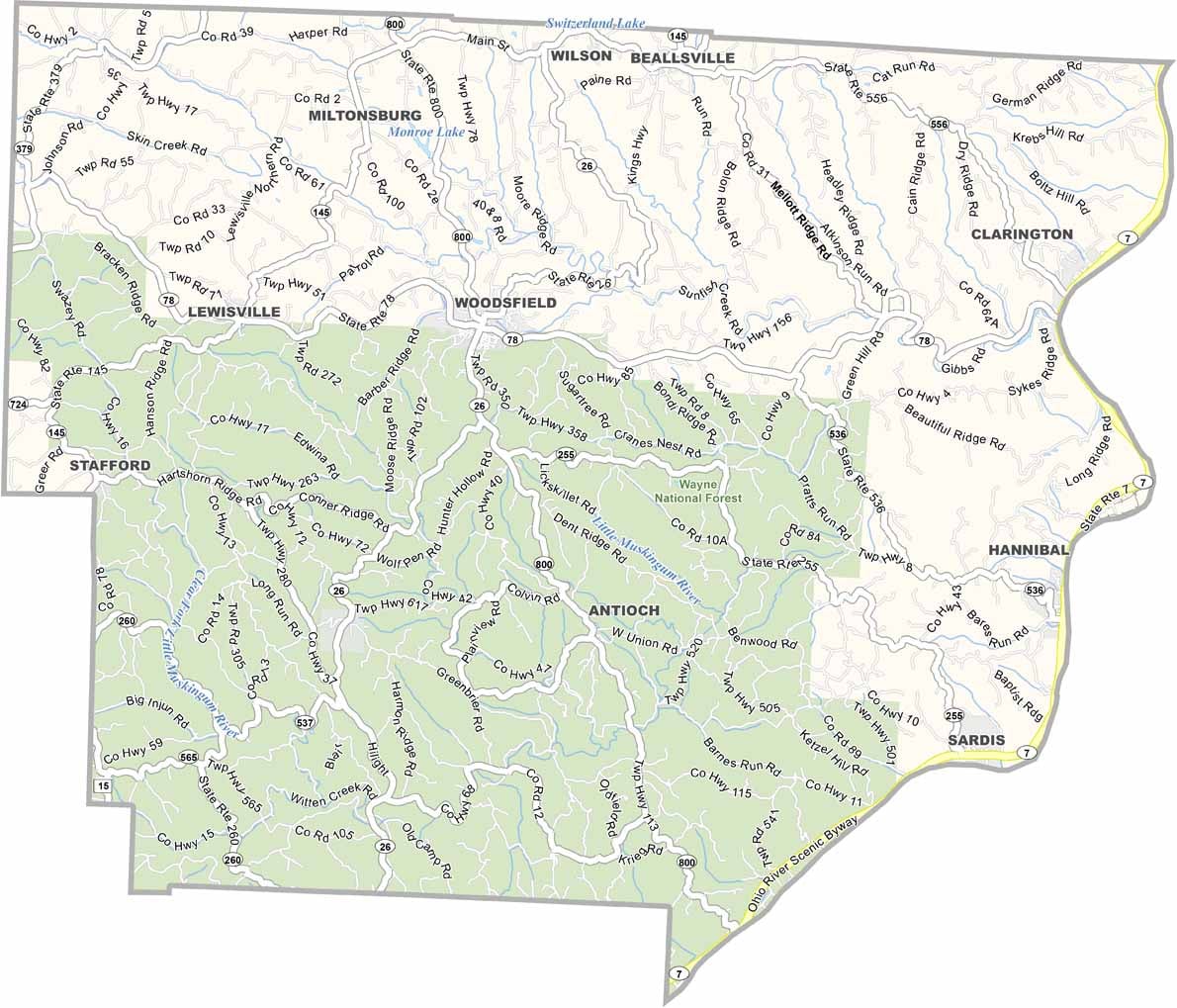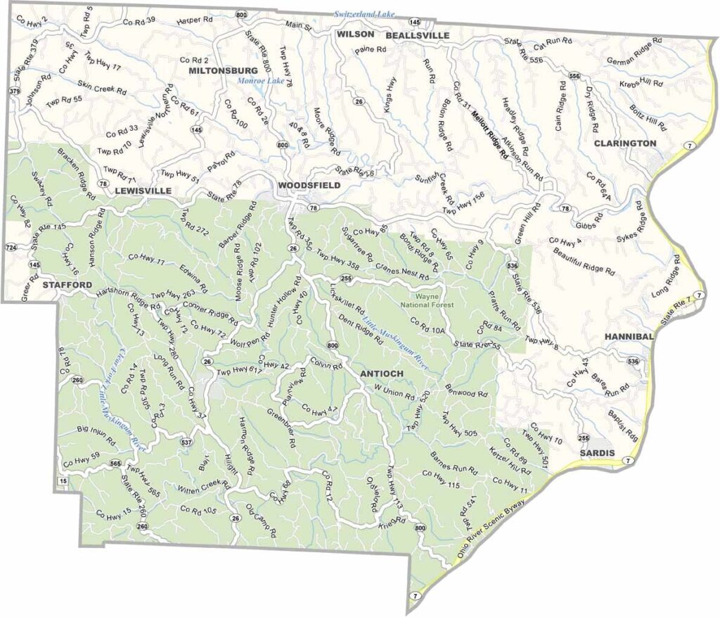
Monroe County Map, Ohio

Monroe County, Ohio

Monroe County sits in eastern Ohio, next to West Virginia, with the Ohio River forming its eastern border. It’s a place where Appalachian culture thrives, and there’s a strong sense of community throughout the county.

Small towns are everywhere, with Woodsfield as the county seat. Oil and gas have played big roles in the local economy, and the county’s history goes back to 1813.

You’ll find lots of scenic backroads here, perfect for a leisurely drive. Wayne National Forest covers the southwest of the county, and anyone who loves the outdoors will enjoy it.
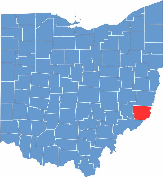

Monroe County location map of Ohio
CategoryDetails
County NameMonroe County
County SeatWoodsfield
EtymologyNamed after former U.S. President James Monroe
Cities, Towns, and CommunitiesWoodsfield, Beallsville, Barnesville, Lewisville
Interstates and HighwaysState Route 7, State Route 78, State Route 800
FIPS Code39-111
Total Area457 square miles (land and water)
Adjacent CountiesBelmont County (North), Marshall County, West Virginia (Northeast), Wetzel County, West Virginia (East), Tyler County, West Virginia (Southeast), Washington County (South), Noble County (West)
Time ZoneEastern Time Zone
StateOhio
Coordinates39.6496° N, 81.1135° W
Major LandmarksMonroe County Fairgrounds, Rambo’s Run State Nature Preserve
PopulationApproximately 13,000
Scroll to Top