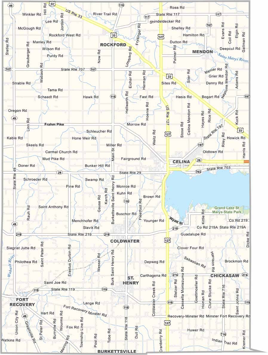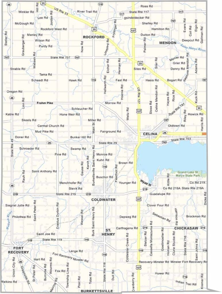
Mercer County Map, Ohio

Mercer County, Ohio

Mercer County sits right on the Indiana border and is as flat as a pancake, with farming dominating the landscape. The county is named after Hugh Mercer, a general in the Revolutionary War.

Grand Lake St. Marys State Park holds Ohio’s largest inland lake, and Celina, the county seat, sits on its shores. The area has 52 miles of shoreline, great for camping, boating, and fishing.

Manufacturing plays a big role in the local economy, and there’s a strong German heritage here that you can taste in the local cuisine. The county fair is a highlight of the summer, and community ties run deep in Mercer County.
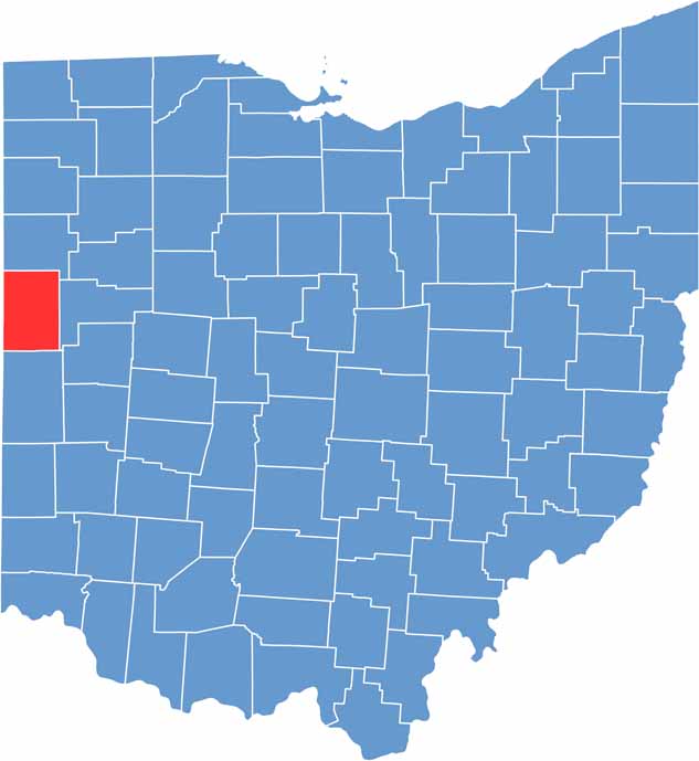

Mercer County location map of Ohio
CategoryDetails
County NameMercer County
County SeatCelina
EtymologyNamed after Hugh Mercer, a general in the Revolutionary War
Cities, Towns, and CommunitiesCelina, St. Henry, Fort Recovery, Mendon
Interstates and HighwaysU.S. Highway 127, State Route 29, State Route 118
FIPS Code39-107
Total Area476 square miles (land and water)
Adjacent CountiesAdams County, Indiana (Northwest), Van Wert County (North), Auglaize County (East), Shelby County (Southeast), Darke County (South), Jay County, Indiana (Southwest)
Time ZoneEastern Time Zone
StateOhio
Coordinates40.5455° N, 84.5782° W
Major LandmarksMercer County Historical Museum, Grand Lake St. Marys
PopulationApproximately 43,000
Scroll to Top