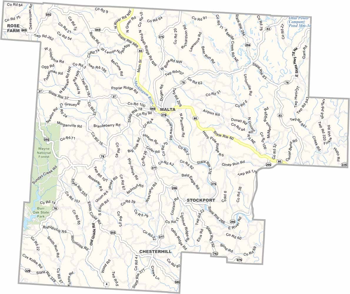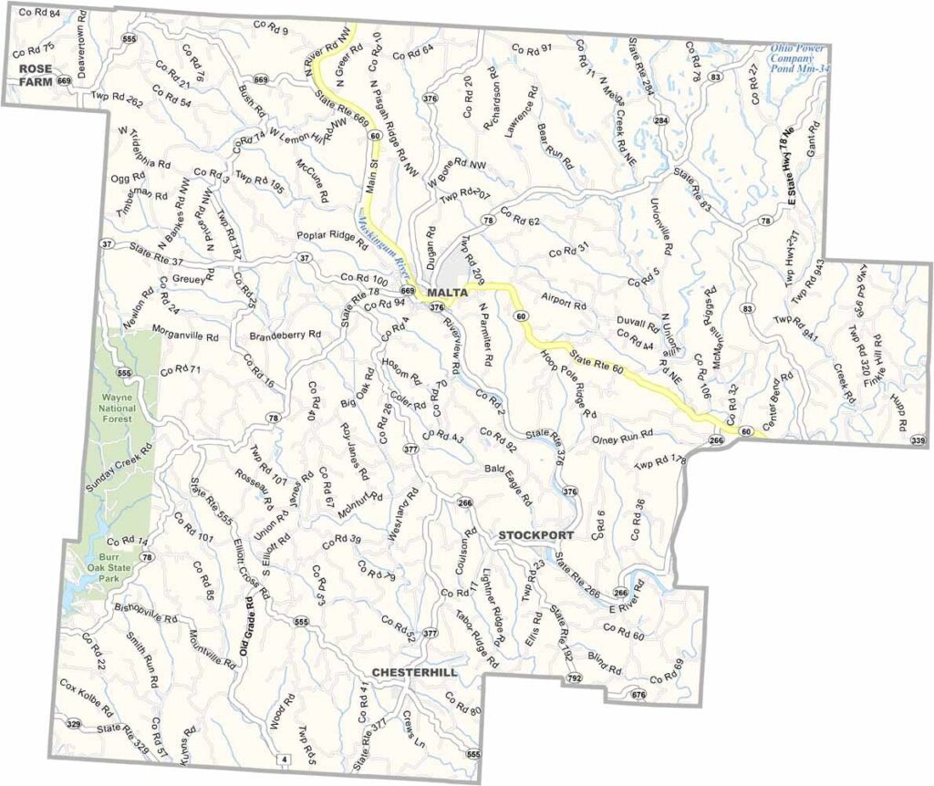
Morgan County Map, Ohio

Morgan County, Ohio

Morgan County sits in the southeastern part of Ohio. It’s rural. Really rural. The Muskingum River winds through the area, and McConnelsville, the county seat, lies north of Malta.

Farming is big here, and so is tourism. People come for the outdoors, and Burr Oak State Park in the western region is a major draw, with camping, fishing, and hiking.

The county’s history goes back to the early 1800s. Community ties run deep in Morgan County, and folks here are proud of their Appalachian heritage.
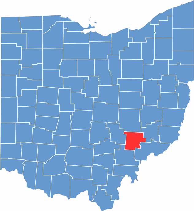

Morgan County location map of Ohio
CategoryDetails
County NameMorgan County
County SeatMcConnelsville
EtymologyNamed after General Daniel Morgan, a Revolutionary War officer
Cities, Towns, and CommunitiesMcConnelsville, Malta, Stockport, Chesterhill
Interstates and HighwaysState Route 60, State Route 78, State Route 376
FIPS Code39-115
Total Area425 square miles (land and water)
Adjacent CountiesMuskingum County (North), Noble County (Northeast), Washington County (Southeast), Athens County (Southwest), Perry County (West)
Time ZoneEastern Time Zone
StateOhio
Coordinates39.5531° N, 81.8633° W
Major LandmarksBurr Oak State Park, Morgan County Historical Society
PopulationApproximately 15,000
Scroll to Top