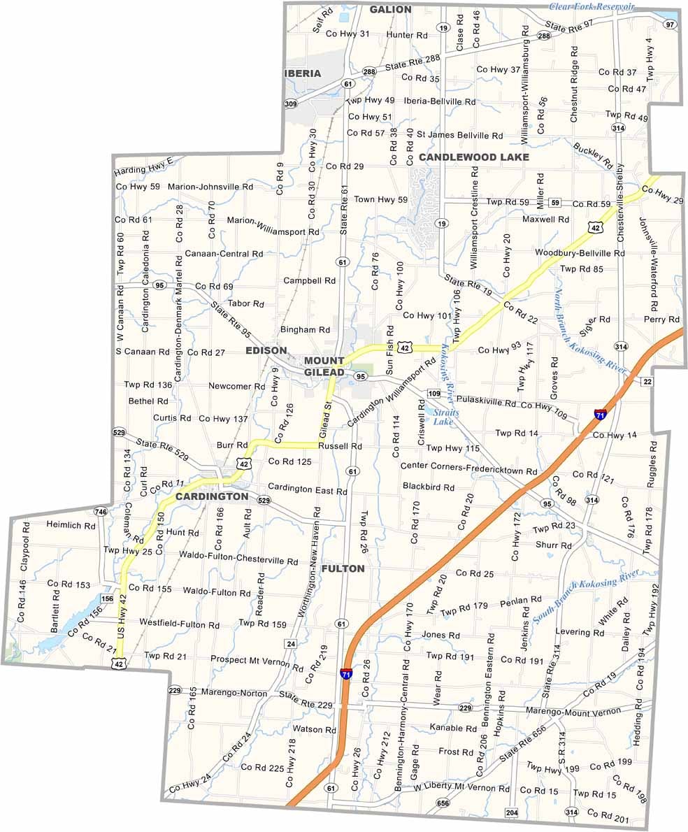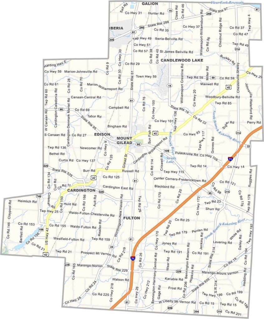
Morrow County Map, Ohio

Morrow County, Ohio

Morrow County sits in north-central Ohio and is mostly rural. Mount Gilead is the county seat, and farming dominates the landscape.

The county has an interesting mix of Amish and English communities, and you’ll see horse-drawn buggies on the roads. There’s a strong sense of tradition here.

The county fair is a big deal every summer because it brings everyone together. Morrow County has managed to keep its small-town charm, where people know their neighbors and the pace of life is a bit slower.
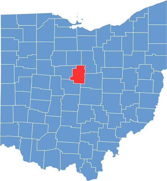

Morrow County location map of Ohio
CategoryDetails
County NameMorrow County
County SeatMount Gilead
EtymologyNamed after Jeremiah Morrow, Governor of Ohio
Cities, Towns, and CommunitiesMount Gilead, Cardington, Sparta, Edison
Interstates and HighwaysU.S. Highway 42, State Route 61, State Route 95
FIPS Code39-117
Total Area407 square miles (land and water)
Adjacent CountiesCrawford County (North), Richland County (Northeast), Knox County (Southeast), Delaware County (Southwest), Marion County (West)
Time ZoneEastern Time Zone
StateOhio
Coordinates40.5690° N, 82.5524° W
Major LandmarksMorrow County Historical Society, Mount Gilead State Park
PopulationApproximately 36,000
Scroll to Top