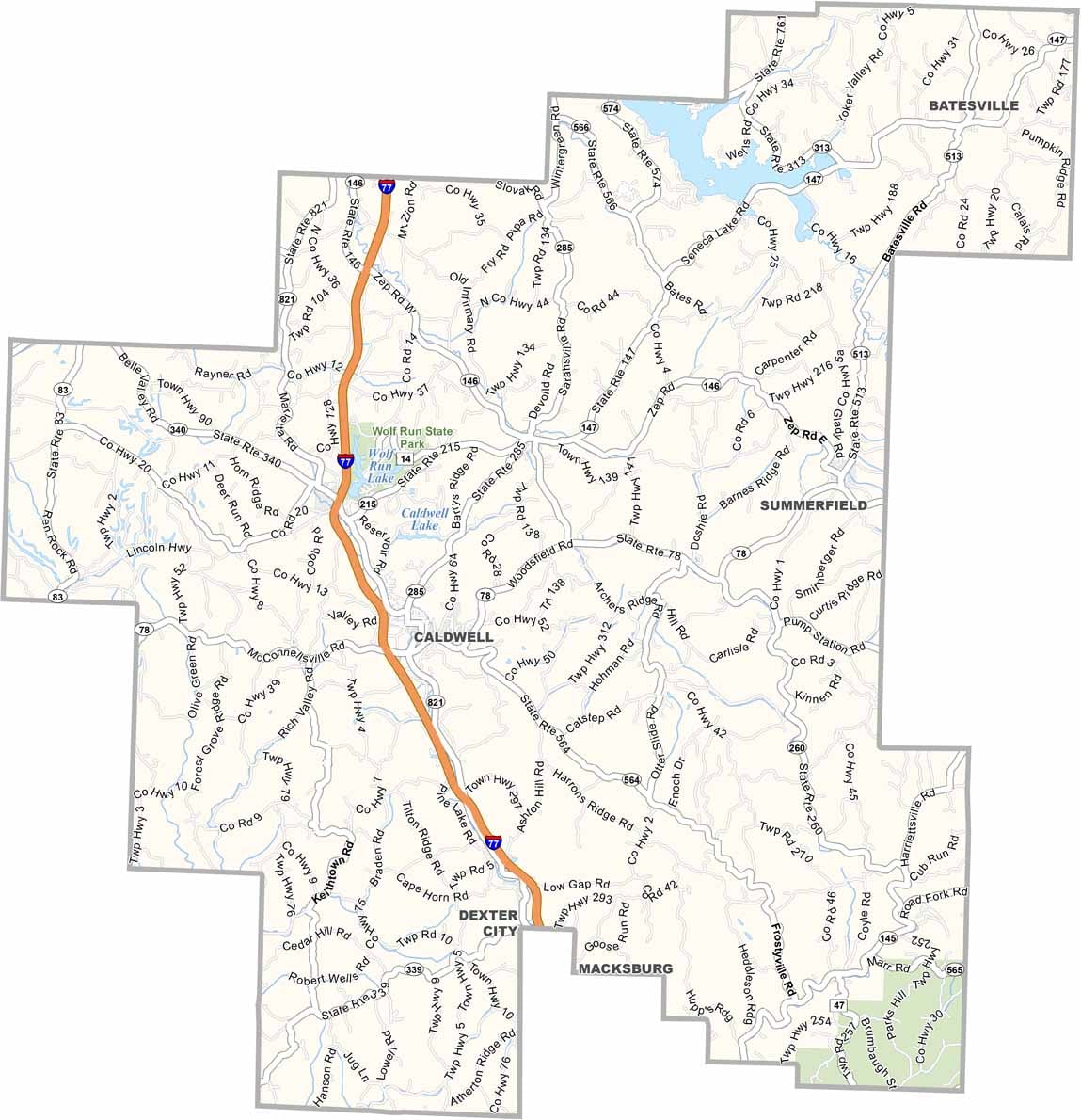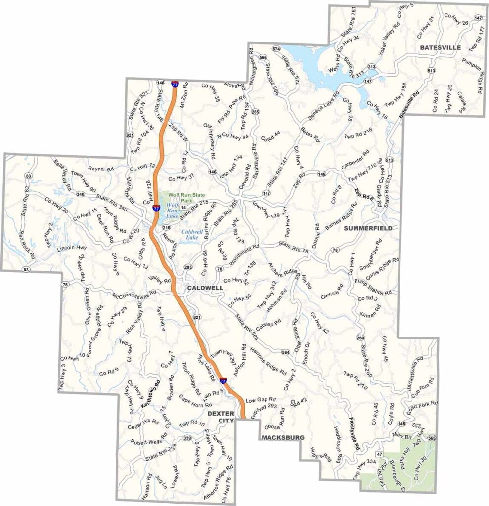
Noble County Map, Ohio

Noble County, Ohio

Noble County is in southeastern Ohio, and it’s rural. Really rural. Caldwell, the county seat, has a population of just over 2,000. The county is named after James Noble, an early settler.

Oil and gas have played big roles in the local economy. You’ll find lots of rolling hills here, and it’s beautiful country. Farming is still important to the area.

Wolf Run State Park is a popular spot for anyone who loves the outdoors. Community ties run deep in Noble County, and people here value their peace and quiet.
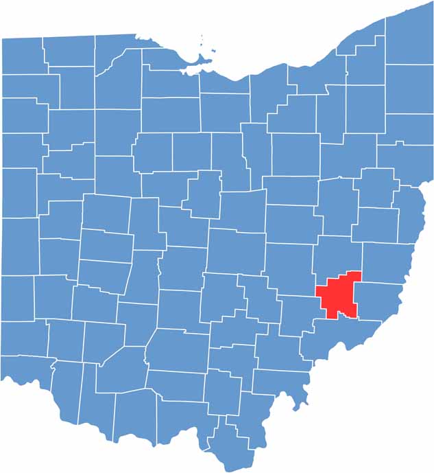

Noble County location map of Ohio
CategoryDetails
County NameNoble County
County SeatCaldwell
EtymologyNamed after James Noble, an early settler in the area
Cities, Towns, and CommunitiesCaldwell, Belle Valley, Sarahsville, Quaker City
Interstates and HighwaysState Route 78, State Route 145, State Route 285
FIPS Code39-121
Total Area399 square miles (land and water)
Adjacent CountiesGuernsey County (North), Belmont County (Northeast), Monroe County (East), Washington County (South), Morgan County (West), Muskingum County (Northwest)
Time ZoneEastern Time Zone
StateOhio
Coordinates39.7471° N, 81.5503° W
Major LandmarksNoble County Fairgrounds, Wolf Run State Park
PopulationApproximately 15,000
Scroll to Top