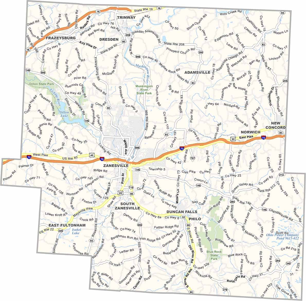
Muskingum County Map, Ohio

Muskingum County, Ohio

Muskingum County is home to a central Ohio mix of history, industry, and river scenery. Zanesville, the county seat, is known for its Y-Bridge, a local landmark. The county has a rich history in pottery and glass-making, and you can still see that influence today.

The Wilds is a safari park and conservation center, and it’s massive, making it a major attraction here. The Muskingum River offers great opportunities for boating and fishing.

John Glenn, the astronaut and senator, was born near here, and people are proud of that connection. The county blends rural and urban areas, with a mix of industries. Community spirit is strong in Muskingum County.
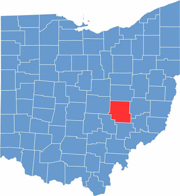

Muskingum County location map of Ohio
CategoryDetails
County NameMuskingum County
County SeatZanesville
EtymologyNamed after an Indian word meaning “A town by the river” or “by the river side”
Cities, Towns, and CommunitiesZanesville, New Concord, Dresden, Frazeysburg
Interstates and HighwaysInterstate 70, U.S. Highway 22, State Route 60
FIPS Code39-119
Total Area664 square miles (land and water)
Adjacent CountiesCoshocton County (North), Guernsey County (East), Noble County (Southeast), Morgan County (South), Perry County (Southwest), Licking County (West)
Time ZoneEastern Time Zone
StateOhio
Coordinates39.9468° N, 82.0104° W
Major LandmarksZanesville Museum of Art, Dillon State Park
PopulationApproximately 85,000
Scroll to Top