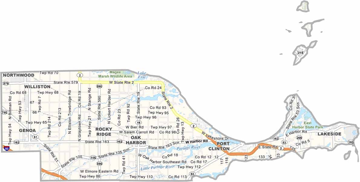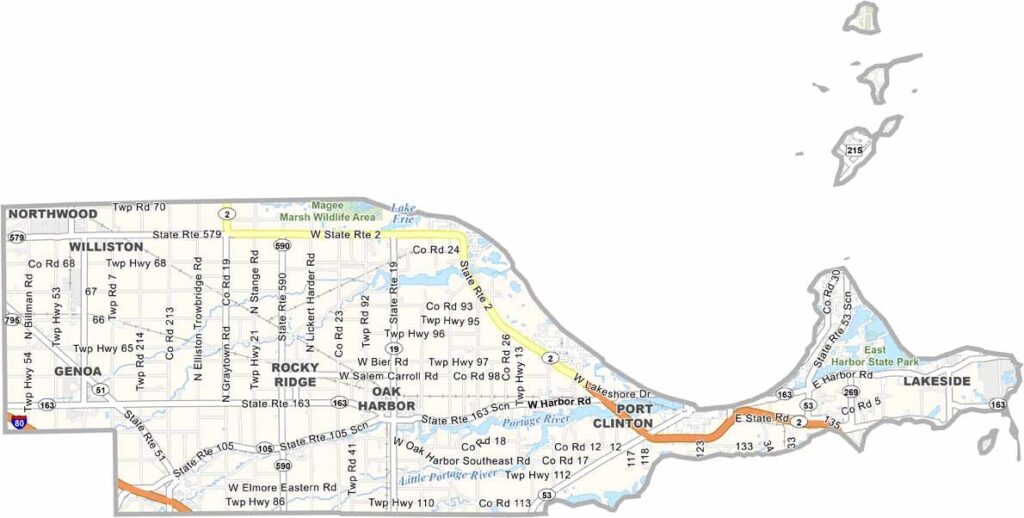
Ottawa County Map, Ohio

Ottawa County, Ohio

Ottawa County lies in northern Ohio, with Lake Erie forming its northern border. Port Clinton, the county seat, is known as the “Walleye Capital of the World.” Fishing and tourism are key to the county’s success.

Put-in-Bay on South Bass Island is a major summer destination. The county has a rich history tied to the War of 1812, and Perry’s Victory and International Peace Memorial commemorates a key naval battle.

Agriculture is important too, and you’ll see lots of orchards. The Lake Erie islands are part of Ottawa County, and Marblehead Lighthouse is the oldest continuously operating lighthouse on the Great Lakes.
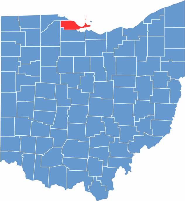

Ottawa County location map of Ohio
CategoryDetails
County NameOttawa County
County SeatPort Clinton
EtymologyNamed for the Ottawa Indians who inhabited the area
Cities, Towns, and CommunitiesPort Clinton, Oak Harbor, Elmore, Put-in-Bay
Interstates and HighwaysState Route 2, State Route 53, State Route 163
FIPS Code39-123
Total Area586 square miles (land and water)
Adjacent CountiesErie County (Southeast), Sandusky County (South), Wood County (West), Lucas County (Northwest)
Time ZoneEastern Time Zone
StateOhio
Coordinates41.5236° N, 83.1292° W
Major LandmarksPut-in-Bay, Catawba Island, Ottawa National Wildlife Refuge
PopulationApproximately 45,000
Scroll to Top