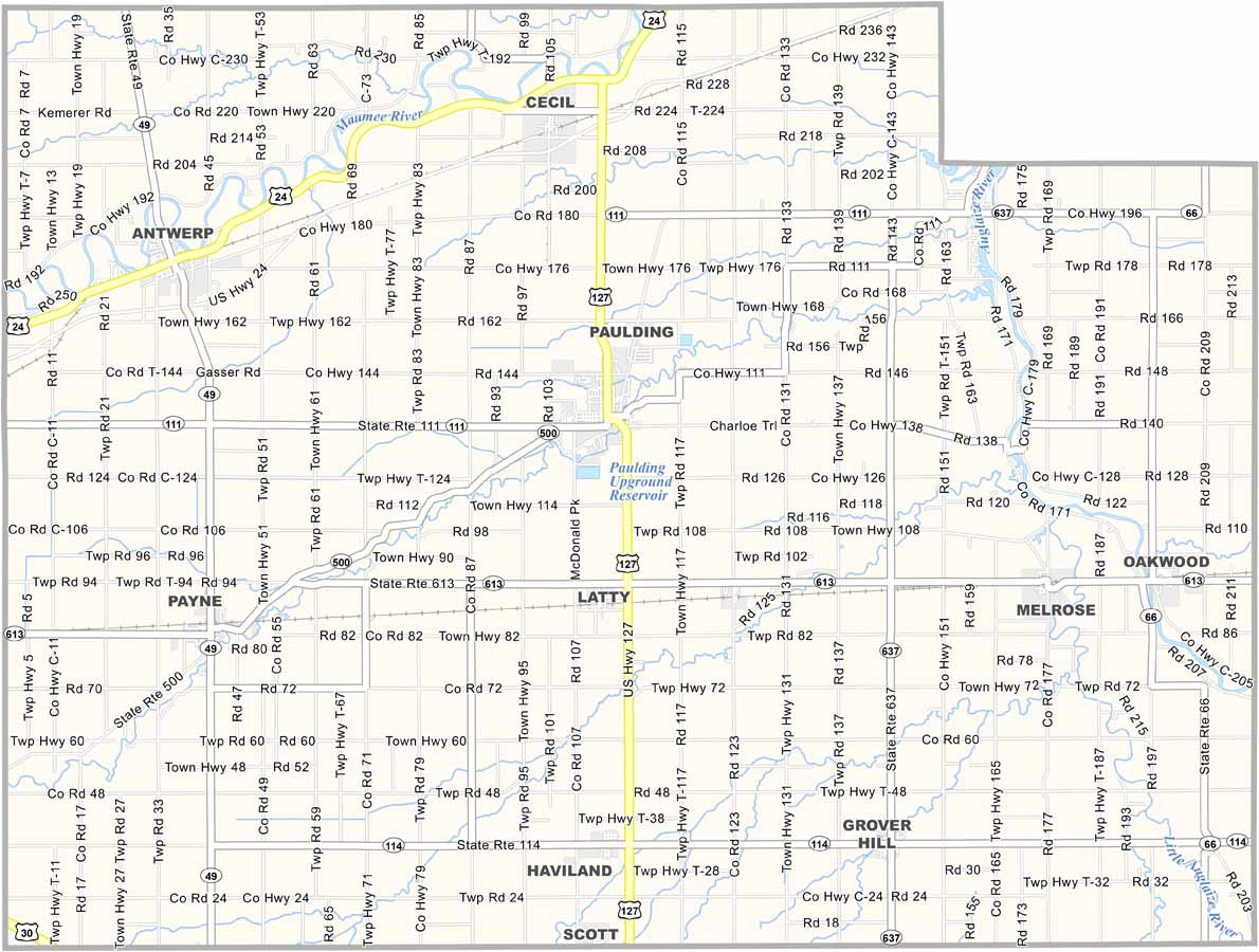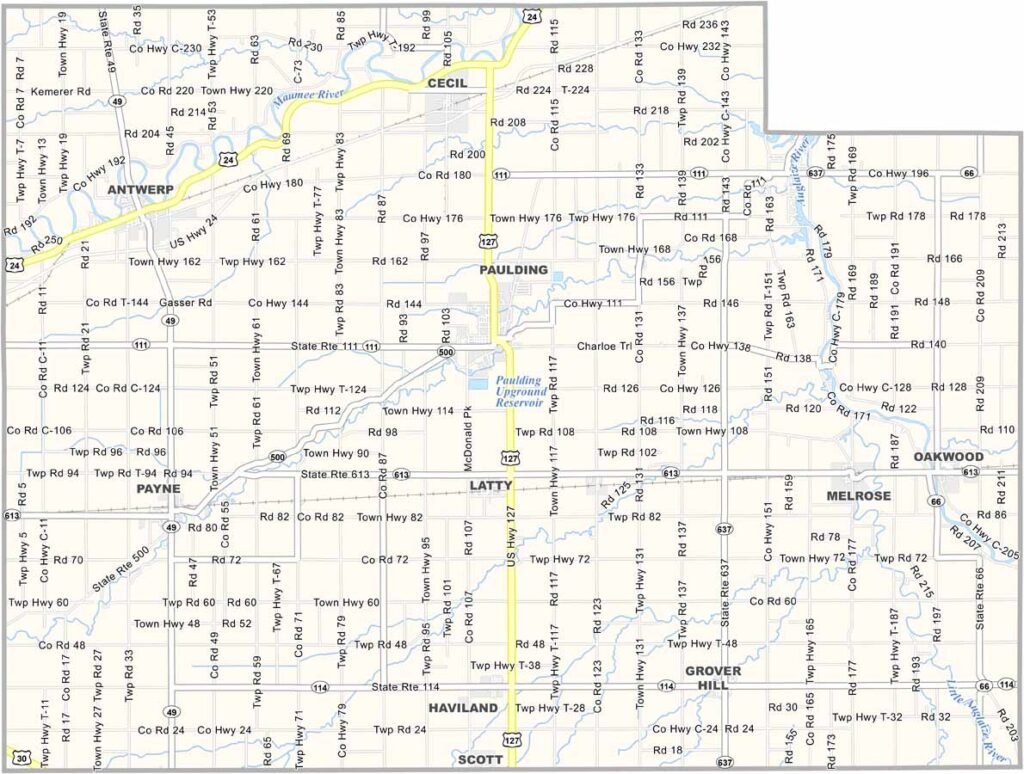
Paulding County Map, Ohio

Paulding County, Ohio

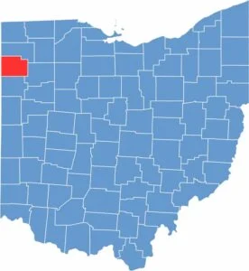
Paulding County is in western Ohio, right on the Indiana border. It’s a flat region that’s part of the Great Black Swamp, but farming dominates the landscape.

Paulding, the county seat, has a unique courthouse on the National Register of Historic Places. The county is named after John Paulding, a Revolutionary War hero.

Wind farms have become a common sight here. The Paulding County Carnegie Library is a local treasure. Community spirit is strong in this rural county of Ohio.

CategoryDetails
County NamePaulding County
County SeatPaulding
EtymologyNamed after John Paulding, a hero of the War of 1812
Cities, Towns, and CommunitiesPaulding, Antwerp, Payne, Grover Hill
Interstates and HighwaysU.S. Highway 24, State Route 111, State Route 49
FIPS Code39-125
Total Area416 square miles (land and water)
Adjacent CountiesDefiance County (North), Putnam County (East), Van Wert County (South), Allen County, Indiana (West)
Time ZoneEastern Time Zone
StateOhio
Coordinates41.1513° N, 84.3630° W
Major LandmarksPaulding County Historical Society Museum, Antwerp Historical Society
PopulationApproximately 18,000
Scroll to Top