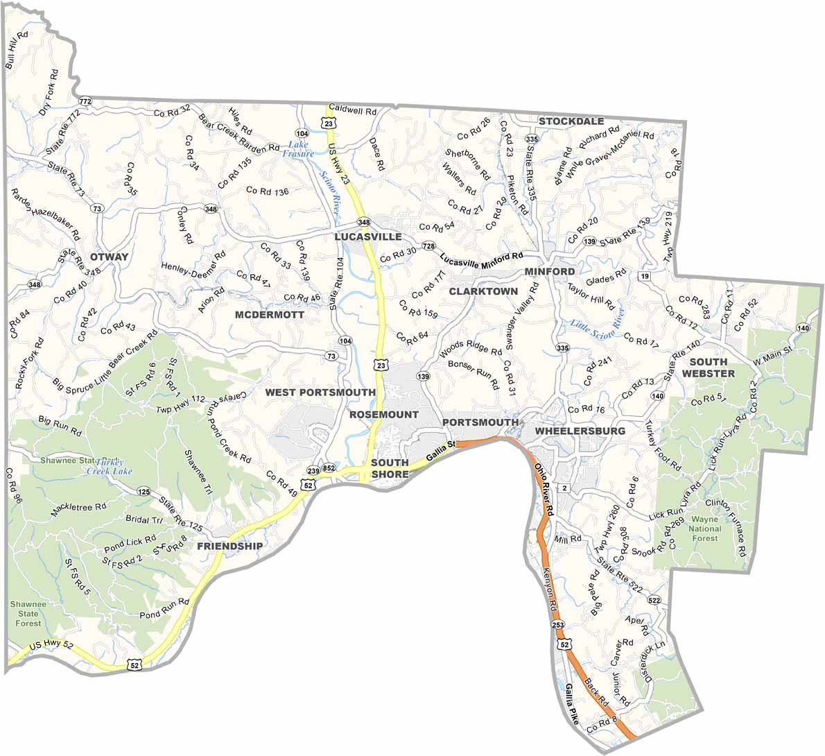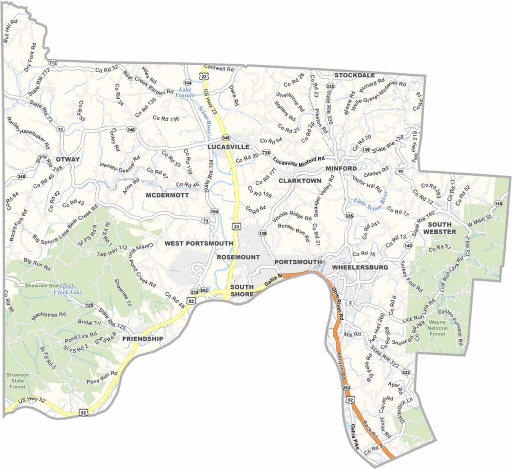
Scioto County Map, Ohio

Scioto County, Ohio

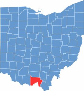
Scioto County is located in south-central Ohio, bordering Kentucky. The area is known for its natural beauty and is popular for hiking, camping, and enjoying the scenic foothills of the Appalachian Mountains.

Portsmouth, the county seat, has faced its share of challenges but is fighting back with determination. One point of pride is the floodwall murals, which beautifully tell the county’s history.

Nature lovers flock to Shawnee State Forest, which covers a portion of the county. Also don’t forget about the Ohio River, which forms the southern border of the county. Shawnee State University provides not only higher education opportunities but also serves as a cultural hub.

CategoryDetails
County NameScioto County
County SeatPortsmouth
EtymologyNamed after the Scioto River, which flows through the county
Cities, Towns, and CommunitiesPortsmouth, Sciotoville, Wheelersburg, Minford
Interstates and HighwaysU.S. Highway 23, U.S. Highway 52, State Route 125
FIPS Code39-145
Total Area606 square miles (land and water)
Adjacent CountiesPike County (North), Jackson County (Northeast), Lawrence County (Southeast), Greenup County, Kentucky (South), Lewis County, Kentucky (Southwest), Adams County (West)
Time ZoneEastern Time Zone
StateOhio
Coordinates38.7331° N, 82.7644° W
Major LandmarksShawnee State Forest, Portsmouth Floodwall Mural
PopulationApproximately 75,000
Scroll to Top