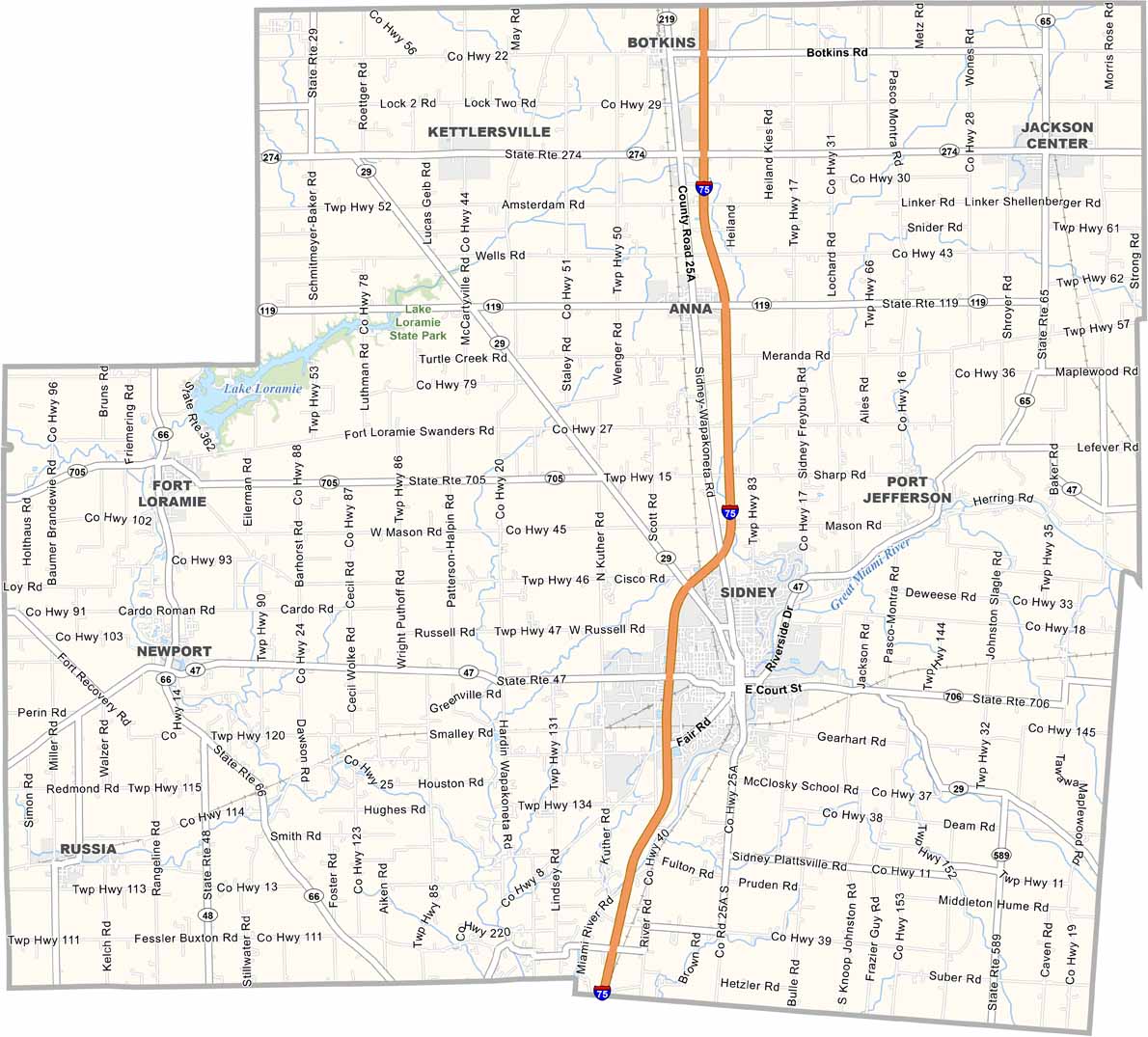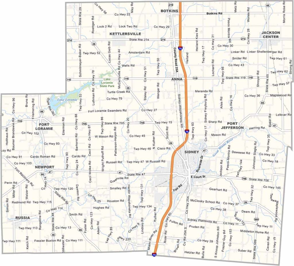
Shelby County Map, Ohio

Shelby County, Ohio

Western Ohio is home to Shelby County, with Sidney serving as the county seat. Named after Isaac Shelby, a hero of the Revolutionary War, the county is bisected by the Great Miami River.

Agriculture blankets the landscape, with corn and soybeans as major crops. But manufacturing is also important, and Honda has a significant plant nearby.

The county is known for its picturesque covered bridges. Sidney’s downtown area showcases historic buildings, like the iconic Shelby County Courthouse.
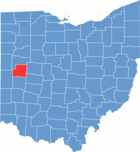

Shelby County location map of Ohio
CategoryDetails
County NameShelby County
County SeatSidney
EtymologyNamed after General Isaac Shelby, a Revolutionary War officer and Governor of Kentucky
Cities, Towns, and CommunitiesSidney, Anna, Botkins, Fort Loramie
Interstates and HighwaysU.S. Highway 36, U.S. Highway 67, State Route 47
FIPS Code39-149
Total Area414 square miles (land and water)
Adjacent CountiesAuglaize County (North), Logan County (East), Champaign County (Southeast), Miami County (South), Darke County (West), Mercer County (Northwest)
Time ZoneEastern Time Zone
StateOhio
Coordinates40.2942° N, 84.1786° W
Major LandmarksSidney Downtown Historic District, Tawawa Park
PopulationApproximately 50,000
Scroll to Top