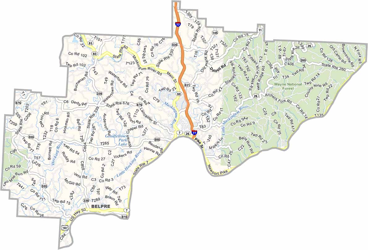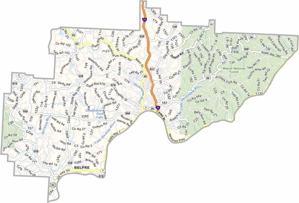
Washington County Map, Ohio

Washington County, Ohio

Washington County is where Ohio’s history began. Marietta serves as the county seat and was the first permanent settlement in the Northwest Territory.

The rivers have shaped the county’s past and present. Riverboats and barges are still common sights, while the Ohio River forms the eastern border along West Virginia.

The Ohio River Islands National Wildlife Refuge is also located here, offering a great spot for nature lovers. Washington County’s combination of history and natural beauty gives it a unique character. It’s a place where the past and present come together.
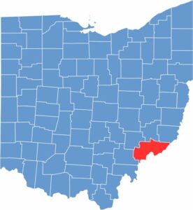

Washington County location map of Ohio
CategoryDetails
County NameWashington County
County SeatMarietta
EtymologyNamed after George Washington, first President of the United States
Cities, Towns, and CommunitiesMarietta, Belpre, Beverly, Waterford
Interstates and HighwaysInterstate 77, U.S. Highway 50, State Route 7
FIPS Code39-167
Total Area637 square miles (land and water)
Adjacent CountiesNoble County (North), Monroe County (Northeast), Tyler County, West Virginia (East), Pleasants County, West Virginia (Southeast), Wood County, West Virginia (South), Athens County (Southwest), Morgan County (Northwest)
Time ZoneEastern Time Zone
StateOhio
Coordinates39.4170° N, 81.4544° W
Major LandmarksCampus Martius Museum, Blennerhassett Island Historical State Park
PopulationApproximately 60,000
Scroll to Top