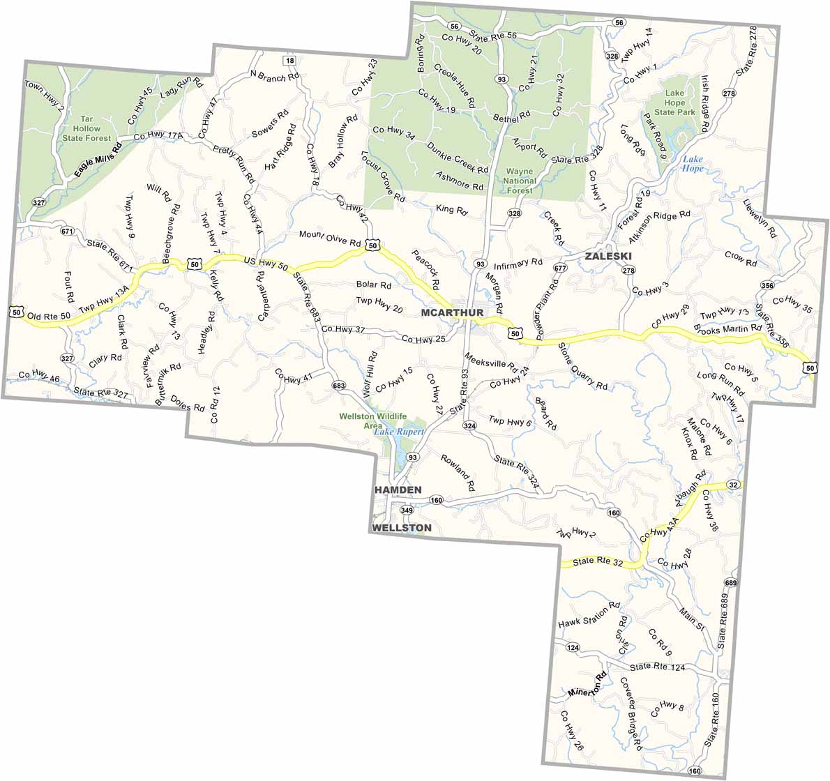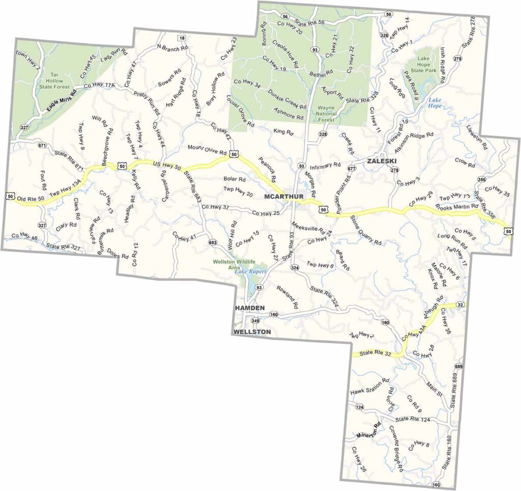
Vinton County Map, Ohio

Vinton County, Ohio

Vinton County lies in the rugged hills of southeastern Ohio. It’s the least populous county in the state, but what it lacks in people, it makes up for with natural beauty. McArthur serves as the county seat and sits near the center.

Tar Hollow State Forest and Wayne National Forest cover a large portion of the area. Outdoor enthusiasts are drawn here for hiking, hunting, and fishing.

The county has a rich history of coal mining and logging. Today, tourism is becoming increasingly important. The annual Wild Turkey Festival attracts visitors from across the region. Vinton County is an ideal place to get away from it all.
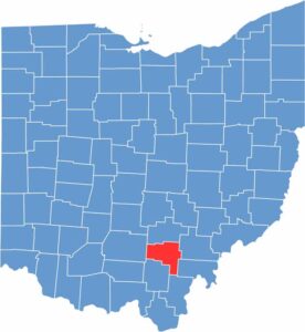

Vinton County location map of Ohio
CategoryDetails
County NameVinton County
County SeatMcArthur
EtymologyNamed after Samuel Finley Vinton, Ohio Statesman and U.S. Congressman
Cities, Towns, and CommunitiesMcArthur, Hamden, Zaleski, Wilkesville
Interstates and HighwaysU.S. Highway 50, State Route 93, State Route 32
FIPS Code39-163
Total Area416 square miles (land and water)
Adjacent CountiesHocking County (North), Athens County (Northeast), Meigs County (East), Gallia County (Southeast), Jackson County (South), Ross County (West)
Time ZoneEastern Time Zone
StateOhio
Coordinates39.1947° N, 82.4315° W
Major LandmarksVinton County Courthouse, Zaleski State Forest
PopulationApproximately 13,000
Scroll to Top