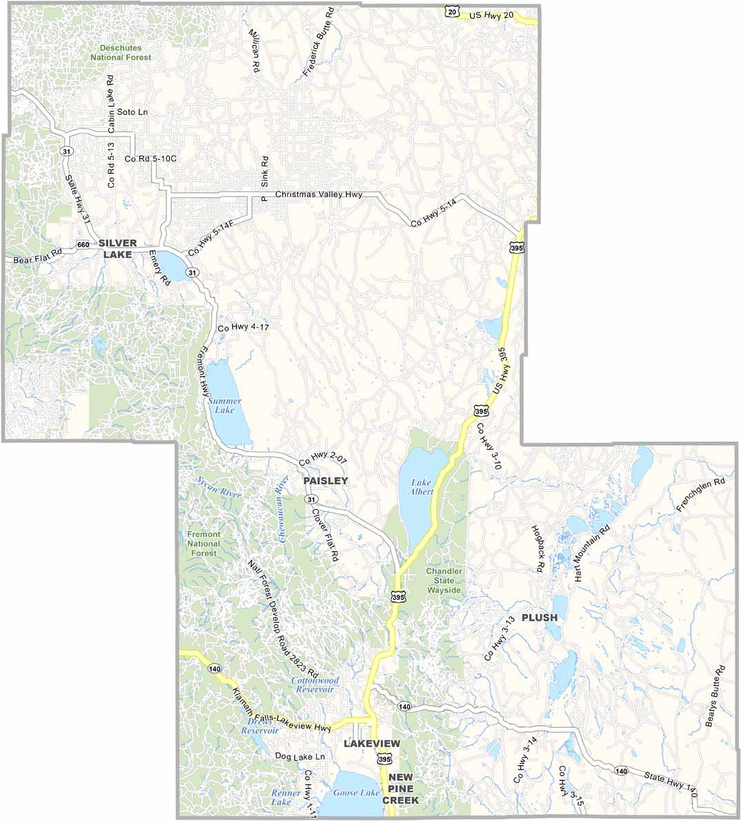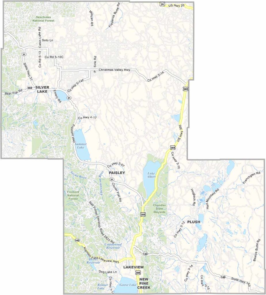
Lake County Map, Oregon

Lake County, Oregon

Lake County is where you go if you want remote. The night sky puts on a show like nowhere else, and city life feels a world away. It is vast, empty, and beautiful, with sizzling summers and biting winters that locals wouldn't trade for anything.

The Outback Scenic Byway cuts through the county, revealing a landscape that will make you feel small. Lakeview, ironically, isn't near any major lakes, though Goose Lake lies to the south, and it is Oregon's highest town.

Cattle outnumber people here, and the ranching tradition runs deep. Hart Mountain National Antelope Refuge is a haven for wildlife and solitude seekers. Lake County isn't for everyone, but for those who love wide-open spaces and zero traffic lights, it is paradise.
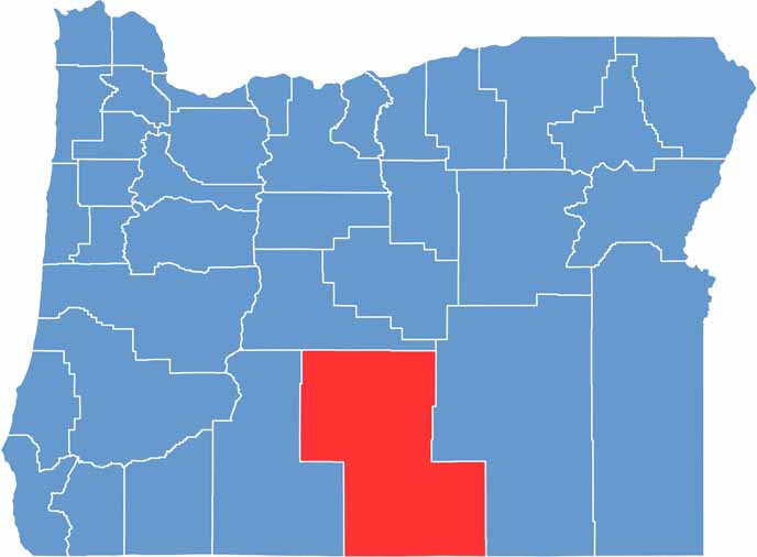

Location map of Lake County, Oregon
CategoryDetails
County NameLake County
County SeatLakeview
EtymologyNamed after the numerous lakes in the area
Cities, Towns, and CommunitiesLakeview, Paisley, Christmas Valley, Silver Lake, Fort Rock
Interstates and HighwaysU.S. Highway 395, State Highway 31
FIPS Code41-037
Total Area (Land and Water)8,358 square miles (8,139 sq mi land, 219 sq mi water)
Adjacent Counties (and Direction)Deschutes County (North), Harney County (East), Washoe County, Nevada (South), Modoc County, California (South), Klamath County (West)
Time ZonePacific Time Zone (PST)
StateOregon
Coordinates42°11’N, 120°20’W
Major LandmarksHart Mountain National Antelope Refuge, Fort Rock State Natural Area, Summer Lake
PopulationApproximately 8,000
Scroll to Top