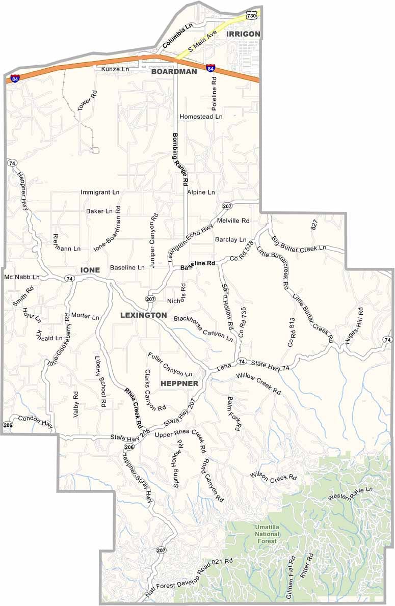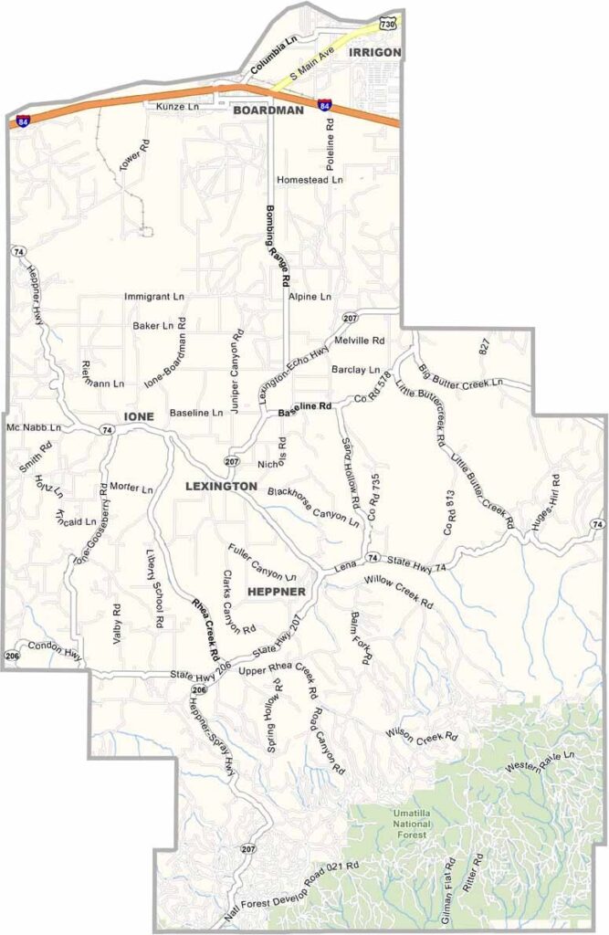
Morrow County Map, Oregon

Morrow County, Oregon

Morrow County is tucked away in the northeast corner of Oregon, where windmills spin and wheat grows on the horizon. It is where rural Oregon meets the 21st century, a place of wide-open spaces and big ideas.

The Columbia River forms the northern border and supports both agriculture and recreation. Heppner is the county seat, and wind farms are found throughout the county, turning breezes into clean, renewable energy.

The Oregon Trail passed through here, and the wagon ruts can still be seen today. Interstate 84 runs along the north, bordering the state of Washington. From rodeos to renewable energy, Morrow County is a blend of old West and new frontier.
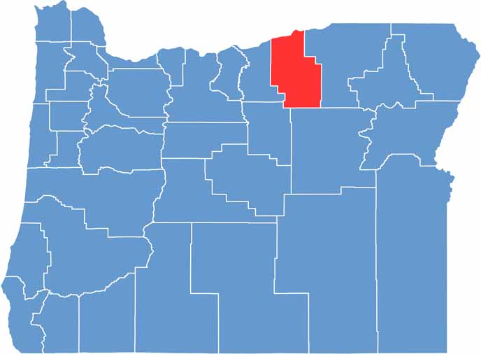

Location map of Morrow County, Oregon
CategoryDetails
County NameMorrow County
County SeatHeppner
EtymologyNamed after Jackson L. Morrow, a state legislator
Cities, Towns, and CommunitiesHeppner, Boardman, Irrigon, Lexington, Ione
Interstates and HighwaysInterstate 84, U.S. Highway 730, State Highway 74
FIPS Code41-049
Total Area (Land and Water)2,049 square miles (2,032 sq mi land, 17 sq mi water)
Adjacent Counties (and Direction)Gilliam County (West), Wheeler County (Southwest), Grant County (South), Umatilla County (East), Benton County, Washington (North), Klickitat County, Washington (Northwest)
Time ZonePacific Time Zone (PST)
StateOregon
Coordinates45°24’N, 119°34’W
Major LandmarksBlue Mountains, Willow Creek Dam, Umatilla National Wildlife Refuge
PopulationApproximately 12,000
Scroll to Top