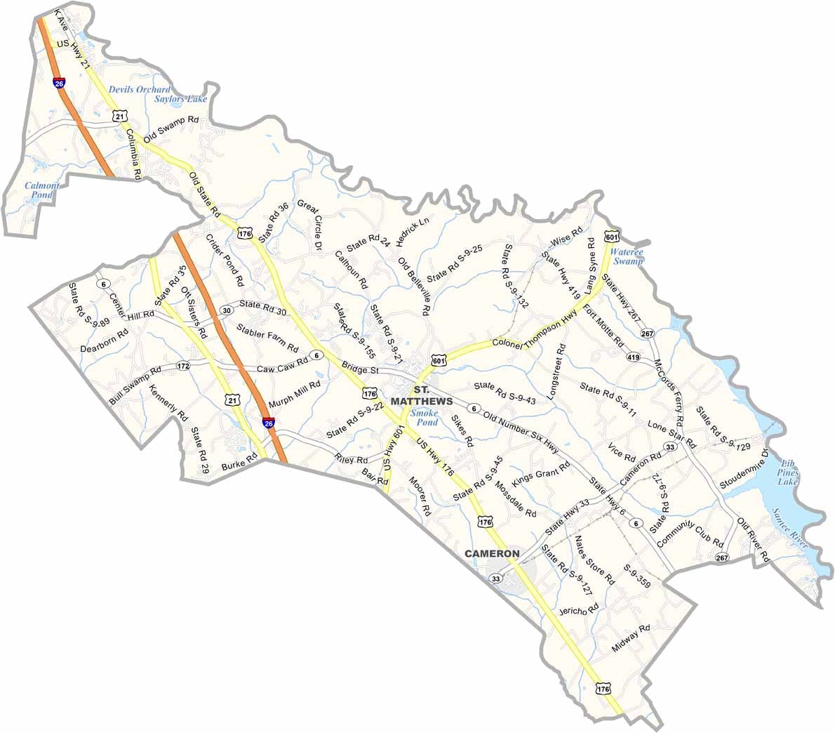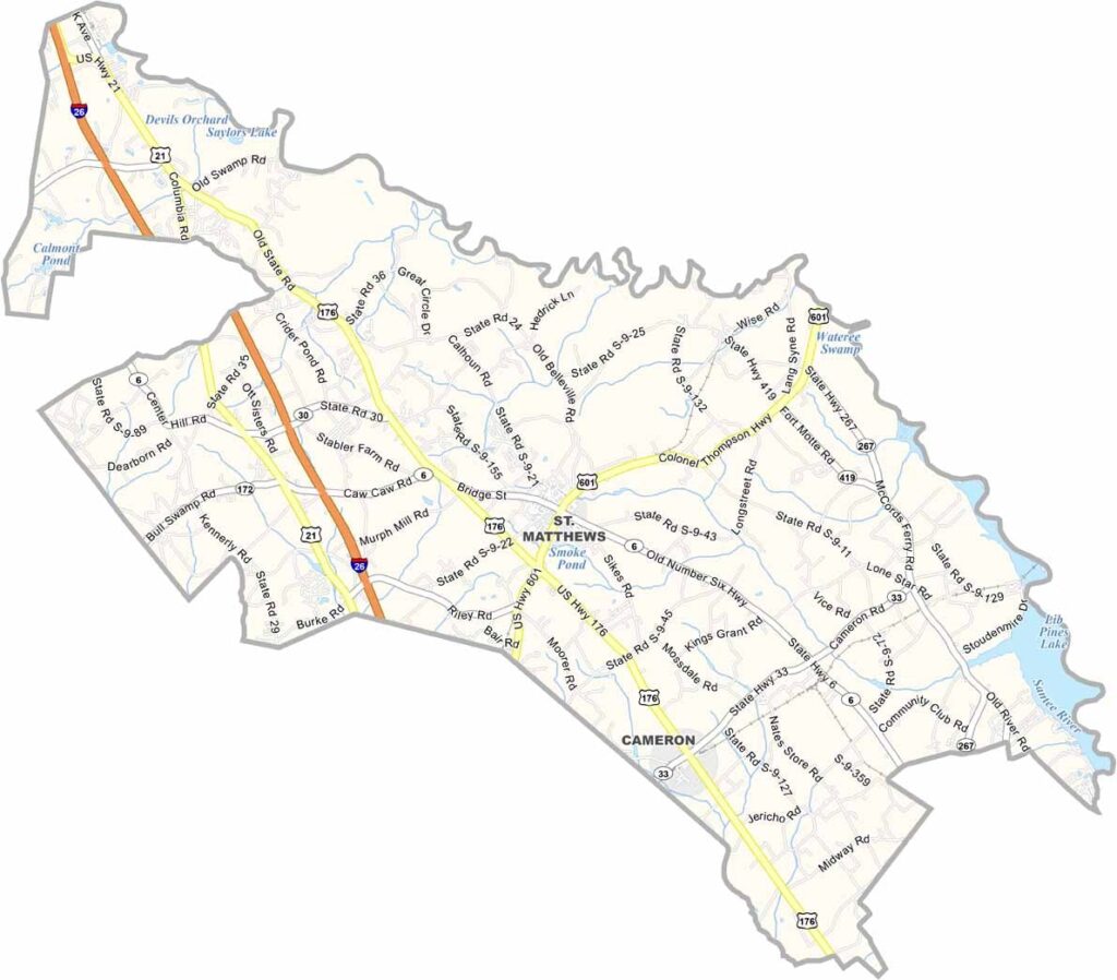
Calhoun County Map, South Carolina

Calhoun County, South Carolina

Calhoun County is right in the heart of South Carolina. St. Matthews is the county seat, with that classic small-town feel. You won’t find any big cities here. Just friendly folks and wide-open spaces.

Lake Marion and the Congaree River form its northeastern border. Both are hotspots for fishing and boating. The county’s roots run deep in agriculture. Peaches and cotton fields are a common sight.

The county is named after John C. Calhoun, a famous South Carolina statesman. Historians dig the old homes and churches scattered around. It’s quiet, sure, but that’s the charm. Calhoun County is a slice of rural South Carolina at its finest.
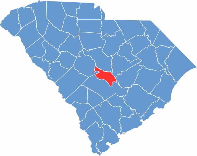

Calhoun County location map of South Carolina
CategoryDetails
County NameCalhoun County
County SeatSt. Matthews
PopulationApproximately 15,000
Cities, Towns, and CommunitiesSt. Matthews, Cameron, Sandy Run
Interstates and HighwaysInterstate 26, U.S. Highway 176, State Highway 6
FIPS Code45-017
Total Area (Land and Water)392 square miles (380 sq mi land, 12 sq mi water)
Adjacent Counties (and Direction)Richland County (North), Sumter County (Northeast), Clarendon County (East), Orangeburg County (South), Lexington County (Northwest)
Time ZoneEastern Time Zone (EST)
StateSouth Carolina
Coordinates33°39’N, 80°46’W
EtymologyNamed after John C. Calhoun, a U.S. Vice President and Senator from South Carolina
Major LandmarksCongaree National Park, Fort Motte, Calhoun Falls State Park
Scroll to Top