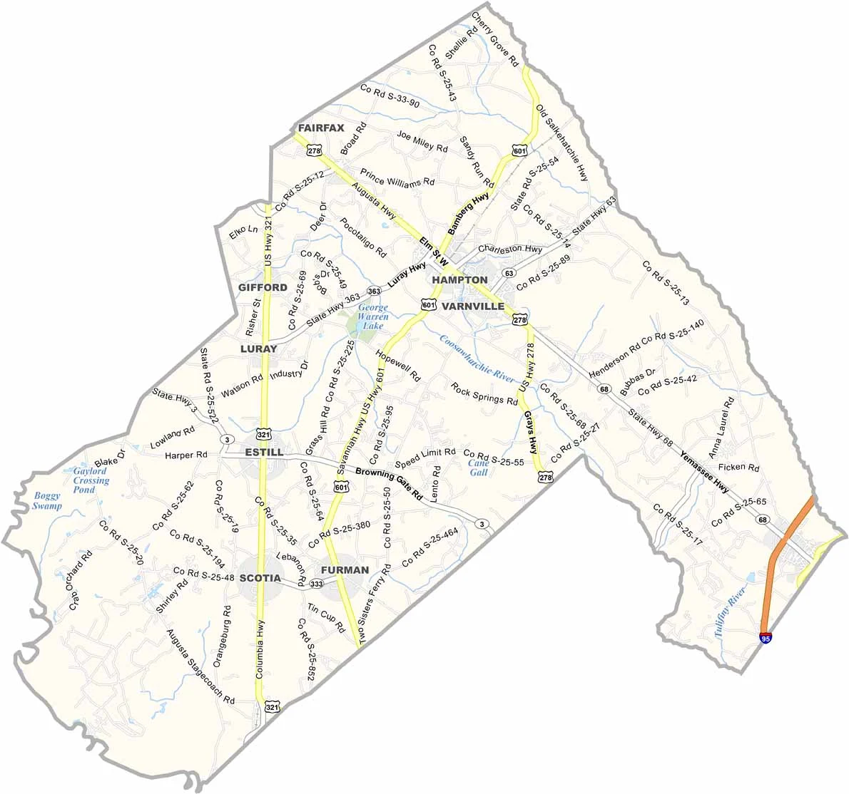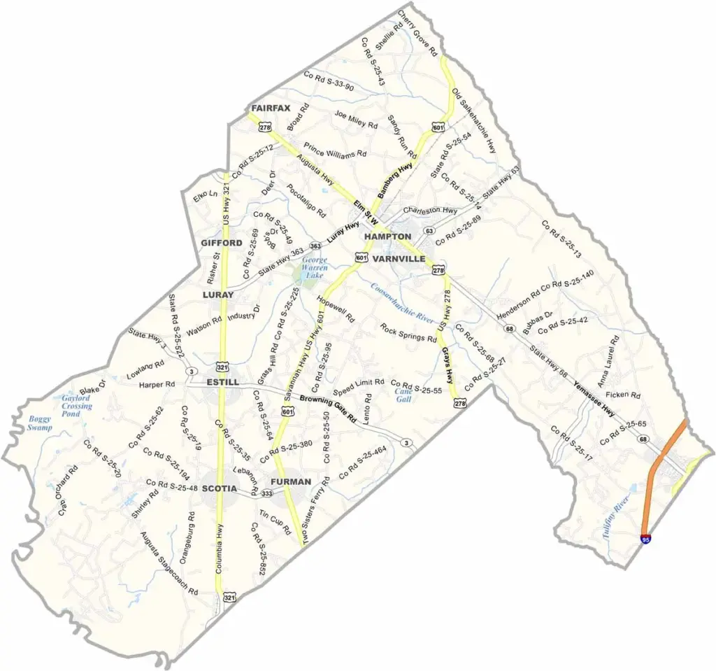
Hampton County Map, South Carolina

Hampton County, South Carolina

Hampton County is down in the Lowcountry. It is a small, rural county with a lot of character. Farming is still a big deal here, and watermelons are a major crop. In fact, the county even holds a Watermelon Festival every summer.

The county seat, Hampton, is a typical small southern town. There is not much nightlife, but the stargazing is top-notch. Lake Warren State Park is perfect for fishing and picnicking.

The Palmetto Trail runs through the county, offering great hiking and biking. Hampton County moves at its own pace. If you are looking to slow down and enjoy simple pleasures, this might be your spot.
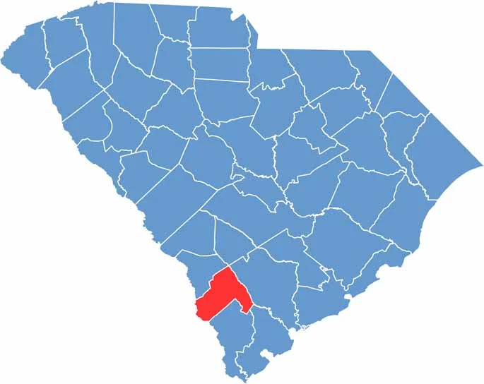

Location map of Hampton County, South Carolina
CategoryDetails
County NameHampton County
County SeatHampton
EtymologyNamed after Wade Hampton III, a Confederate general and South Carolina governor
Cities, Towns, and CommunitiesHampton, Varnville, Estill, Brunson, Gifford, Luray
Interstates and HighwaysU.S. Highway 278, U.S. Highway 601
FIPS Code45-049
Total Area (Land and Water)563 square miles (560 sq mi land, 3 sq mi water)
Adjacent Counties (and Direction)Bamberg County (North), Colleton County (East), Beaufort County (Southeast), Jasper County (South), Effingham County, Georgia (Southwest), Screven County, Georgia (West), Allendale County (Northwest)
Time ZoneEastern Time Zone (EST)
StateSouth Carolina
Coordinates32°52’N, 81°07’W
Major LandmarksLake Warren State Park, Hampton Museum and Visitor Center, Rivers Bridge State Historic Site
PopulationApproximately 19,000
Scroll to Top