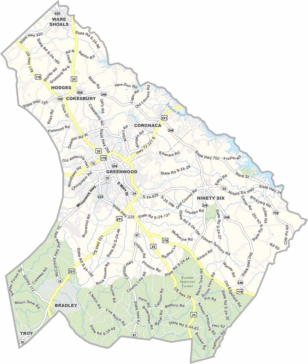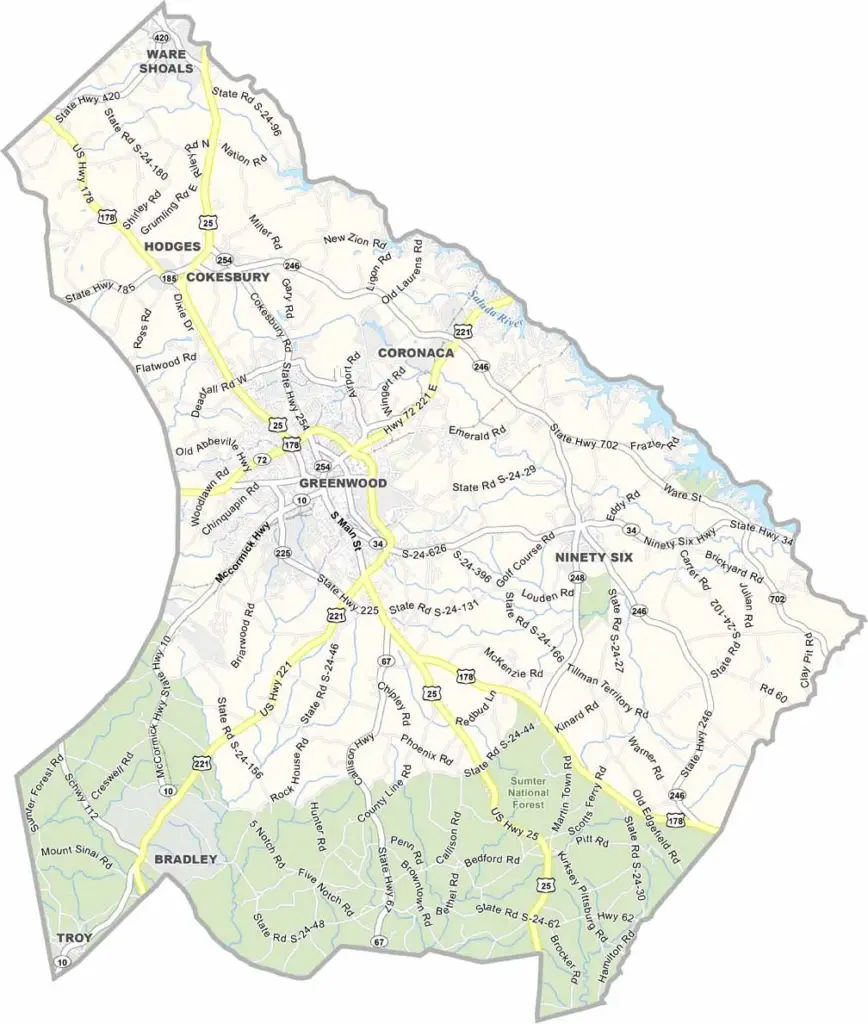
Greenwood County Map, South Carolina

Greenwood County, South Carolina

Greenwood County is located in western South Carolina. Its mix of outdoor recreation, education, and industry makes for an interesting blend. The county has deep roots in textiles, but it has diversified its economy in recent years.

The county seat is also named Greenwood. It is a small city with a big personality, and it hosts the annual South Carolina Festival of Flowers each summer. Lake Greenwood is a major draw for fishing and boating.

Lander University gives the area a college-town vibe. History lovers enjoy exploring Ninety Six National Historic Site, which played a crucial role in the Revolutionary War. Greenwood County may not be the biggest or flashiest place in the state, but it has heart.
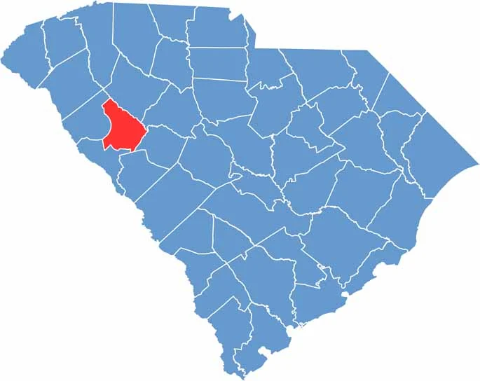

Location map of Greenwood County, South Carolina
CategoryDetails
County NameGreenwood County
County SeatGreenwood
EtymologyNamed after Greenwood Plantation, the home of John McGee
Cities, Towns, and CommunitiesGreenwood, Ninety Six, Ware Shoals
Interstates and HighwaysU.S. Highway 25, U.S. Highway 178, State Highway 34
FIPS Code45-047
Total Area (Land and Water)463 square miles (455 sq mi land, 8 sq mi water)
Adjacent Counties (and Direction)Laurens County (North), Newberry County (Northeast), Edgefield County (Southeast), Saluda County (Southeast), McCormick County (Southwest), Abbeville County (West)
Time ZoneEastern Time Zone (EST)
StateSouth Carolina
Coordinates34°12’N, 82°08’W
Major LandmarksLake Greenwood State Park, Ninety Six National Historic Site, Emerald Farm
PopulationApproximately 72,000
Scroll to Top