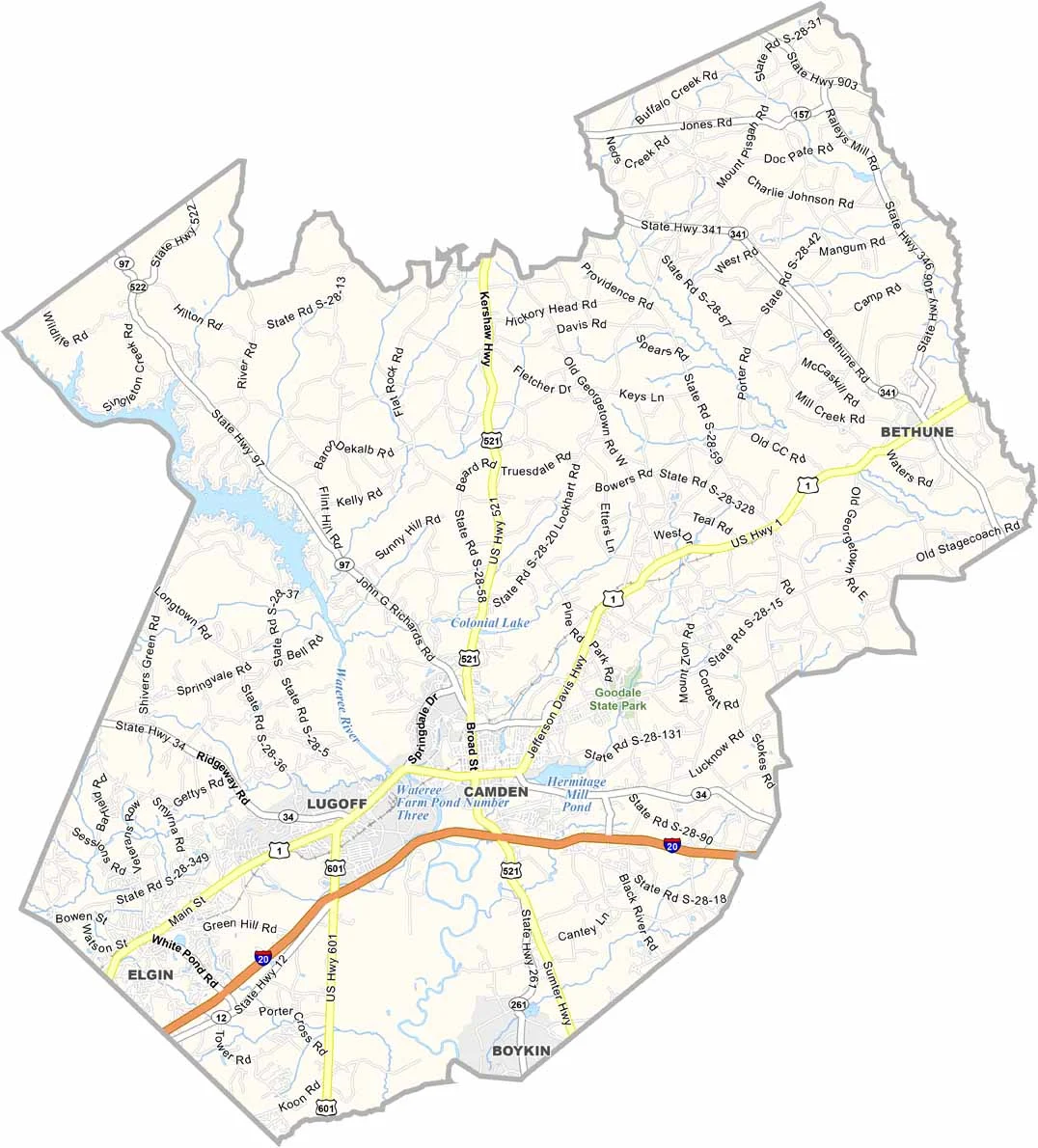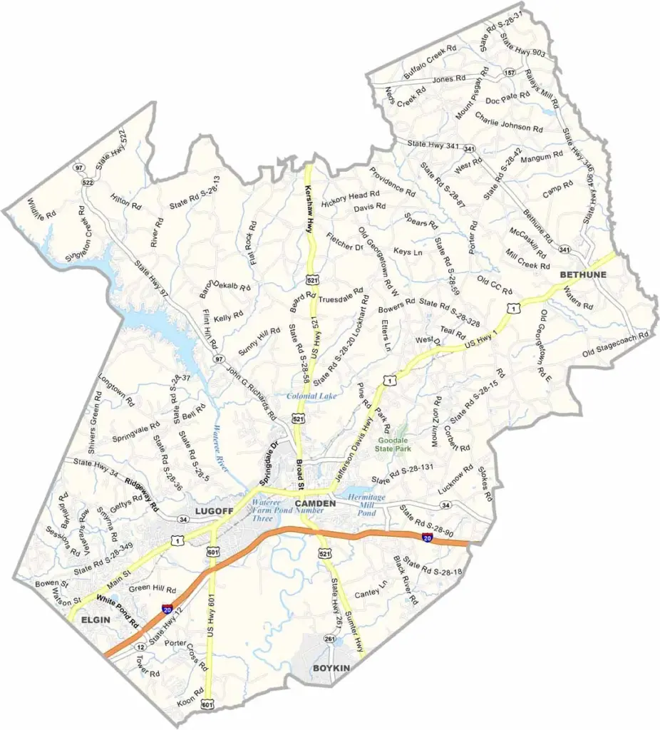
Kershaw County Map, South Carolina

Kershaw County, South Carolina

Kershaw County is right in the middle of South Carolina, where the Midlands meet the Sandhills. If you are looking for a slice of small-town America, this is it.

There is also a side of Revolutionary War history here. Camden, the oldest inland city in the state, is the heart of the county. It has more 18th and 19th-century homes than you can shake a stick at.

Outdoorsy types flock to Lake Wateree for fishing and boating. The county has a thing for horses too, and steeplechase racing is a big deal here. You will find pine forests and peach orchards, old cotton mills and new tech firms.
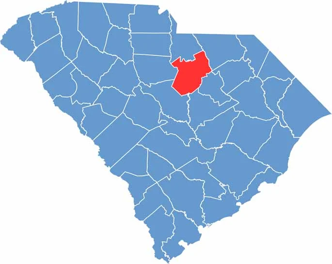

Location map of Kershaw County, South Carolina
CategoryDetails
County NameKershaw County
County SeatCamden
EtymologyNamed after Joseph Kershaw, an early settler and merchant
Cities, Towns, and CommunitiesCamden, Elgin, Lugoff
Interstates and HighwaysInterstate 20, U.S. Highway 1, U.S. Highway 521
FIPS Code45-055
Total Area (Land and Water)740 square miles (727 sq mi land, 13 sq mi water)
Adjacent Counties (and Direction)Lancaster County (North), Chesterfield County (Northeast), Lee County (Southeast), Sumter County (Southeast), Richland County (Southwest), Darlington County (East), Fairfield County (West)
Time ZoneEastern Time Zone (EST)
StateSouth Carolina
Coordinates34°20’N, 80°36’W
Major LandmarksHistoric Camden Revolutionary War Site, Lake Wateree, Goodale State Park
PopulationApproximately 68,000
Scroll to Top