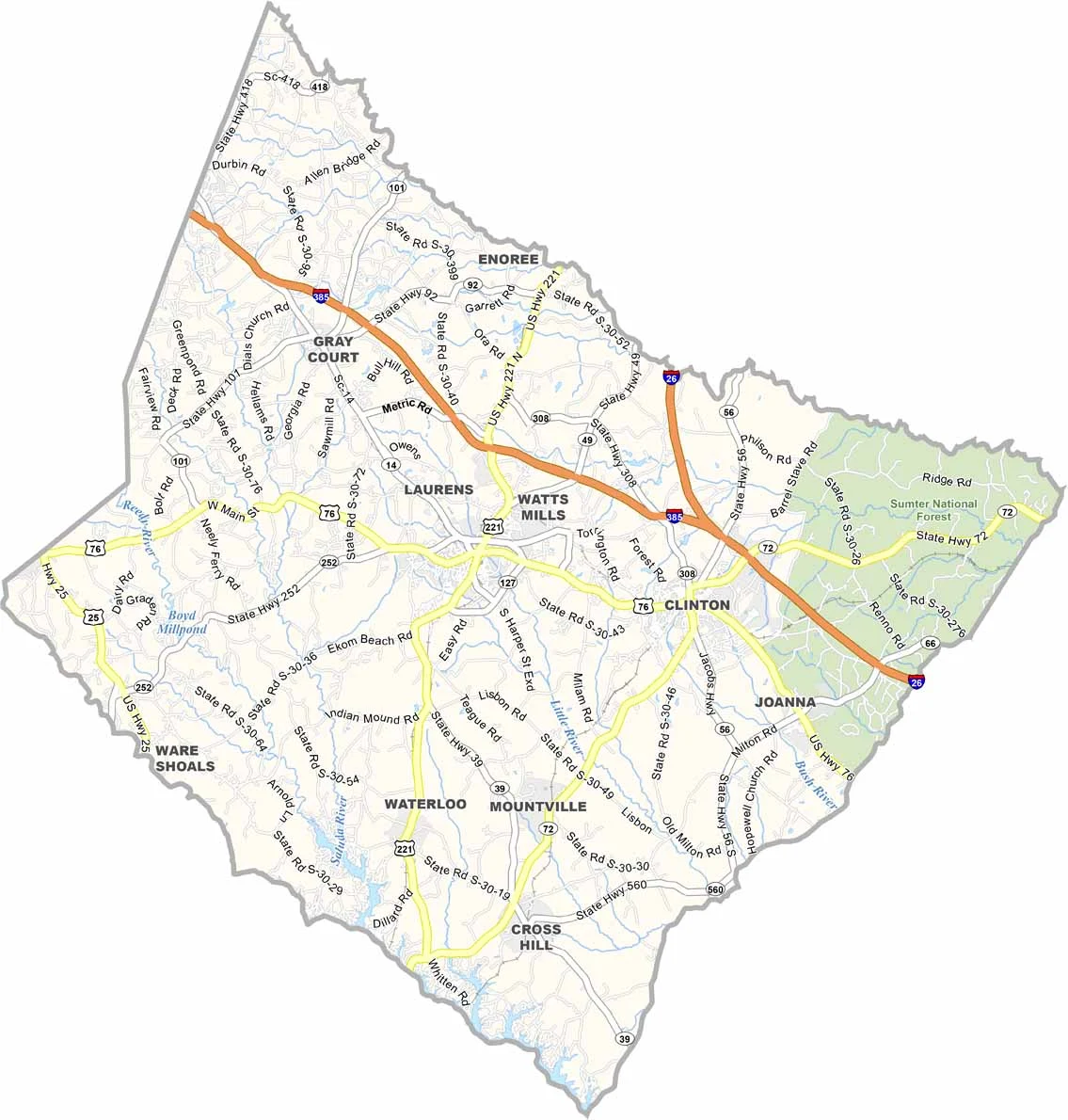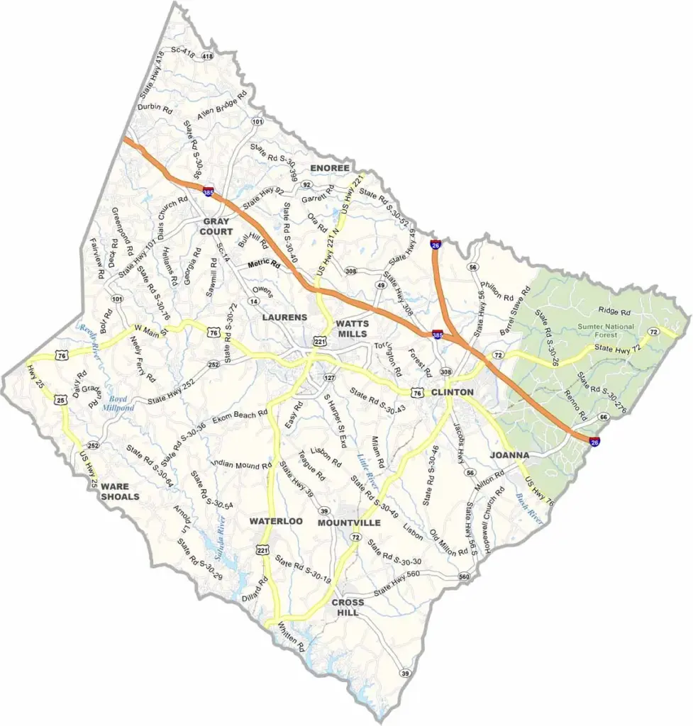
Laurens County Map, South Carolina

Laurens County, South Carolina

Laurens County is right in the heart of the Upstate. It is South Carolina's best-kept secret, a place where small-town living meets big outdoor adventure. Laurens, the county seat, charms visitors with its historic square and friendly folks.

The Sumter National Forest occupies a good chunk of the eastern part of the county, with miles of trails for hikers and hunters. Then there is Lake Greenwood, a favorite spot for fishing and boating.

In some parts, you will find more cows than people, which means agriculture is still a big deal here. History lovers get a kick out of the Revolutionary War sites scattered around. It is not flashy, but that is the appeal. Laurens County is authentic South Carolina at its finest.
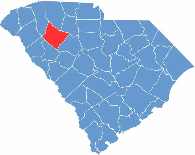

Location map of Laurens County, South Carolina
CategoryDetails
County NameLaurens County
County SeatLaurens
EtymologyNamed after Henry Laurens, a South Carolina statesman and president of the Continental Congress
Cities, Towns, and CommunitiesLaurens, Clinton, Gray Court, Waterloo, Cross Hill, Ware Shoals
Interstates and HighwaysInterstate 385, U.S. Highway 76, U.S. Highway 221
FIPS Code45-059
Total Area (Land and Water)724 square miles (715 sq mi land, 9 sq mi water)
Adjacent Counties (and Direction)Spartanburg County (North), Union County (Northeast), Newberry County (Southeast), Greenwood County (South), Abbeville County (Southwest), Anderson County (West), Greenville County (Northwest)
Time ZoneEastern Time Zone (EST)
StateSouth Carolina
Coordinates34°30’N, 82°00’W
Major LandmarksMusgrove Mill State Historic Site, Lake Greenwood, Laurens County Museum
PopulationApproximately 67,000
Scroll to Top