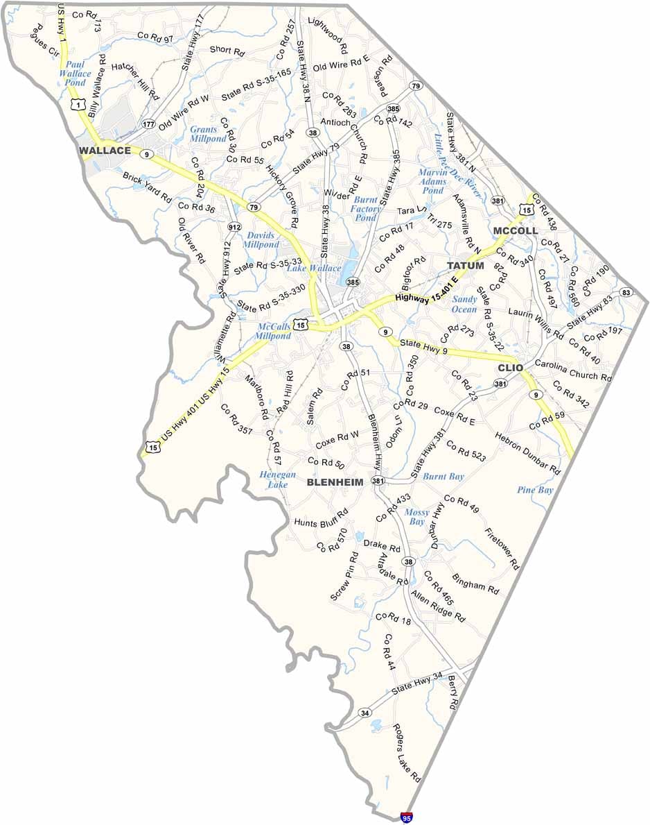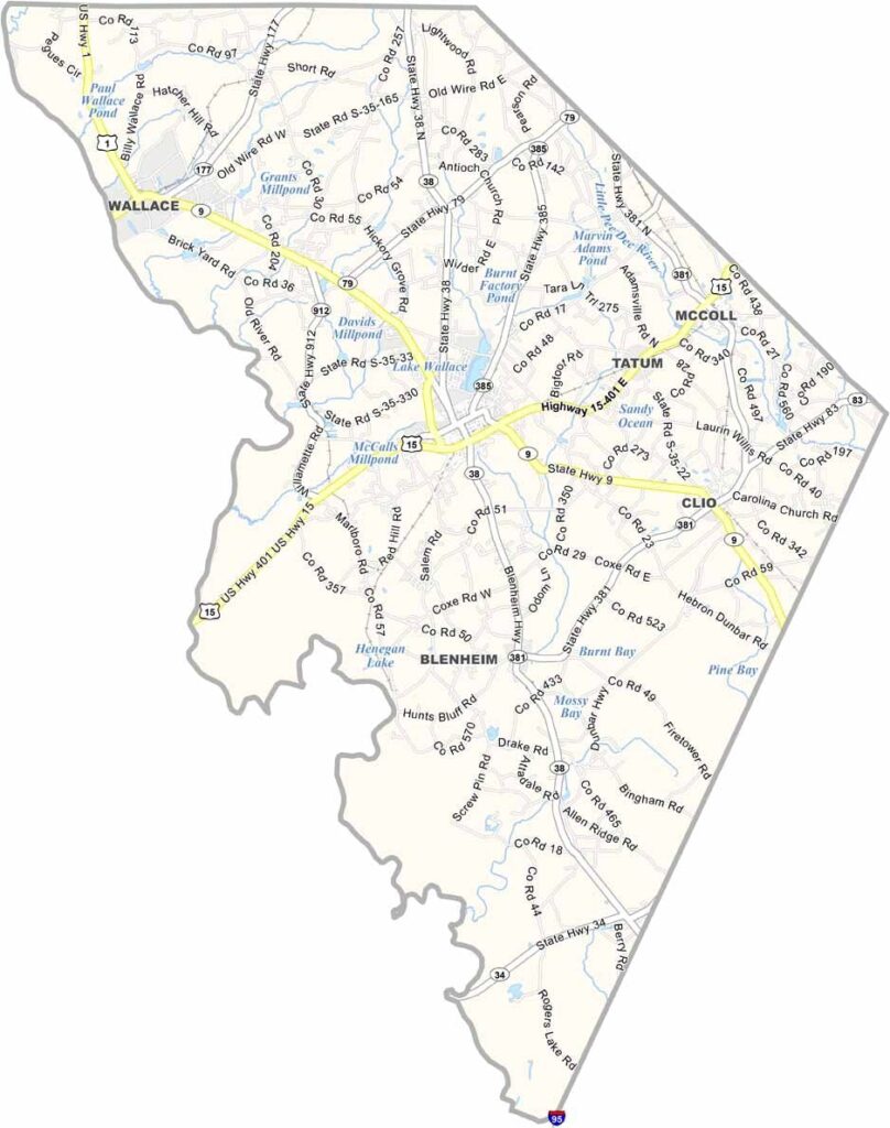
Marlboro County Map, South Carolina

Marlboro County, South Carolina

Marlboro County sits in the northeastern part of South Carolina, right up against the North Carolina border. It's named after the Duke of Marlborough, not the cigarettes.

Bennettsville, the county seat, is known for its historic homes. The county has deep agricultural roots, and cotton was the big crop back in the day. Now it's more diverse, but farming is still a big deal.

Marlboro County played a role in the Revolutionary War. The Great Pee Dee River runs along the county's western edge. Make sure to check out some of the festivals in Marlboro County: good food, good music, good times.
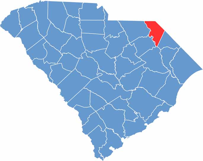

Location map of Marlboro County, South Carolina
CategoryDetails
County NameMarlboro County
County SeatBennettsville
EtymologyNamed after John Churchill, 1st Duke of Marlborough
Cities, Towns, and CommunitiesBennettsville, McColl, Clio, Blenheim, Tatum
Interstates and HighwaysU.S. Highway 15, U.S. Highway 401
FIPS Code45-069
Total Area (Land and Water)485 square miles (480 sq mi land, 5 sq mi water)
Adjacent Counties (and Direction)Richmond County, North Carolina (North), Scotland County, North Carolina (Northeast), Robeson County, North Carolina (East), Dillon County (East), Florence County (South), Darlington County (Southwest), Chesterfield County (West), Anson County, North Carolina (Northwest)
Time ZoneEastern Time Zone (EST)
StateSouth Carolina
Coordinates34°37'N, 79°40'W
Major LandmarksLake Paul Wallace, Marlboro County Courthouse, Clio Opera House
Scroll to Top