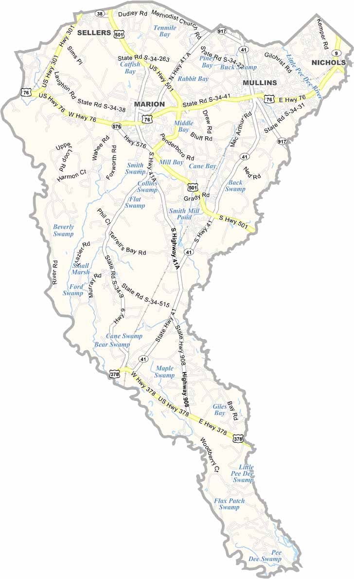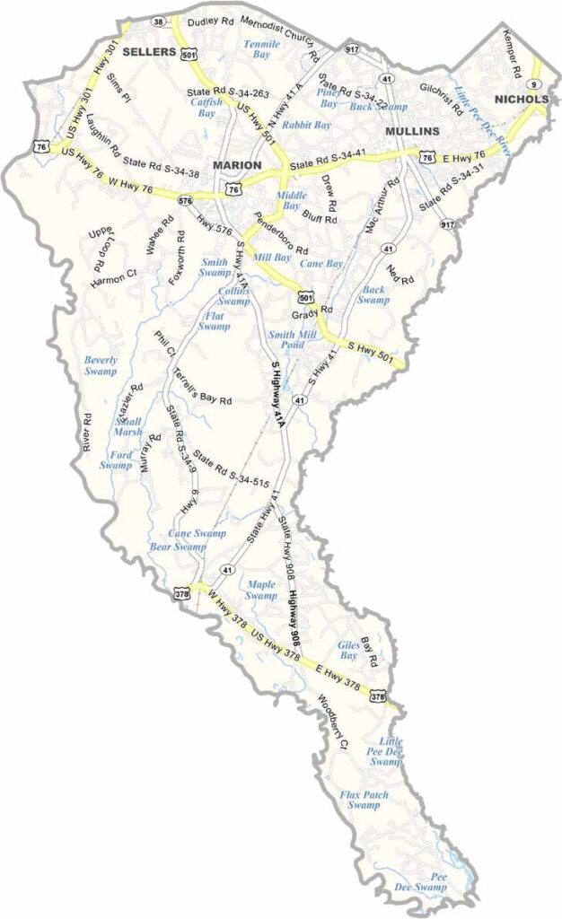
Marion County Map, South Carolina

Marion County, South Carolina

Marion County is in the Pee Dee region of northeastern South Carolina. It's named after Francis Marion, the "Swamp Fox" of Revolutionary War fame. This guy was a master of guerrilla warfare.

Marion, the county seat, has some beautiful old homes. Take a stroll down Main Street and you'll feel like you've stepped back in time.

The county has a rich agricultural history, and tobacco was king here for a long time. These days, it's more about soybeans and corn. The Great Pee Dee River forms the county's western border, great for canoeing or fishing.
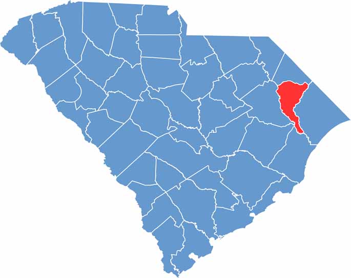

Location map of Marion County, South Carolina
CategoryDetails
County NameMarion County
County SeatMarion
EtymologyNamed after Francis Marion, the American Revolutionary War
Cities, Towns, and CommunitiesMarion, Mullins, Nichols
Interstates and HighwaysU.S. Highway 76, U.S. Highway 501, U.S. Highway 378
FIPS Code45-067
Total Area (Land and Water)494 square miles (489 sq mi land, 5 sq mi water)
Adjacent Counties (and Direction)Dillon County (North), Horry County (East), Georgetown County (South), Williamsburg County (Southwest), Florence County (West)
Time ZoneEastern Time Zone (EST)
StateSouth Carolina
Coordinates34°00'N, 79°22'W
Major LandmarksSwamp Fox Murals Trail, Marion Historic District, Marion County Museum
Scroll to Top