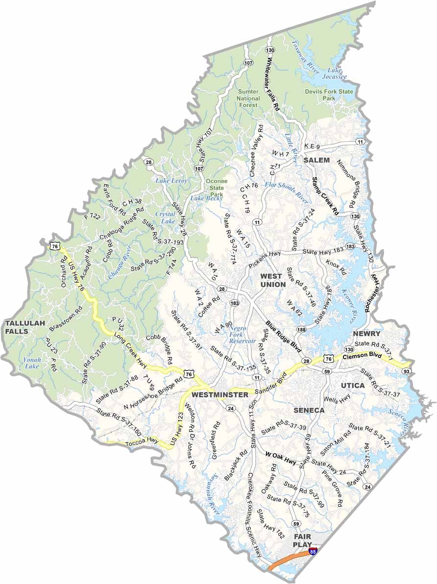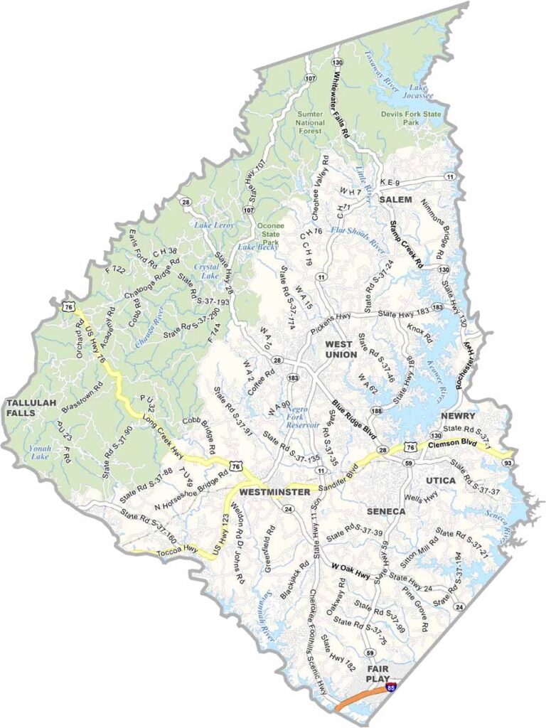
Oconee County Map, South Carolina

Oconee County, South Carolina

The northwestern corner of South Carolina is home to Oconee County, a place of stunning natural beauty. Lakes, waterfalls, and mountains dominate the landscape.

Walhalla, the county seat, has a rich German heritage. Outdoor recreation is huge here, with hiking, fishing, and camping among the most popular activities. Clemson University is nearby, influencing the local culture and economy.

Oconee's name comes from a Cherokee word meaning "land beside the water." It's a fitting name, because the area is a paradise for nature lovers and adventure seekers. The county is next door to both Georgia and North Carolina, making for an easy getaway.
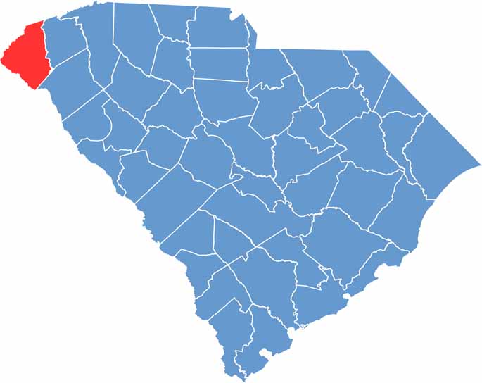

Location map of Oconee County, South Carolina
CategoryDetails
County NameOconee County
County SeatWalhalla
EtymologyNamed after the Oconee Native Americans
Cities, Towns, and CommunitiesSeneca, Walhalla, Westminster, Salem, West Union
Interstates and HighwaysU.S. Highway 76, U.S. Highway 123, State Highway 11
FIPS Code45-073
Total Area (Land and Water)674 square miles (626 sq mi land, 48 sq mi water)
Adjacent Counties (and Direction)Jackson County, North Carolina (North), Transylvania County, North Carolina (Northeast), Pickens County (East), Anderson County (Southeast), Hart County, Georgia (South), Franklin County, Georgia (South), Stephens County, Georgia (Southwest), Habersham County, Georgia (West), Rabun County, Georgia (West), Macon County, North Carolina (Northwest)
Time ZoneEastern Time Zone (EST)
StateSouth Carolina
Coordinates34°45'N, 83°04'W
Major LandmarksLake Jocassee, Sumter National Forest, Stumphouse Mountain Tunnel
Scroll to Top