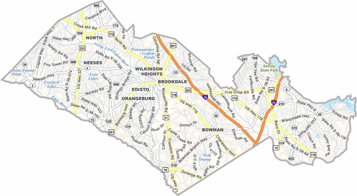
Orangeburg County Map, South Carolina

Orangeburg County, South Carolina

Orangeburg County sits in the heart of South Carolina. It’s known as “The Garden City” for its beautiful roses and azaleas. The county also has a rich history and played an important role in the Civil Rights Movement.

Orangeburg is home to two historically Black universities, South Carolina State and Claflin. Agriculture is also a major part of life here, with sweet potatoes and cotton among the key crops.

The Edisto Memorial Gardens are a local treasure. Visitors can fish or kayak along the North Edisto River, while locals look forward to the annual Festival of Roses. Orangeburg County is a place where old traditions blend with new ideas.
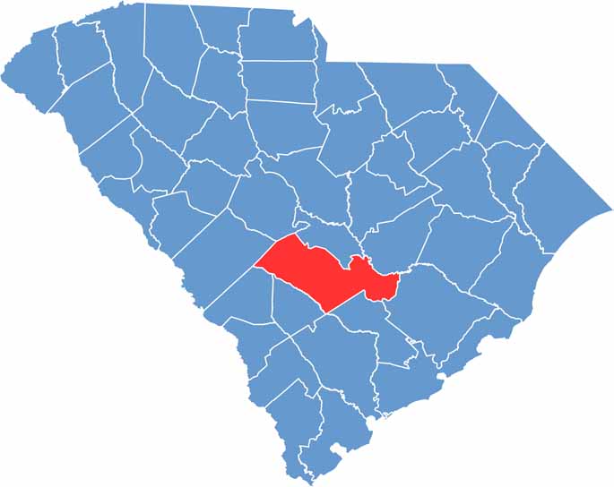

Location map of Orangeburg County, South Carolina
CategoryDetails
County NameOrangeburg County
County SeatOrangeburg
EtymologyNamed after Prince William V of Orange
Cities, Towns, and CommunitiesOrangeburg, Holly Hill, North, Bowman, Santee
Interstates and HighwaysInterstate 26, Interstate 95, U.S. Highway 301, U.S. Highway 21
FIPS Code45-075
Total Area (Land and Water)1,128 square miles (1,106 sq mi land, 22 sq mi water)
Adjacent Counties (and Direction)Calhoun County (North), Clarendon County (Northeast), Dorchester County (Southeast), Berkeley County (Southeast), Bamberg County (South), Colleton County (South), Aiken County (West), Barnwell County (West), Lexington County (Northwest)
Time ZoneEastern Time Zone (EST)
StateSouth Carolina
Coordinates33°26’N, 80°45’W
Major LandmarksEdisto Memorial Gardens, South Carolina State University, Santee State Park
PopulationApproximately 84,000
Scroll to Top