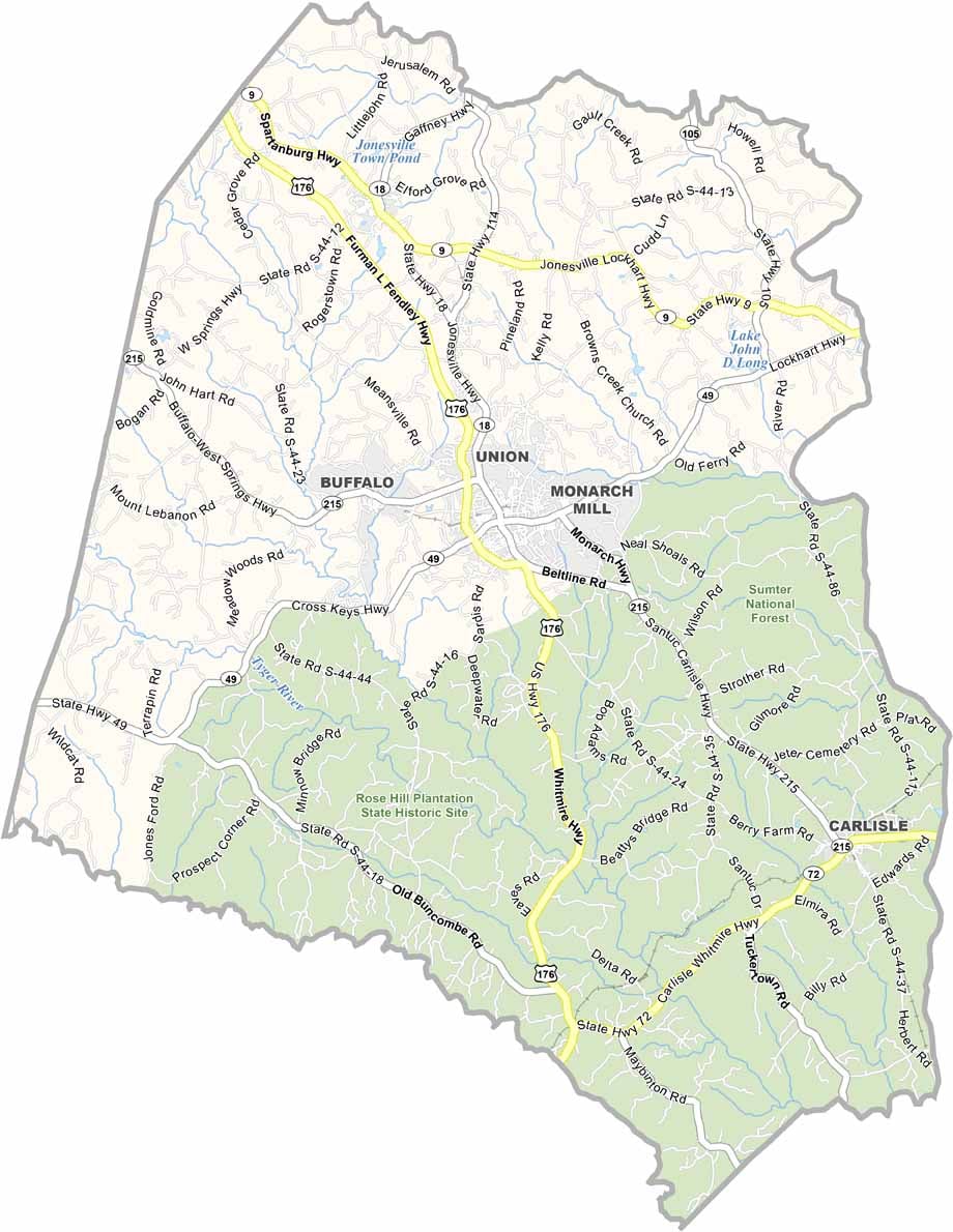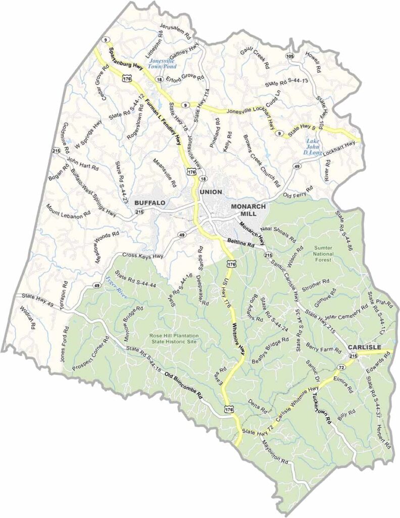
Union County Map, South Carolina

Union County, South Carolina

Union County sits in the heart of South Carolina’s Upstate. It’s a place of small towns and big hearts. The Broad River runs along the eastern border, making it a great spot for a relaxing float on a hot day.

The area has a deep history, with Revolutionary War battles fought here. Some of those historic sites can still be visited today. The county takes its name from the old Union Church, where people from different denominations worshipped together. Talk about community spirit.

Today, Union is known for its festivals. The Uniquely Union Festival brings crowds every fall, while barbecue is a local favorite. People can get pretty serious about who makes the best sauce. The Rose Hill Plantation State Historic Site is also worth visiting, offering a glimpse into the antebellum South. Despite its size, Union County has plenty to offer.
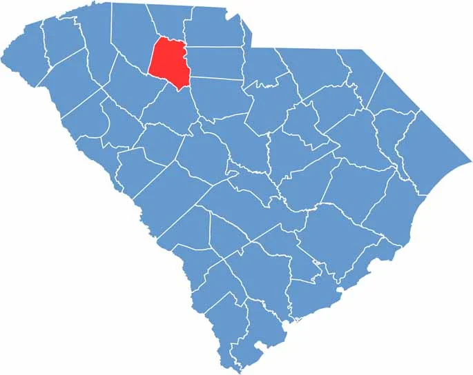

Location map of Union County, South Carolina
CategoryDetails
County NameUnion County
County SeatUnion
EtymologyNamed for the Union Church, established in the county
Cities, Towns, and CommunitiesUnion, Jonesville, Lockhart
Interstates and HighwaysU.S. Highway 176, State Highway 9, State Highway 49
FIPS Code45-087
Total Area (Land and Water)516 square miles (514 sq mi land, 2 sq mi water)
Adjacent Counties (and Direction)Cherokee County (North), York County (Northeast), Chester County (East), Fairfield County (Southeast), Newberry County (South), Laurens County (Southwest), Spartanburg County (Northwest)
Time ZoneEastern Time Zone (EST)
StateSouth Carolina
Coordinates34°42’N, 81°37’W
Major LandmarksRose Hill Plantation State Historic Site, Musgrove Mill State Historic Site
PopulationApproximately 27,000
Scroll to Top