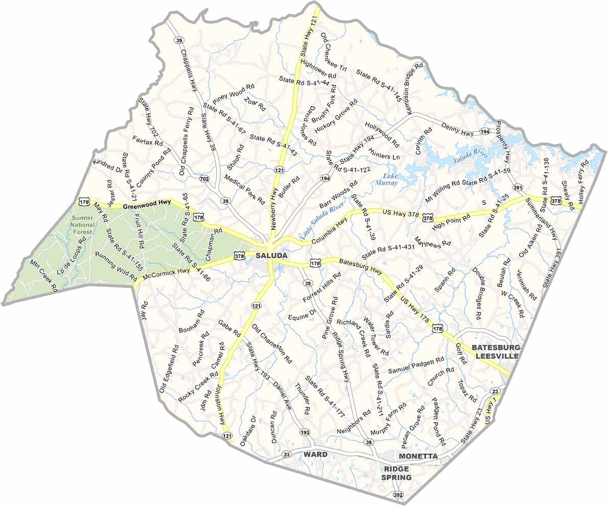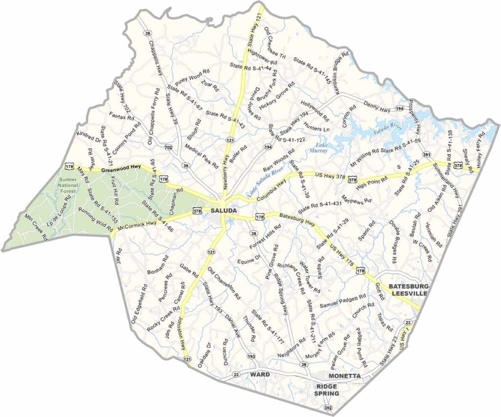
Saluda County Map, South Carolina

Saluda County, South Carolina

Saluda County is located in South Carolina’s Piedmont region. It may be small, but it has plenty to offer. The Saluda River runs through the county, creating great spots for fishing and kayaking.

Locals take pride in the peaches grown here. Yep, some of them are among the sweetest you’ll find. On weekends, the farmers market comes alive with activity, offering everything from homemade jams to handcrafted furniture.

History buffs enjoy visiting the old courthouse, which was built in 1917 and still stands today. The county has its share of quirks, too. Every year, the “Tractor Pull” draws visitors from around the area. Don’t knock it till you’ve tried it.
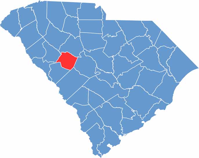

Location map of Saluda County, South Carolina
CategoryDetails
County NameSaluda County
County SeatSaluda
EtymologyNamed after the Saluda River
Cities, Towns, and CommunitiesSaluda, Ridge Spring, Ward, Monetta
Interstates and HighwaysU.S. Highway 378, U.S. Highway 178
FIPS Code45-081
Total Area (Land and Water)462 square miles (453 sq mi land, 9 sq mi water)
Adjacent Counties (and Direction)Newberry County (North), Lexington County (East), Aiken County (South), Edgefield County (Southwest), Greenwood County (Northwest), McCormick County (West)
Time ZoneEastern Time Zone (EST)
StateSouth Carolina
Coordinates33°55’N, 81°43’W
Major LandmarksLake Murray, Saluda County Historical Society Museum, Bonham House
PopulationApproximately 20,000
Scroll to Top