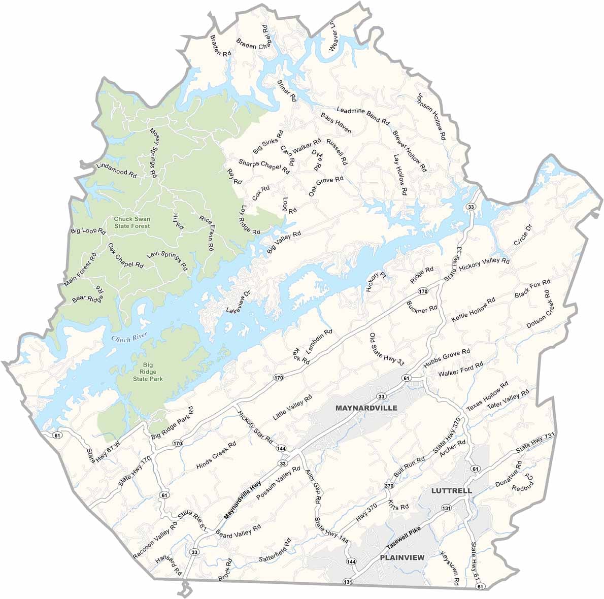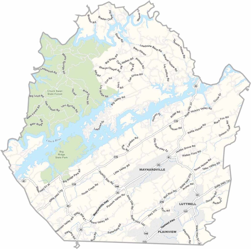
Union County Map, Tennessee

Union County, Tennessee

Union County lies northeast of Knoxville in the Tennessee Valley. It’s home to Big Ridge State Park, a favorite destination for camping and hiking.

Norris Lake covers a large portion of the county, offering excellent opportunities for fishing and boating. The area also has a rich musical heritage. Roy Acuff, the King of Country Music, was born here.

Farming remains a way of life for many residents. The rolling hills provide scenic drives, while Maynardville, the county seat, offers classic small-town friendliness. This is simple living at its finest.
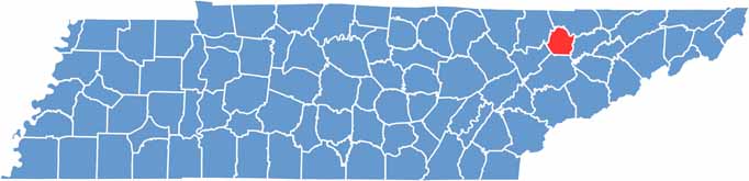
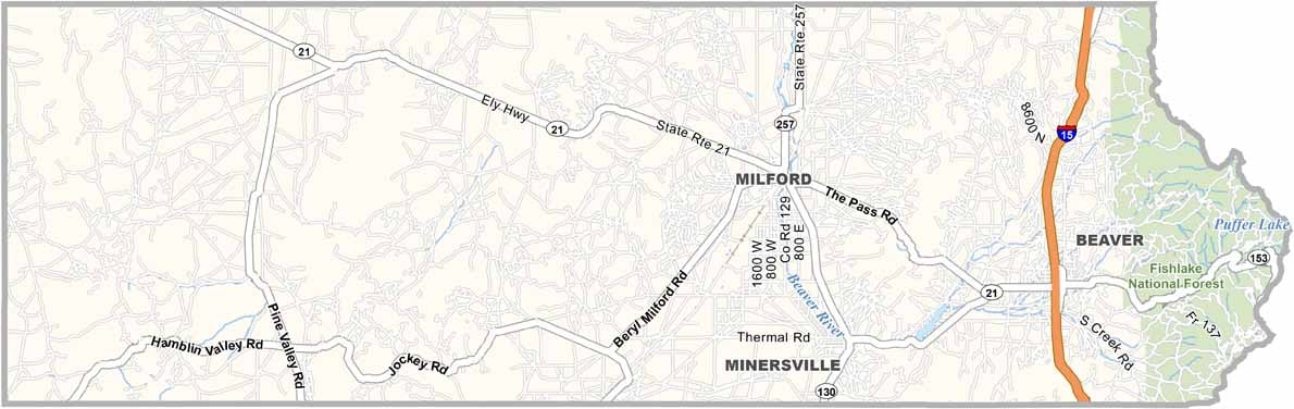
Union County location map of Tennessee
CategoryDetails
County NameUnion County
County SeatMaynardville
PopulationApproximately 21,000
Cities, Towns, and CommunitiesMaynardville, Luttrell, Plainview, Sharps Chapel, Paulette
Interstates and HighwaysState Highway 33, State Highway 61
FIPS Code47-173
Total Area (Land and Water)247 square miles (224 sq mi land, 23 sq mi water)
Adjacent Counties (and Direction)Claiborne County (North), Grainger County (East), Knox County (South), Anderson County (Southwest), Campbell County (Northwest)
Time ZoneEastern Time Zone (EST)
StateTennessee
Coordinates36°18’N, 83°50’W
EtymologyNamed for the “union” of parts of five surrounding counties to form Union County
Major LandmarksBig Ridge State Park, Norris Lake, Chuck Swan State Forest
Scroll to Top