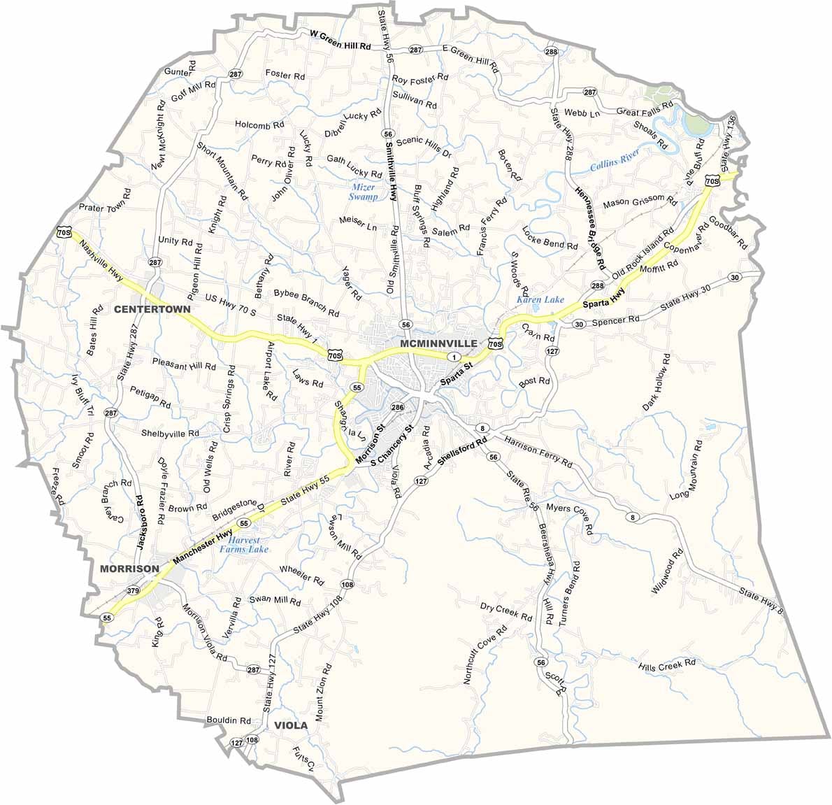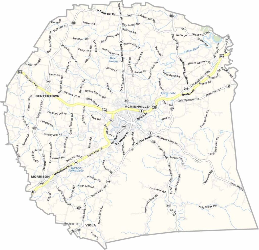
Warren County Map, Tennessee

Warren County, Tennessee

Warren County sits in the heart of Tennessee. McMinnville, the county seat, is known as the Nursery Capital of the World. Yep, they grow plenty of trees and shrubs here.

The area is home to some interesting caves. Cumberland Caverns offers walking tours and even hosts underground concerts. How cool is that? The Barren Fork River runs through town, providing some nice fishing spots.

You’ll find a mix of industry and agriculture throughout the county. The Collins River is popular with kayakers, too. People here take pride in their roots. It’s the kind of place where traditions still matter.
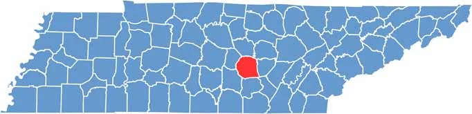
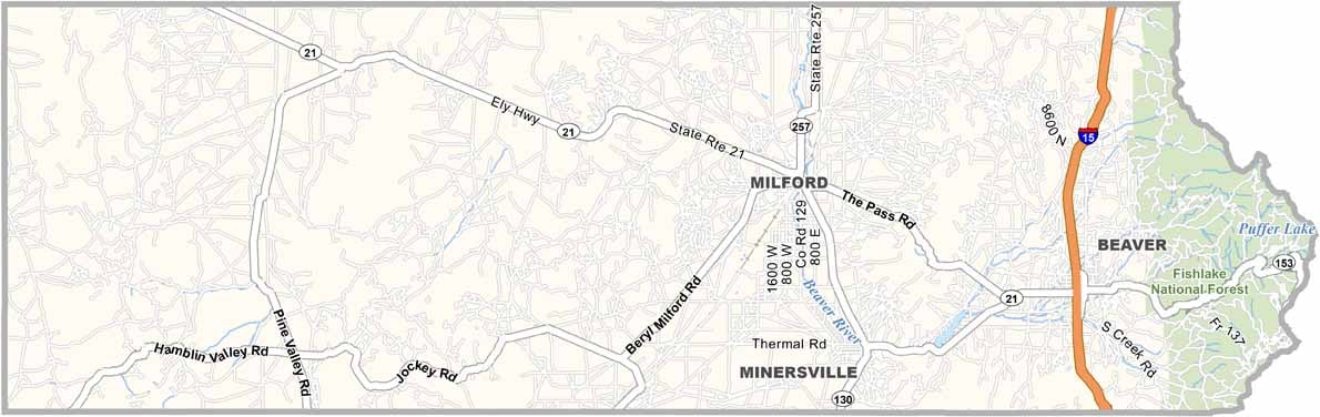
Warren County location map of Tennessee
CategoryDetails
County NameWarren County
County SeatMcMinnville
PopulationApproximately 42,000
Cities, Towns, and CommunitiesMcMinnville, Morrison, Centertown, Viola, Rock Island
Interstates and HighwaysU.S. Highway 70S, State Highway 56
FIPS Code47-177
Total Area (Land and Water)434 square miles (432 sq mi land, 2 sq mi water)
Adjacent Counties (and Direction)DeKalb County (North), White County (Northeast), Van Buren County (East), Sequatchie County (Southeast), Grundy County (South), Coffee County (Southwest), Cannon County (Northwest)
Time ZoneCentral Time Zone (CST)
StateTennessee
Coordinates35°41’N, 85°47’W
EtymologyNamed after Joseph Warren, a doctor and general in the American Revolutionary War
Major LandmarksRock Island State Park, Cumberland Caverns, Falcon Rest Mansion
Scroll to Top