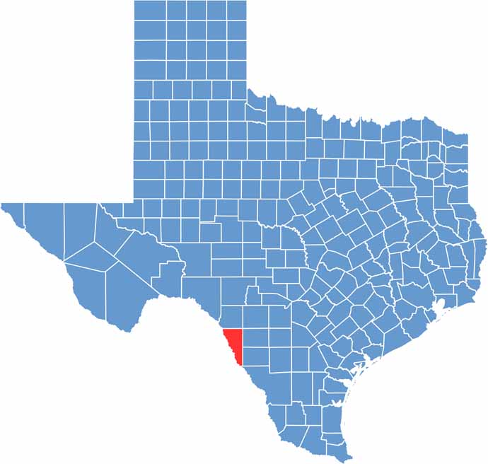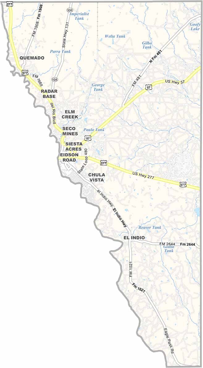
Maverick County lies in southwest Texas, right along the Mexican border. The Rio Grande marks its southern edge, separating Texas from Mexico. Summers can be seriously hot, but that doesn’t slow down the people who call this place home.
Eagle Pass serves as the county seat and is a lively border city with a strong mix of American and Mexican culture. Spanish and English are both part of everyday life, and Mexico is just a short walk away. Fort Duncan, a historic military outpost, still stands as a reminder of the area’s frontier past.
The county also has plenty of rugged Texas character. It was named after Samuel Maverick, a well-known figure in Texas history, and ranching remains an important part of the local economy. Longhorns are a common sight, while the local food scene brings plenty of Mexican flavor. And if you’re a fan of tamales, you’ll have plenty of reasons to stick around.