
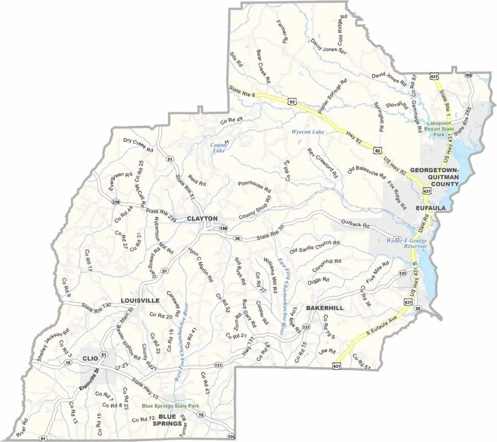
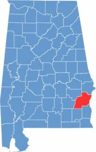
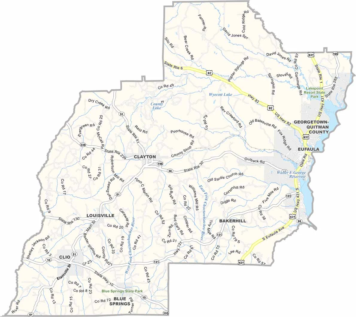
Barbour County is located in southeastern Alabama along the Georgia border. The county was named after James Barbour, a former governor of Virginia. Around 25,000 people live here.
The Chattahoochee River forms the county’s eastern boundary and offers excellent fishing opportunities. Lake Eufaula is another popular destination for fishing and boating. Blue Springs State Park is known for its clear springs and shady picnic areas.
Eufaula’s historic district features many elegant old homes. Former Alabama Governor George Wallace was born in Barbour County. Peanuts remain one of the county’s major crops. The annual Eufaula Pilgrimage highlights the area's beautiful antebellum architecture. Life here is generally quieter than in Alabama’s larger cities.
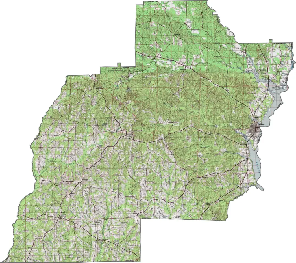
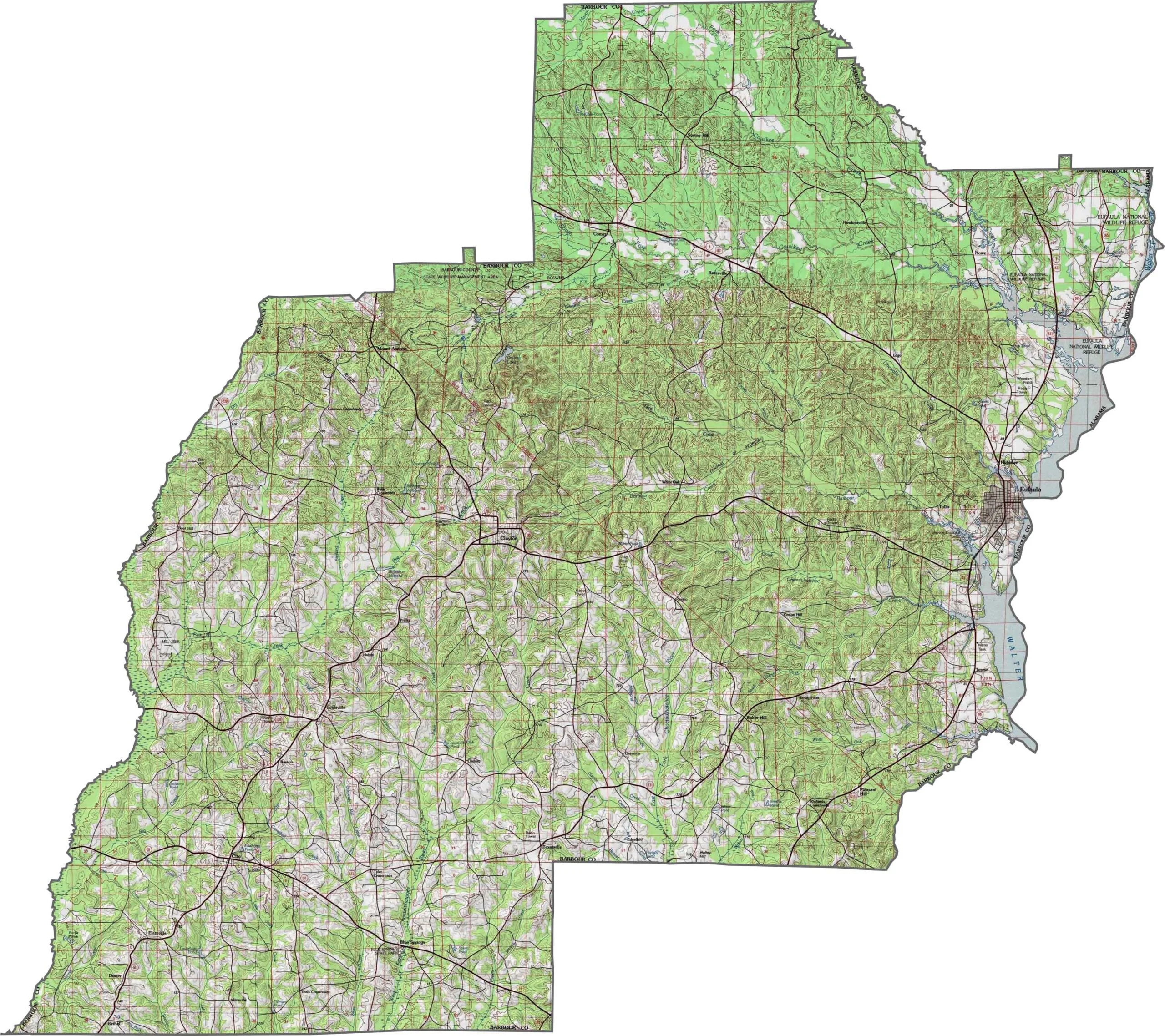
Explore Barbour County’s landscape with this topographic map, showcasing its rolling hills, rivers, and gentle elevation changes. Use the zoom tool below to get a closer look at the county’s terrain and natural features.
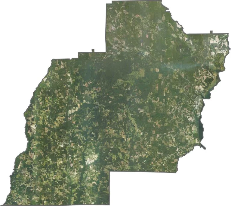
This satellite map of Barbour County showcases its rolling hills, winding rivers, and small towns. It provides a useful overview of the county’s geography and layout.
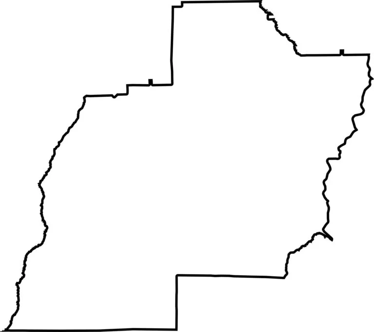
This blank map of Barbour County features a simple outline of the county’s boundaries. It is ideal for marking locations, adding notes, or creating custom map projects.








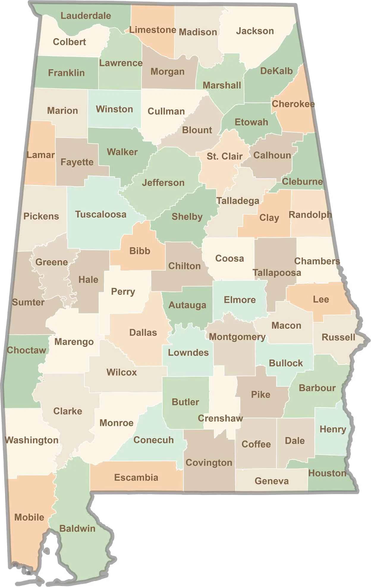
Discover Alabama county by county with our detailed Alabama county map. Easily explore county boundaries across the state—ideal for travel planning, local research, or satisfying your curiosity.