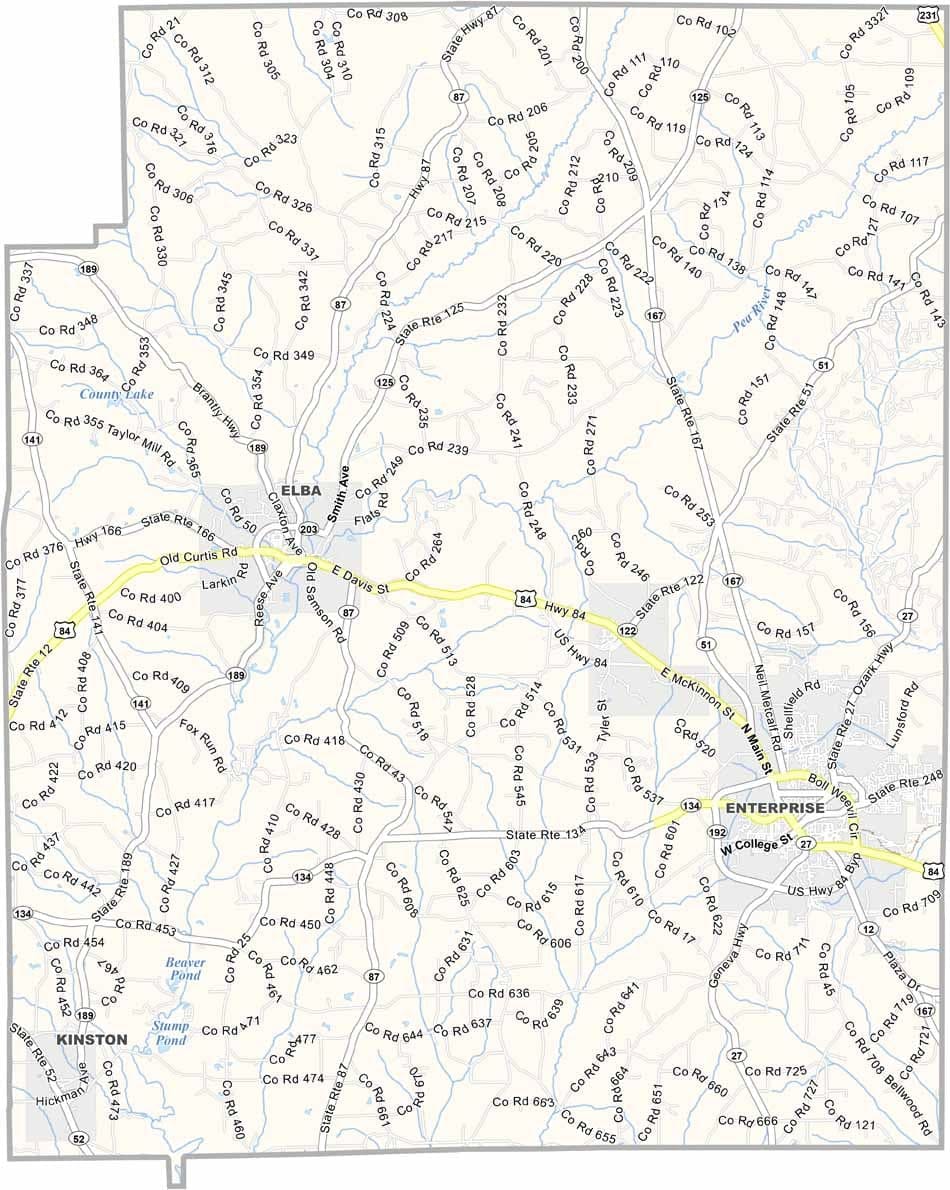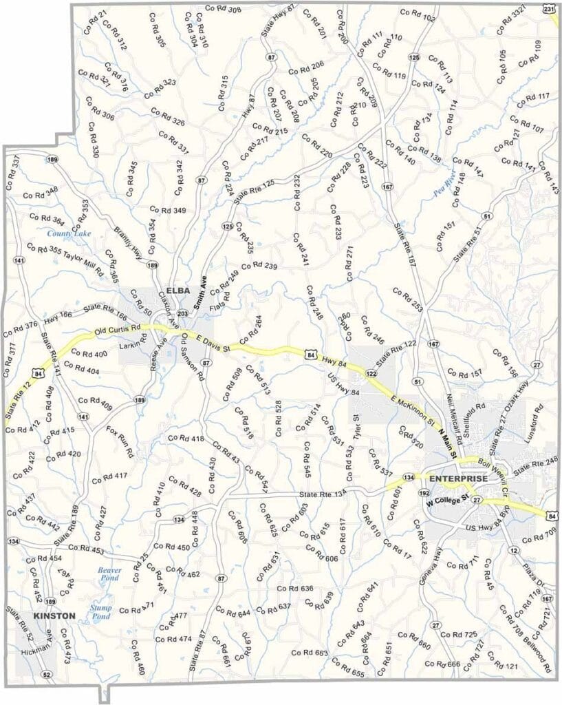
Coffee County Map Download Alabama – Outline Map and Blank Map

Coffee County Map Download Alabama – Outline Map and Blank Map

Coffee County map showing boundaries and locations in Alabama.

Coffee County, Alabama

Coffee County is located in southeastern Alabama and is unique in having two county seats: Enterprise and Elba. Despite its name, the county isn’t connected to the beverage—it was named after General John Coffee, a notable military leader from the War of 1812.

Enterprise, known as the “City of Progress,” is home to the famous Boll Weevil Monument. The insect once devastated local cotton crops, but it ultimately led farmers to diversify into peanuts, helping to revive the area’s economy.

Nearby Fort Novosel (formerly Fort Rucker) serves as a major U.S. Army base specializing in helicopter training, so it’s common to see helicopters in the skies. Today, around 55,000 people live in Coffee County.
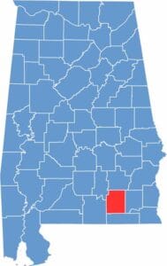

Coffee County location map showing its position in Alabama.
Category Details
County Name Coffee County
County Seat Elba and Enterprise (dual seats)
Cities, Towns, and Communities Enterprise, Elba, Kinston, New Brockton, Victoria, Goodman, Ino, Roeton
Interstates and Highways U.S. Highway 84, U.S. Highway 231, State Route 87, State Route 189, State Route 203
Etymology Named after General John Coffee, a prominent military leader in the War of 1812
FIPS Code 01-031
Total Area (Land and Water) 680 square miles (Land: 679 sq mi, Water: 1 sq mi)
Time Zone Central Time Zone (CT)
State Alabama
Coordinates 31.4004° N, 86.0122° W
Major Landmarks Boll Weevil Monument, Enterprise State Community College, Elba Courthouse Square, Lake Tholocco, Fort Rucker (partly in Coffee County)
Adjacent Counties (and Direction) Pike County (North), Dale County (East), Geneva County (South), Covington County (West), Crenshaw County (Northwest)
Population Approximately 55,000
Scroll to Top