Cleburne County Map Download Alabama – Outline Map and Blank Map

Cleburne County Map Download Alabama – Outline Map and Blank Map

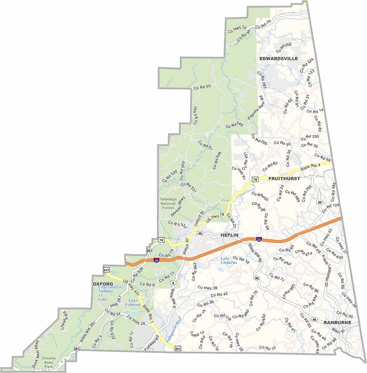
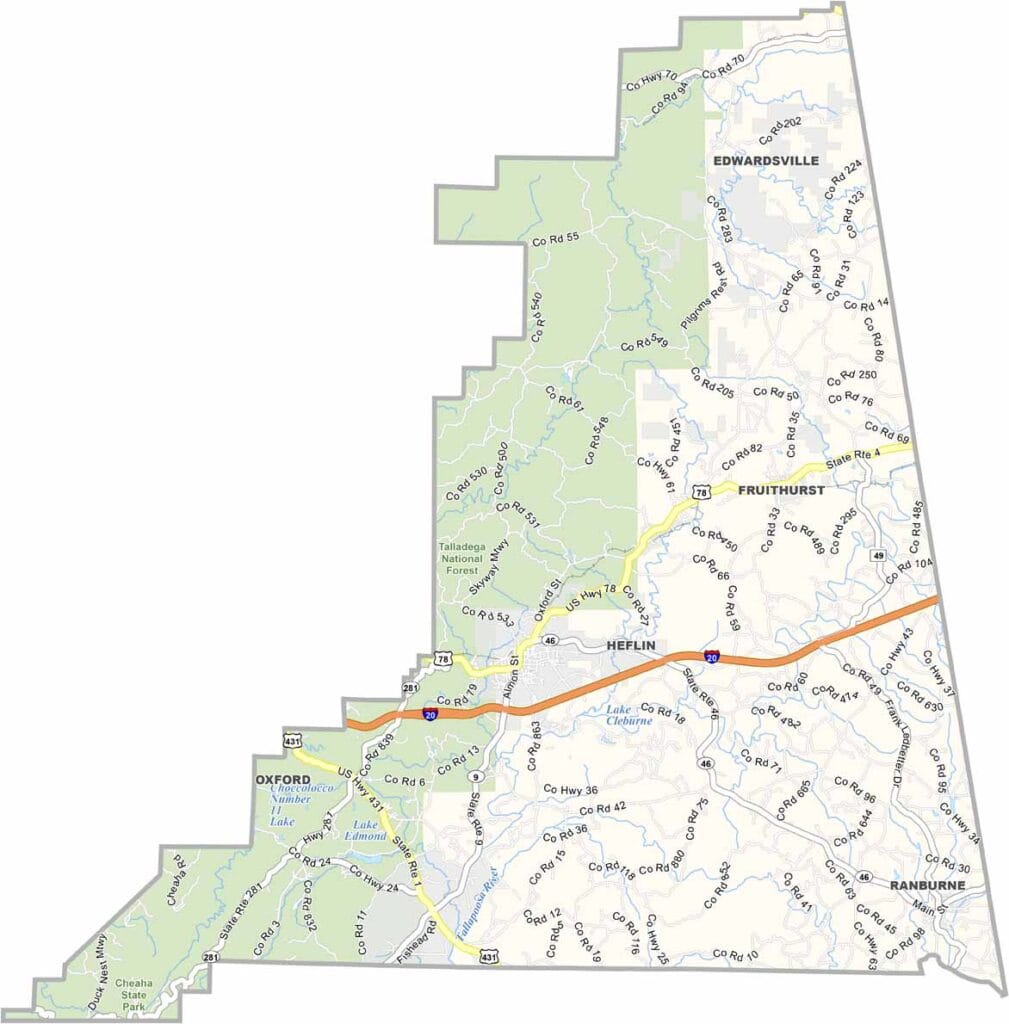
Cleburne County maps showing boundaries and locations in Alabama.

Cleburne County, Alabama

Cleburne County is located in northeastern Alabama along the Georgia border. Heflin serves as the county seat, and the population is just over 15,000, spread across a landscape of rolling hills and valleys.

A significant portion of the county’s western area lies within the Talladega National Forest. Cheaha Mountain, the highest point in Alabama, is partly located here, and Cheaha State Park stands out as a popular destination for nature enthusiasts, offering scenic hiking trails and waterfalls.

The county was named after Patrick Cleburne, a Confederate general during the American Civil War. Interstate 20 runs through the southern part of the county, providing a direct route between Atlanta and Birmingham.
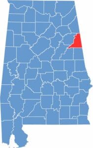

Cleburne County location maps showing its position in Alabama.
Category Details
County Name Cleburne County
County Seat Heflin
Cities, Towns, and Communities Heflin, Ranburne, Fruithurst, Edwardsville, Muscadine, Abernathy, Chulafinnee
Interstates and Highways Interstate 20, U.S. Highway 78, State Route 9, State Route 46, State Route 281
Etymology Named after Patrick Cleburne, a Confederate general in the American Civil War
FIPS Code 01-029
Total Area (Land and Water) 561 square miles (Land: 560 sq mi, Water: 1 sq mi)
Time Zone Central Time Zone (CT)
State Alabama
Coordinates 33.6788° N, 85.5208° W
Major Landmarks Talladega National Forest, Cheaha Mountain, Pinhoti National Recreation Trail, Cleburne County Courthouse, Heflin Covered Bridge
Adjacent Counties (and Direction) Cherokee County (North), Polk County, Georgia (Northeast), Haralson County, Georgia (East), Carroll County, Georgia (Southeast), Randolph County (South), Clay County (Southwest), Talladega County (Southwest), Calhoun County (West)
Population Approximately 15,000
Scroll to Top