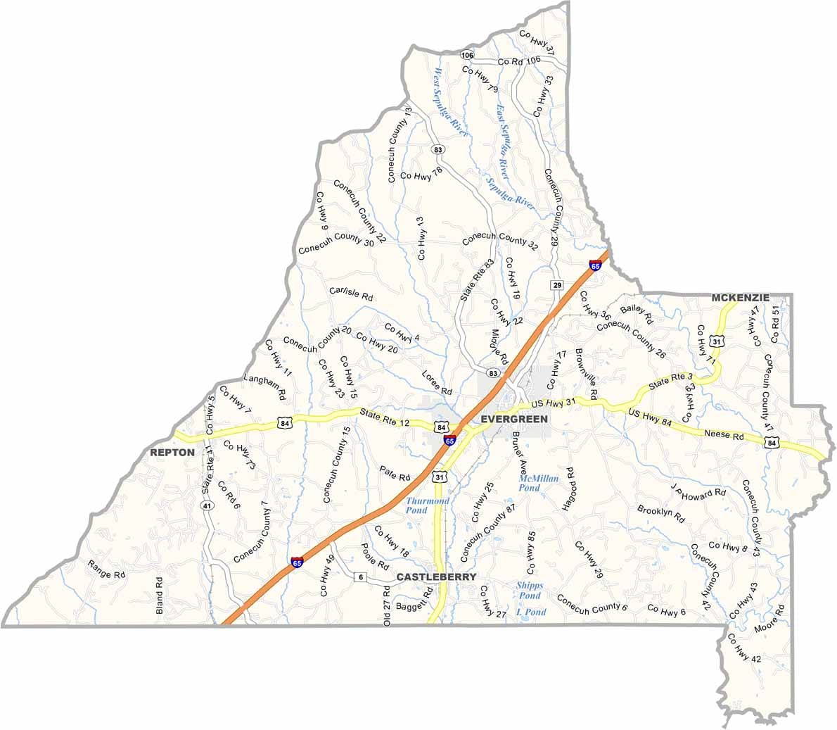
Conecuh County Map Download Alabama – Outline Map and Blank Map

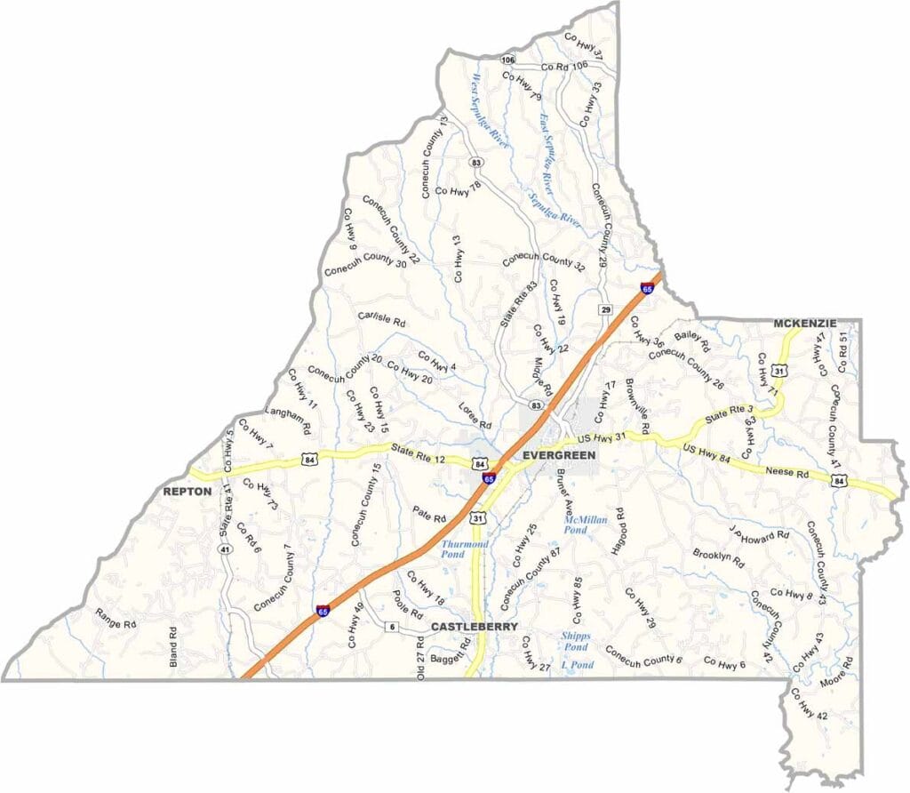
Conecuh County Map Download Alabama – Outline Map and Blank Map

Conecuh County map showing boundaries and locations in Alabama.

Conecuh County, Alabama

Conecuh County is located in southern Alabama, and its name comes from a Muskogee word meaning “land of cane.” It is a small county with a population of about 12,000, and Evergreen serves as the county seat.

Interstate 65 runs through the area, adding some activity, but much of the county still maintains a rural feel. Hunting and fishing are popular here, with plenty of deer, turkey, and other wildlife available.

The county is well known for its famous Conecuh sausage, a local favorite with a strong reputation. The Sepulga River flows through the region, offering opportunities for canoeing—though occasional alligator sightings add a bit of excitement. The landscape is also marked by abundant longleaf pine forests.
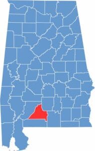

Conecuh County location map showing its position in Alabama.
Category Details
County Name Conecuh County
County Seat Evergreen
Cities, Towns, and Communities Evergreen, Castleberry, Repton, Lenox, Range, Lyeffion, Brooklyn, Belleville
Interstates and Highways Interstate 65, U.S. Highway 31, U.S. Highway 84, State Route 41, State Route 83
Etymology Named after the Conecuh River, which flows through the county.
FIPS Code 01-035
Total Area (Land and Water) 853 square miles (Land: 850 sq mi, Water: 3 sq mi)
Time Zone Central Time Zone (CT)
State Alabama
Coordinates 31.4349° N, 86.9824° W
Major Landmarks Conecuh National Forest, Evergreen Depot, Booker’s Mill, Sparta Academy, Sepulga River
Adjacent Counties (and Direction) Butler County (Northeast), Covington County (Southeast), Escambia County (South), Monroe County (Northwest)
Population Approximately 12,000
Scroll to Top