Coosa County Map Download Alabama – Outline Map and Blank Map

Coosa County Map Download Alabama – Outline Map and Blank Map

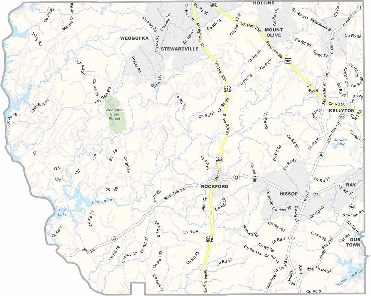
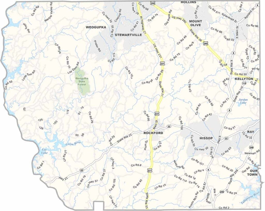
Coosa County maps showing boundaries and locations in Alabama.

Coosa County, Alabama

Coosa County is located in central Alabama, characterized by rolling hills and winding waterways. Rockford serves as the county seat, a small town where life is quiet and community ties run strong. The county has a population of around 10,000.

The county is named after the Coosa River, which itself was named after the Coosa Native American tribe. While there are no major interstates running through the area, Alabama Highway 22 provides the main route across the county.

Coosa County is also known for outdoor recreation, including Hatchet Creek, a popular destination for kayaking. The Coosa River and the Coosa Wildlife Management Area in the western part of the county further add to its natural appeal.
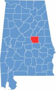

Coosa County location map showing its position in Alabama.
Category Details
County Name Coosa County
County Seat Rockford
Cities, Towns, and Communities Rockford, Goodwater, Kellyton, Weogufka, Nixburg, Equality
Interstates and Highways U.S. Highway 231, State Route 9, State Route 22, State Route 115
Etymology Named after the Coosa River, which in turn was named after the Coosa Native American tribe
FIPS Code 01-037
Total Area (Land and Water) 666 square miles (Land: 651 sq mi, Water: 15 sq mi)
Time Zone Central Time Zone (CT)
State Alabama
Coordinates 32.9360° N, 86.2411° W
Major Landmarks Hatchet Creek, Confederate Memorial Park, Lake Martin (partly in Coosa County), Coosa Wildlife Management Area
Adjacent Counties (and Direction) Talladega County (North), Clay County (Northeast), Tallapoosa County (East), Elmore County (South), Chilton County (West), Shelby County (Northwest)
Population Approximately 10,300
Scroll to Top