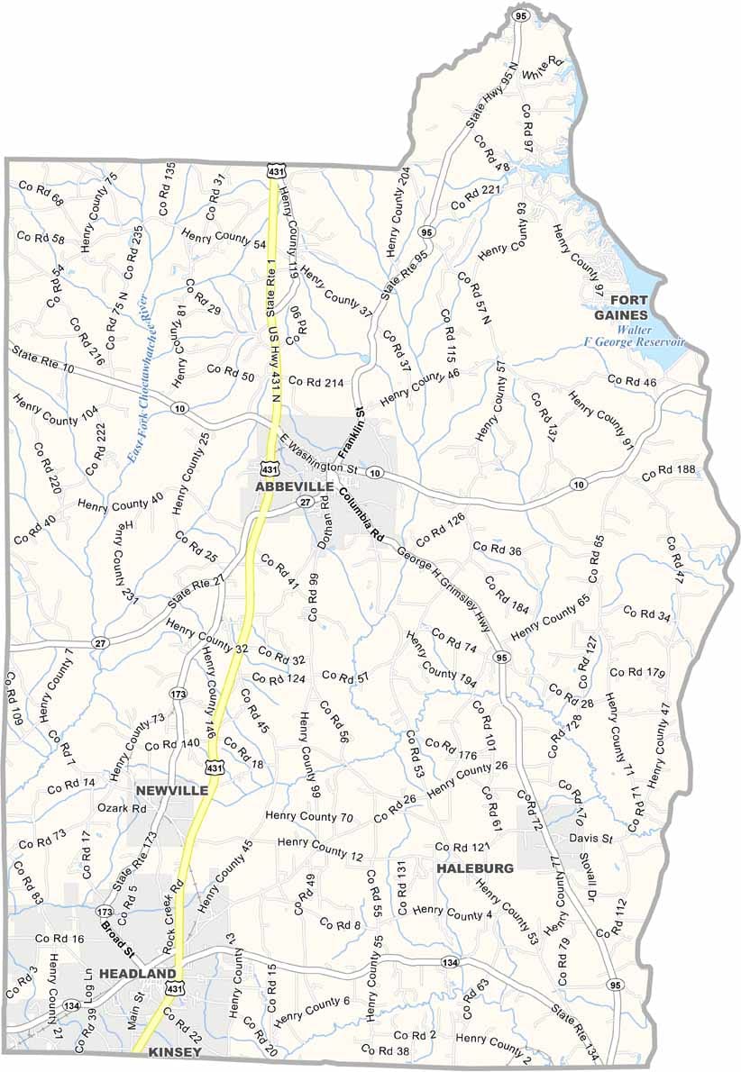
Henry County Map Download Alabama – Outline Map and Blank Map

Henry County Map Download Alabama – Outline Map and Blank Map

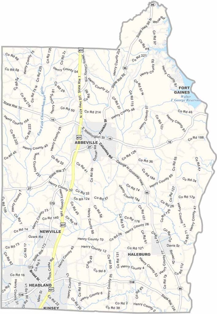
Henry County maps showing boundaries and locations in Alabama.

Henry County, Alabama

Henry County is located in the southeastern corner of Alabama, bordering Georgia and situated within the Wiregrass region. It is known for its strong agricultural roots, particularly as one of the state’s leading peanut-producing areas.

Abbeville serves as the county seat, with a population of around 17,000. It is a small, historic community featuring a preserved downtown area and a peaceful rural setting.

Lake Eufaula lies along the Georgia border and is a popular destination for fishing and boating. The Chattahoochee River also forms the county’s eastern boundary, adding to its scenic natural landscape.
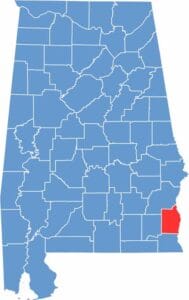

Henry County location map showing its position in Alabama.
Category Details
County Name Henry County
County Seat Abbeville
Cities, Towns, and Communities Abbeville, Headland, Newville, Haleburg, Shorterville, Tumbleton, Capps
Interstates and Highways U.S. Highway 431, U.S. Highway 431 Bypass, State Route 10, State Route 27, State Route 95, State Route 134
Etymology Named after Patrick Henry, a Founding Father and the first Governor of Virginia
FIPS Code 01-067
Total Area (Land and Water) 568 square miles (Land: 562 sq mi, Water: 6 sq mi)
Time Zone Central Time Zone (CT)
State Alabama
Coordinates 31.5090° N, 85.2392° W
Major Landmarks Abbeville Historic District, Headland Presbyterian Church, Chattahoochee State Park, Henry County Courthouse
Adjacent Counties (and Direction) Barbour County (North), Clay County, Georgia (Northeast), Early County, Georgia (Southeast), Houston County (South), Dale County (West)
Population Approximately 17,000
Scroll to Top